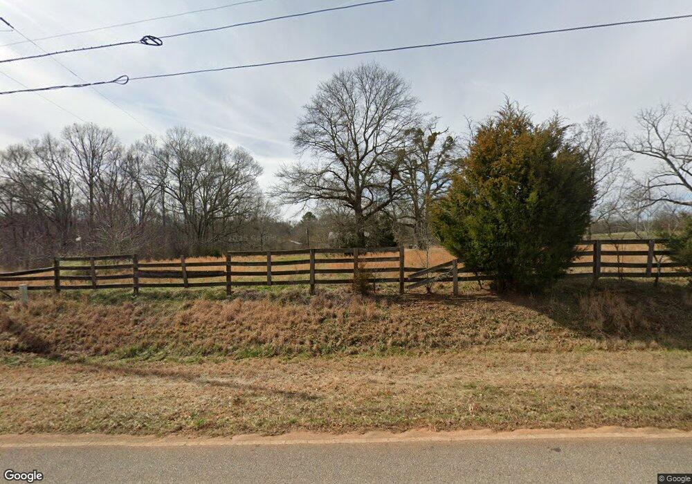
390 J Davis Rd Danielsville, GA 30633
Estimated Value: $294,198 - $401,000
3
Beds
2
Baths
1,305
Sq Ft
$271/Sq Ft
Est. Value
About This Home
This home is located at 390 J Davis Rd, Danielsville, GA 30633 and is currently estimated at $353,300, approximately $270 per square foot. 390 J Davis Rd is a home located in Madison County with nearby schools including Madison County High School.
Ownership History
Date
Name
Owned For
Owner Type
Purchase Details
Closed on
Sep 22, 2008
Sold by
Aponte Edgardo
Bought by
Borden Christopher
Current Estimated Value
Home Financials for this Owner
Home Financials are based on the most recent Mortgage that was taken out on this home.
Original Mortgage
$100,000
Outstanding Balance
$66,291
Interest Rate
6.45%
Mortgage Type
New Conventional
Estimated Equity
$287,009
Purchase Details
Closed on
Jun 1, 2007
Sold by
Aponte Edgardo H
Bought by
Aponte Tracy
Purchase Details
Closed on
Apr 7, 1997
Sold by
Pierce Gregory L
Bought by
Aponte Edgar H
Purchase Details
Closed on
May 3, 1996
Bought by
Pierce Gregory L
Create a Home Valuation Report for This Property
The Home Valuation Report is an in-depth analysis detailing your home's value as well as a comparison with similar homes in the area
Home Values in the Area
Average Home Value in this Area
Purchase History
| Date | Buyer | Sale Price | Title Company |
|---|---|---|---|
| Borden Christopher | $166,000 | -- | |
| Aponte Tracy | -- | -- | |
| Aponte Edgar H | $60,000 | -- | |
| Pierce Gregory L | -- | -- |
Source: Public Records
Mortgage History
| Date | Status | Borrower | Loan Amount |
|---|---|---|---|
| Open | Borden Christopher | $100,000 |
Source: Public Records
Tax History Compared to Growth
Tax History
| Year | Tax Paid | Tax Assessment Tax Assessment Total Assessment is a certain percentage of the fair market value that is determined by local assessors to be the total taxable value of land and additions on the property. | Land | Improvement |
|---|---|---|---|---|
| 2024 | $2,044 | $80,534 | $26,781 | $53,753 |
| 2023 | $2,225 | $72,901 | $22,317 | $50,584 |
| 2022 | $1,609 | $60,319 | $15,344 | $44,975 |
| 2021 | $1,488 | $50,743 | $15,344 | $35,399 |
| 2020 | $1,430 | $48,511 | $13,112 | $35,399 |
| 2019 | $1,426 | $47,850 | $13,112 | $34,738 |
| 2018 | $1,402 | $46,961 | $11,996 | $34,965 |
| 2017 | $1,314 | $45,649 | $11,159 | $34,490 |
| 2016 | $1,120 | $41,036 | $11,159 | $29,877 |
| 2015 | $1,121 | $41,036 | $11,159 | $29,877 |
| 2014 | $1,156 | $41,998 | $11,401 | $30,596 |
| 2013 | -- | $41,998 | $11,401 | $30,596 |
Source: Public Records
Map
Nearby Homes
- 2888 Moons Grove Church Rd
- 614 Holman-Autry Rd
- 0 Brewer Phillips Rd Unit 10462348
- 136 Wedgewood Dr
- 1625 Highway 29 S
- 280 Corey Dr
- 339 Sam Groves St
- 235 Long Estates Dr
- 0 Veterans Dr Unit 10462425
- 0 Veterans Dr Unit 10462434
- 0 Veterans Dr Unit 10462428
- 0 Veterans Dr Unit 10462420
- 0 Veterans Dr Unit 10462408
- 0 Veterans Dr Unit 10462402
- 135 Woodpecker Pte
- 49 Ridgeway Dr
- 599 Double Branch Rd
- 135 Woodpecker Point
- 155 Mulberry Ln
- 134 Northridge Place
- 342 J Davis Rd
- 336 J Davis Rd
- 2607 Booger Hill Rd
- 234 J Davis Rd
- 539 J Davis Rd
- 2818 Moons Grove Church Rd
- 184 J Davis Rd
- 881 J Davis Rd
- 2067 Booger Hill Rd
- 2297 Booger Hill Rd
- 2415 Booger Hill Rd
- 0 Booger Hill Rd Unit CM941870
- 0 Booger Hill Rd Unit CM38052
- 0 Booger Hill Rd Unit CM422456
- 0 Booger Hill Rd Unit CM947961
- 0 Booger Hill Rd Unit CM491273
- 0 Booger Hill Rd Unit CM427485
- 0 Booger Hill Rd Unit 7493490
- 0 Booger Hill Rd Unit 8555615
- 0 Booger Hill Rd Unit 8528787
