Estimated Value: $97,535 - $117,000
3
Beds
1
Bath
1,016
Sq Ft
$105/Sq Ft
Est. Value
About This Home
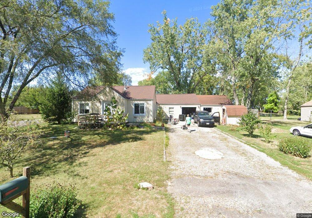
This home is located at 390 Jacobs Ave, Lima, OH 45801 and is currently estimated at $106,384, approximately $104 per square foot. 390 Jacobs Ave is a home located in Allen County with nearby schools including Elida Elementary School, Elida Middle School, and Elida High School.
Ownership History
Date
Name
Owned For
Owner Type
Purchase Details
Closed on
Mar 31, 1995
Sold by
Thomas Bonnie
Bought by
Morrisey Scott
Current Estimated Value
Home Financials for this Owner
Home Financials are based on the most recent Mortgage that was taken out on this home.
Original Mortgage
$33,950
Interest Rate
8.91%
Mortgage Type
New Conventional
Purchase Details
Closed on
Mar 30, 1993
Sold by
Thomas Bonnie Leora
Bought by
Thomas Bonnie Leora
Purchase Details
Closed on
Jan 1, 1990
Bought by
Thomas Bonnie Leora
Create a Home Valuation Report for This Property
The Home Valuation Report is an in-depth analysis detailing your home's value as well as a comparison with similar homes in the area
Purchase History
| Date | Buyer | Sale Price | Title Company |
|---|---|---|---|
| Morrisey Scott | $35,000 | -- | |
| Thomas Bonnie Leora | -- | -- | |
| Thomas Bonnie Leora | -- | -- |
Source: Public Records
Mortgage History
| Date | Status | Borrower | Loan Amount |
|---|---|---|---|
| Closed | Morrisey Scott | $33,950 |
Source: Public Records
Tax History
| Year | Tax Paid | Tax Assessment Tax Assessment Total Assessment is a certain percentage of the fair market value that is determined by local assessors to be the total taxable value of land and additions on the property. | Land | Improvement |
|---|---|---|---|---|
| 2024 | $1,091 | $19,220 | $3,190 | $16,030 |
| 2023 | $1,144 | $18,310 | $3,050 | $15,260 |
| 2022 | $1,198 | $18,310 | $3,050 | $15,260 |
| 2021 | $1,205 | $18,310 | $3,050 | $15,260 |
| 2020 | $1,081 | $15,300 | $2,870 | $12,430 |
| 2019 | $1,081 | $15,300 | $2,870 | $12,430 |
| 2018 | $1,088 | $15,300 | $2,870 | $12,430 |
| 2017 | $1,012 | $14,180 | $2,870 | $11,310 |
| 2016 | $1,011 | $14,180 | $2,870 | $11,310 |
| 2015 | $862 | $14,180 | $2,870 | $11,310 |
| 2014 | $862 | $12,150 | $2,770 | $9,380 |
| 2013 | $819 | $12,150 | $2,770 | $9,380 |
Source: Public Records
Map
Nearby Homes
- 475 Kenmore St
- 520 Kenmore St
- 1705 Karen St
- 1014 Brower Rd
- 2371 Mandolin Dr
- 2300 Mandolin Dr
- 207 W Lane Ave
- 1143 Brower Rd
- 3137 Thorndyke Dr
- 1317 Virginia Ave
- 1889 N Metcalf St
- 0 Thorndyke Dr
- 1435 N Central Ave
- 1212 Virginia Ave
- 2718 Carolyn Dr
- 608 W O'Connor Ave
- 2630 Carolyn Dr
- 645 W O'Connor Ave
- 760 W O'Connor Ave
- 1164 Bahama Dr
- 2320 N McDonel St
- 360 Jacobs Ave
- 360 Jacobs Ave
- 360 Jacobs Ave Unit 3
- 2311 N McDonel St
- 421 Sandpiper St
- 140 Lady Bird Ln
- 2341 N McDonel St
- 2321 N McDonel St
- 2340 N McDonel St
- 126 Lady Bird Ln
- 430 Sandpiper St
- 2527 N West St
- 156 Lady Bird Ln
- 116 Lady Bird Ln
- 2370 N McDonel St
- 2361 N McDonel St
- 166 Lady Bird Ln
- 2421 N West St
- 435 Sandpiper St
Your Personal Tour Guide
Ask me questions while you tour the home.