390 Kims Cove Ct Prosperity, SC 29127
Estimated Value: $496,000 - $927,000
--
Bed
--
Bath
3,416
Sq Ft
$225/Sq Ft
Est. Value
About This Home
This home is located at 390 Kims Cove Ct, Prosperity, SC 29127 and is currently estimated at $769,302, approximately $225 per square foot. 390 Kims Cove Ct is a home located in Newberry County with nearby schools including Little Mountain Elementary School, Mid-Carolina Middle School, and Mid-Carolina High School.
Ownership History
Date
Name
Owned For
Owner Type
Purchase Details
Closed on
Dec 18, 2014
Sold by
Wyatt William R
Bought by
Wyatt William R and William R Wyatt Iii Revocable Trust
Current Estimated Value
Purchase Details
Closed on
Oct 3, 2007
Sold by
Mcgee Kelly and Mcgee Carole S
Bought by
Wyatt William R and Patton Wyatt Jane Y
Home Financials for this Owner
Home Financials are based on the most recent Mortgage that was taken out on this home.
Original Mortgage
$80,000
Outstanding Balance
$50,674
Interest Rate
6.49%
Estimated Equity
$718,629
Create a Home Valuation Report for This Property
The Home Valuation Report is an in-depth analysis detailing your home's value as well as a comparison with similar homes in the area
Home Values in the Area
Average Home Value in this Area
Purchase History
| Date | Buyer | Sale Price | Title Company |
|---|---|---|---|
| Wyatt William R | -- | -- | |
| Patton Wyatt Jane Y | -- | -- | |
| Wyatt William R | -- | -- | |
| Wyatt William R | $470,000 | None Available |
Source: Public Records
Mortgage History
| Date | Status | Borrower | Loan Amount |
|---|---|---|---|
| Open | Wyatt William R | $80,000 |
Source: Public Records
Tax History Compared to Growth
Tax History
| Year | Tax Paid | Tax Assessment Tax Assessment Total Assessment is a certain percentage of the fair market value that is determined by local assessors to be the total taxable value of land and additions on the property. | Land | Improvement |
|---|---|---|---|---|
| 2024 | $3,340 | $19,575 | $7,018 | $12,557 |
| 2023 | $3,305 | $19,575 | $7,018 | $12,557 |
| 2022 | $3,270 | $19,575 | $7,018 | $12,557 |
| 2021 | $3,186 | $19,035 | $7,598 | $11,437 |
| 2020 | $3,560 | $19,035 | $7,598 | $11,437 |
| 2019 | $3,599 | $19,035 | $7,598 | $11,437 |
| 2018 | $3,231 | $16,552 | $6,868 | $9,684 |
| 2017 | $4,138 | $16,552 | $6,868 | $9,684 |
| 2016 | $3,214 | $16,552 | $6,868 | $9,684 |
| 2015 | -- | $0 | $0 | $0 |
| 2014 | -- | $16,552 | $0 | $0 |
| 2013 | -- | $16,556 | $0 | $0 |
| 2012 | -- | $16,140 | $0 | $0 |
Source: Public Records
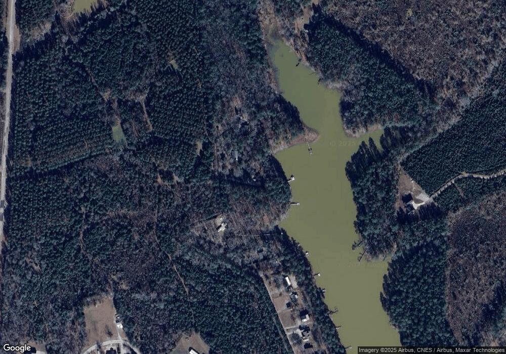
Map
Nearby Homes
- 0 Osprey Pointe Ln Unit 608020
- 0 Osprey Pointe Ln Unit 601268
- 196 Osprey Pointe Ln
- 0 Lands End Ln Unit 582180
- 0 Lands End Ln Unit 582171
- 0 Lands End Ln Unit 582170
- 0 Lands End Ln Unit 581823
- 0 Lands End Ln Unit 581187
- 0 Lands End Ln Unit 579853
- 0 Lands End Ln Unit 579424
- 0 Lands End Ln Unit 579421
- 0 Lands Ends Ln Unit 579855
- 0 Woodside Shores Dr
- 0 Adventure Bay Unit 579430
- 0 Adventure Bay Unit 579094
- 0 Adventure Bay Unit 579093
- 0 Adventure Bay Unit 579080
- 0 Adventure Bay Unit 579004
- Tbd Shelter Bay Ridge
- 243 Woodside Shores Dr
- 436 Kims Cove Ct
- 300 Waterfront Row
- 250 Waterfront Row
- 216 Waterfront Row
- 194 Waterfront Row
- 168 Waterfront Row
- 144 Waterfront Row
- 2583 Ira Kinard Rd
- 122 Watefront Row
- 104 Waterfront Row
- 1224 Seagull Ln
- 1135 Seagull Ln
- 42 Waterfront Row
- 1231 Seagull Ln
- 28 Waterfront Row
- 38 Kims Cove
- 78 Kims Cove
- 1237 Seagull Ln
- 36 Kims Cove
- 20 Waterfront Row