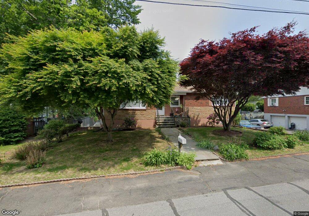
390 Lakeside Dr Bridgeport, CT 06606
North End NeighborhoodEstimated Value: $384,000 - $454,000
3
Beds
1
Bath
1,186
Sq Ft
$357/Sq Ft
Est. Value
About This Home
This home is located at 390 Lakeside Dr, Bridgeport, CT 06606 and is currently estimated at $423,010, approximately $356 per square foot. 390 Lakeside Dr is a home located in Fairfield County with nearby schools including Wilbur L. Cross Elementary School, Central High School, and St Andrew School.
Ownership History
Date
Name
Owned For
Owner Type
Purchase Details
Closed on
Feb 1, 1995
Sold by
Mccrea Idel
Bought by
Comacho Maximino
Current Estimated Value
Create a Home Valuation Report for This Property
The Home Valuation Report is an in-depth analysis detailing your home's value as well as a comparison with similar homes in the area
Home Values in the Area
Average Home Value in this Area
Purchase History
| Date | Buyer | Sale Price | Title Company |
|---|---|---|---|
| Comacho Maximino | $95,000 | -- | |
| Comacho Maximino | $95,000 | -- |
Source: Public Records
Mortgage History
| Date | Status | Borrower | Loan Amount |
|---|---|---|---|
| Open | Comacho Maximino | $217,000 | |
| Closed | Comacho Maximino | $188,000 | |
| Closed | Comacho Maximino | $129,000 | |
| Closed | Comacho Maximino | $22,648 |
Source: Public Records
Tax History Compared to Growth
Tax History
| Year | Tax Paid | Tax Assessment Tax Assessment Total Assessment is a certain percentage of the fair market value that is determined by local assessors to be the total taxable value of land and additions on the property. | Land | Improvement |
|---|---|---|---|---|
| 2025 | $7,478 | $172,100 | $78,440 | $93,660 |
| 2024 | $7,478 | $172,100 | $78,440 | $93,660 |
| 2023 | $7,478 | $172,100 | $78,440 | $93,660 |
| 2022 | $7,478 | $172,100 | $78,440 | $93,660 |
| 2021 | $7,478 | $172,100 | $78,440 | $93,660 |
| 2020 | $7,152 | $132,460 | $59,400 | $73,060 |
| 2019 | $7,152 | $132,460 | $59,400 | $73,060 |
| 2018 | $7,202 | $132,460 | $59,400 | $73,060 |
| 2017 | $7,202 | $132,460 | $59,400 | $73,060 |
| 2016 | $7,202 | $132,460 | $59,400 | $73,060 |
| 2015 | $6,419 | $152,120 | $67,420 | $84,700 |
| 2014 | $6,419 | $152,120 | $67,420 | $84,700 |
Source: Public Records
Map
Nearby Homes
- 45 Rogerson Cir
- 1800 Chopsey Hill Rd
- 1675 Old Town Rd
- 715 Frenchtown Rd Unit 31
- 135 Grey Rock Rd
- 291 Frenchtown Rd
- 45 Frenchtown Rd
- 238 Griffin Ave
- 90 Sequoia Rd
- 142 Chatham Terrace
- 344 Cambridge St
- 65 Clearview Dr
- 32 Karen Ct Unit b
- 84 Oxford St
- 114 Oxford St
- 26 Karen Ct Unit A
- 165 Yaremich Dr
- 54 Agnes St
- 7 Stone Ridge Rd
- 365 Platt St
- 406 Lakeside Dr
- 217 Dexter Dr
- 233 Dexter Dr
- 438 Lakeside Dr
- 380 Lakeside Dr
- 201 Dexter Dr
- 409 Lakeside Dr
- 395 Lakeside Dr
- 421 Lakeside Dr
- 185 Dexter Dr
- 361 Lakeside Dr
- 435 Lakeside Dr
- 364 Lakeside Dr
- 154 Woodbine Cir
- 247 Dexter Dr
- 222 Dexter Dr
- 173 Dexter Dr
- 456 Lakeside Dr
- 210 Dexter Dr
- 465 Lakeside Dr