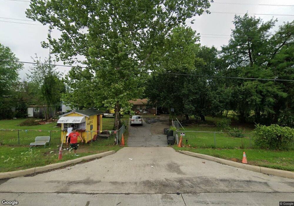
390 Leary Rd Texarkana, TX 75501
Estimated Value: $113,265 - $153,000
--
Bed
--
Bath
1,056
Sq Ft
$123/Sq Ft
Est. Value
About This Home
This home is located at 390 Leary Rd, Texarkana, TX 75501 and is currently estimated at $129,816, approximately $122 per square foot. 390 Leary Rd is a home with nearby schools including Red Lick Elementary School and Red Lick Middle School.
Ownership History
Date
Name
Owned For
Owner Type
Purchase Details
Closed on
Mar 3, 2020
Sold by
Mt Kirby Investments Llc
Bought by
Cowboy Squirrel Investments Llc
Current Estimated Value
Purchase Details
Closed on
Jul 1, 2014
Sold by
Cross Lajuan
Bought by
Mt Kirby Investments Llc
Home Financials for this Owner
Home Financials are based on the most recent Mortgage that was taken out on this home.
Original Mortgage
$54,400
Interest Rate
4.19%
Mortgage Type
Purchase Money Mortgage
Create a Home Valuation Report for This Property
The Home Valuation Report is an in-depth analysis detailing your home's value as well as a comparison with similar homes in the area
Home Values in the Area
Average Home Value in this Area
Purchase History
| Date | Buyer | Sale Price | Title Company |
|---|---|---|---|
| Cowboy Squirrel Investments Llc | -- | None Available | |
| Mt Kirby Investments Llc | -- | Stewart Title Of Texarkana |
Source: Public Records
Mortgage History
| Date | Status | Borrower | Loan Amount |
|---|---|---|---|
| Previous Owner | Mt Kirby Investments Llc | $54,400 |
Source: Public Records
Tax History Compared to Growth
Tax History
| Year | Tax Paid | Tax Assessment Tax Assessment Total Assessment is a certain percentage of the fair market value that is determined by local assessors to be the total taxable value of land and additions on the property. | Land | Improvement |
|---|---|---|---|---|
| 2025 | $1,708 | $106,564 | $8,500 | $98,064 |
| 2024 | $1,708 | $99,887 | $8,500 | $91,387 |
| 2023 | $1,814 | $106,922 | $8,500 | $98,422 |
| 2022 | $1,668 | $96,798 | $8,500 | $88,298 |
| 2021 | $1,477 | $81,749 | $825 | $80,924 |
| 2020 | $1,425 | $78,119 | $825 | $77,294 |
| 2019 | $1,682 | $74,654 | $825 | $73,829 |
| 2018 | $1,113 | $59,222 | $825 | $58,397 |
| 2017 | $1,109 | $59,557 | $825 | $58,732 |
| 2016 | $1,071 | $57,521 | $825 | $56,696 |
| 2015 | $329 | $54,161 | $2,500 | $51,661 |
| 2014 | $329 | $52,249 | $2,500 | $49,749 |
Source: Public Records
Map
Nearby Homes
- 3201 Jason Ln
- 8820 W New Boston Rd
- 193 Bronco Dr
- 185 Bronco Dr
- 437 Beaver Lake Dr
- 50 Beaver Lake Dr
- 415 Shipp Rd
- 781 Beaver Lake Dr
- 18 Country Ln
- 38 King Rd
- 1 Beaver Creek Run
- 1067 Beaver Lake Dr
- 262 Beaver Creek Run
- 24 Silver Hill Dr
- 1243 Beaver Lake Dr
- 880 Presley St
- 121 Cr 2201
- 52 Chesterfield Cir
- 0 Ava Ln
- 23 Steeple View
- 400 Farm To Market 2253
- 150 Fm 2253
- 150 Fm 2253
- 150 Fm 2253
- 451 Leary Rd
- 102 Leary Rd
- 9124 W New Boston Rd
- 99 Fm 2253
- 9130 W New Boston Rd
- 9204 W New Boston Rd
- 9504 W New Boston Rd
- 9540 W New Boston Rd
- 9122 W New Boston Rd
- 9116 W New Boston Rd
- 512 Leary Rd Unit O
- 9114 W New Boston Rd
- 9110 W New Boston Rd
- 9000 W New Boston Rd
- 644 Leary Rd
- 136 Turner Rd