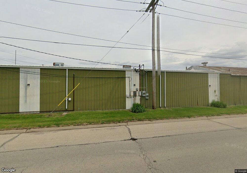
390 Limit St Lincoln, IL 62656
Estimated Value: $238,621
--
Bed
--
Bath
576
Sq Ft
$414/Sq Ft
Est. Value
About This Home
This home is located at 390 Limit St, Lincoln, IL 62656 and is currently priced at $238,621, approximately $414 per square foot. 390 Limit St is a home located in Logan County with nearby schools including Chester-East Lincoln Elementary School, Lincoln Community High School, and Carroll Catholic School.
Ownership History
Date
Name
Owned For
Owner Type
Purchase Details
Closed on
Jul 1, 2024
Sold by
Canady Timothy M and Canady Liberty L
Bought by
Canady Trust
Current Estimated Value
Purchase Details
Closed on
Nov 30, 2021
Sold by
Ray Kevin M and Ray Linda K
Bought by
Canady Timothy M and Canady Liberty L
Home Financials for this Owner
Home Financials are based on the most recent Mortgage that was taken out on this home.
Original Mortgage
$170,000
Interest Rate
2.98%
Mortgage Type
New Conventional
Create a Home Valuation Report for This Property
The Home Valuation Report is an in-depth analysis detailing your home's value as well as a comparison with similar homes in the area
Home Values in the Area
Average Home Value in this Area
Purchase History
| Date | Buyer | Sale Price | Title Company |
|---|---|---|---|
| Canady Trust | $118,000 | None Available | |
| Canady Timothy M | $209,000 | None Available |
Source: Public Records
Mortgage History
| Date | Status | Borrower | Loan Amount |
|---|---|---|---|
| Previous Owner | Canady Timothy M | $170,000 |
Source: Public Records
Tax History Compared to Growth
Tax History
| Year | Tax Paid | Tax Assessment Tax Assessment Total Assessment is a certain percentage of the fair market value that is determined by local assessors to be the total taxable value of land and additions on the property. | Land | Improvement |
|---|---|---|---|---|
| 2024 | $5,740 | $67,010 | $20,020 | $46,990 |
| 2023 | $5,417 | $62,050 | $18,540 | $43,510 |
| 2022 | $5,204 | $57,990 | $17,330 | $40,660 |
| 2021 | $5,035 | $55,680 | $16,640 | $39,040 |
| 2020 | $4,990 | $54,850 | $16,390 | $38,460 |
| 2019 | $4,991 | $54,850 | $16,390 | $38,460 |
| 2018 | $4,953 | $53,780 | $16,070 | $37,710 |
| 2017 | $4,961 | $53,780 | $16,070 | $37,710 |
| 2016 | $4,928 | $53,720 | $16,050 | $37,670 |
| 2015 | $5,108 | $57,260 | $15,510 | $41,750 |
| 2014 | $5,108 | $57,260 | $15,510 | $41,750 |
| 2013 | $5,108 | $54,350 | $14,720 | $39,630 |
| 2012 | $5,108 | $55,330 | $14,990 | $40,340 |
Source: Public Records
Map
Nearby Homes
- 1624 Delavan St
- 1311 Broadway St
- 1227 Delavan St
- 1225 Delavan St
- 1121 Broadway St
- 1025 Broadway St
- 928 Broadway St
- 929 Decatur St
- 617 Decatur St
- 915 Peoria St
- 521 Decatur St
- 1019 N Mclean St
- 113 N Kickapoo St
- 418 Wyatt Ave
- 402 Wyatt Ave
- 419 Decatur St
- 502 Williamette Ave
- 311 Davenport St
- 410 S Chicago St
- 620 Tremont St
- 1727 Delavan St
- 1723 Delavan St
- 1726 Delavan St
- 1717 Delavan St
- 380 Limit St
- 1716 Delavan St
- 1707 Delavan St
- 1714 Delavan St
- 1927 Tremont St
- 1703 Delavan St
- 1710 Delavan St
- 1925 Tremont St
- 1702 Delavan St
- 1631 Delavan St
- 1626 Delavan St
- 1625 Delavan St
- 1901 Tremont St
- 1621 Delavan St
- 1616 Delavan St
- 309 Earl St