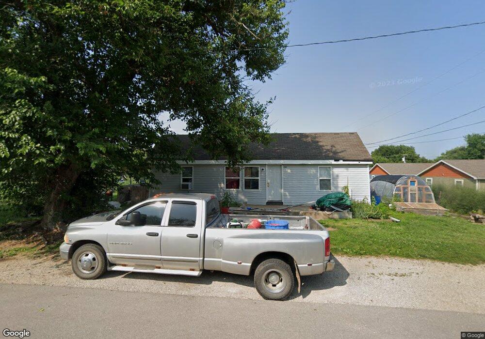
390 Mcphail St Lebanon, MO 65536
Estimated Value: $128,667 - $143,000
Studio
--
Bath
1,070
Sq Ft
$127/Sq Ft
Est. Value
About This Home
This home is located at 390 Mcphail St, Lebanon, MO 65536 and is currently estimated at $135,417, approximately $126 per square foot. 390 Mcphail St is a home located in Laclede County with nearby schools including Joe D. Esther Elementary School, Boswell Elementary School, and Maplecrest Elementary School.
Ownership History
Date
Name
Owned For
Owner Type
Purchase Details
Closed on
Nov 3, 2018
Sold by
Taylor Carla D
Bought by
Sutton Joshua D
Current Estimated Value
Purchase Details
Closed on
Jan 8, 2009
Sold by
Taylor Carla D
Bought by
Prichard Michael G
Purchase Details
Closed on
Jul 3, 2008
Sold by
Taylor Richard Allen
Bought by
Taylor Carla Dawn
Create a Home Valuation Report for This Property
The Home Valuation Report is an in-depth analysis detailing your home's value as well as a comparison with similar homes in the area
Home Values in the Area
Average Home Value in this Area
Purchase History
| Date | Buyer | Sale Price | Title Company |
|---|---|---|---|
| Sutton Joshua D | -- | None Available | |
| Prichard Michael G | -- | None Available | |
| Taylor Carla Dawn | -- | None Available |
Source: Public Records
Mortgage History
| Date | Status | Borrower | Loan Amount |
|---|---|---|---|
| Closed | Prichard Michael G | $0 |
Source: Public Records
Tax History
| Year | Tax Paid | Tax Assessment Tax Assessment Total Assessment is a certain percentage of the fair market value that is determined by local assessors to be the total taxable value of land and additions on the property. | Land | Improvement |
|---|---|---|---|---|
| 2025 | $448 | $9,520 | $0 | $0 |
| 2024 | $448 | $7,850 | $0 | $0 |
| 2023 | $461 | $7,850 | $0 | $0 |
| 2022 | $430 | $7,850 | $0 | $0 |
| 2021 | $473 | $7,847 | $1,387 | $6,460 |
| 2020 | $459 | $7,581 | $1,159 | $6,422 |
| 2019 | $440 | $7,580 | $1,160 | $6,420 |
| 2018 | $413 | $0 | $0 | $0 |
| 2017 | $380 | $7,350 | $0 | $0 |
| 2016 | $380 | $7,350 | $0 | $0 |
| 2015 | $380 | $7,350 | $0 | $0 |
| 2014 | $380 | $7,350 | $0 | $0 |
| 2013 | -- | $7,350 | $0 | $0 |
Source: Public Records
Map
Nearby Homes
- 411 South St
- 450 Michigan Ave
- 540 Pearl St
- 480 Center Ave
- 588 Locust St
- 880 East St
- 1025 Saint Louis St
- 0 County Rd 64-152 N A
- Lot 20 Missouri 64
- 1719 State Hwy 64
- 015 Missouri 64
- Lot 19 Missouri 64
- Lot 18 Missouri 64
- Lot 17 Missouri 64
- 014 Missouri 64
- 016 Missouri 64
- 001 Missouri 64
- 6 Cambridge Ct
- 006 Missouri 64
- 000 Missouri 64 Unit Lot 18
Your Personal Tour Guide
Ask me questions while you tour the home.