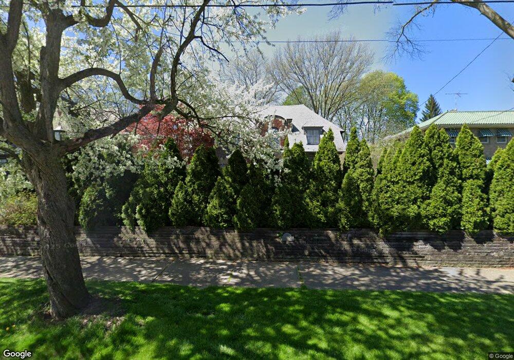
390 Merriman Rd Akron, OH 44303
Highland Square NeighborhoodEstimated Value: $338,271 - $554,000
4
Beds
4
Baths
3,028
Sq Ft
$133/Sq Ft
Est. Value
About This Home
This home is located at 390 Merriman Rd, Akron, OH 44303 and is currently estimated at $404,068, approximately $133 per square foot. 390 Merriman Rd is a home located in Summit County with nearby schools including King Community Learning Center, Towpath Trail High School, and Our Lady Of The Elms Elementary School.
Ownership History
Date
Name
Owned For
Owner Type
Purchase Details
Closed on
May 7, 1997
Sold by
Bober Mark B
Bought by
Allread Thomas J
Current Estimated Value
Home Financials for this Owner
Home Financials are based on the most recent Mortgage that was taken out on this home.
Original Mortgage
$200,000
Outstanding Balance
$27,511
Interest Rate
8.05%
Mortgage Type
New Conventional
Estimated Equity
$376,557
Create a Home Valuation Report for This Property
The Home Valuation Report is an in-depth analysis detailing your home's value as well as a comparison with similar homes in the area
Home Values in the Area
Average Home Value in this Area
Purchase History
| Date | Buyer | Sale Price | Title Company |
|---|---|---|---|
| Allread Thomas J | $225,000 | -- |
Source: Public Records
Mortgage History
| Date | Status | Borrower | Loan Amount |
|---|---|---|---|
| Open | Allread Thomas J | $200,000 |
Source: Public Records
Tax History Compared to Growth
Tax History
| Year | Tax Paid | Tax Assessment Tax Assessment Total Assessment is a certain percentage of the fair market value that is determined by local assessors to be the total taxable value of land and additions on the property. | Land | Improvement |
|---|---|---|---|---|
| 2025 | $4,773 | $88,802 | $15,022 | $73,780 |
| 2024 | $4,773 | $88,802 | $15,022 | $73,780 |
| 2023 | $4,773 | $88,802 | $15,022 | $73,780 |
| 2022 | $4,853 | $71,040 | $12,016 | $59,024 |
| 2021 | $4,858 | $71,040 | $12,016 | $59,024 |
| 2020 | $4,785 | $71,040 | $12,020 | $59,020 |
| 2019 | $5,487 | $75,520 | $12,930 | $62,590 |
| 2018 | $5,413 | $75,520 | $12,930 | $62,590 |
| 2017 | $5,036 | $75,520 | $12,930 | $62,590 |
| 2016 | $5,040 | $68,960 | $12,930 | $56,030 |
| 2015 | $5,036 | $68,960 | $12,930 | $56,030 |
| 2014 | $4,995 | $68,960 | $12,930 | $56,030 |
| 2013 | $4,904 | $69,130 | $12,930 | $56,200 |
Source: Public Records
Map
Nearby Homes
- 215 Casterton Ave
- 225 N Highland Ave
- 709 Wellesley Ave
- 782 Memorial Pkwy
- 275 N Portage Path Unit 5A
- 427 Kathleen St
- 333 N Portage Path Unit 34
- 333 N Portage Path Unit 6
- 94 Kuder Ave
- 76 Kuder Ave
- 400 Delaware Ave
- 74 Maplewood Ave
- 430 Delaware Ave
- 995 Jefferson Ave
- 63 Grand Ave
- 820 Buckeye Dr
- 590 Weber Ave
- 71 Dodge Ave
- 652 Palisades Dr
- 166 Marvin Ave
- 384 Merriman Rd
- 402 Merriman Rd
- 255 Casterton Ave
- 265 Casterton Ave
- 376 Merriman Rd
- 271 Casterton Ave
- 249 Casterton Ave
- 275 Casterton Ave
- 414 Merriman Rd
- 395 Merriman Rd
- 241 Casterton Ave
- 381 Merriman Rd
- 407 Merriman Rd
- 418 Merriman Rd
- 235 Casterton Ave
- 243 Metz Ave
- 371 Merriman Rd
- 239 Metz Ave
- 749 Chitty Ave
- 358 Merriman Rd