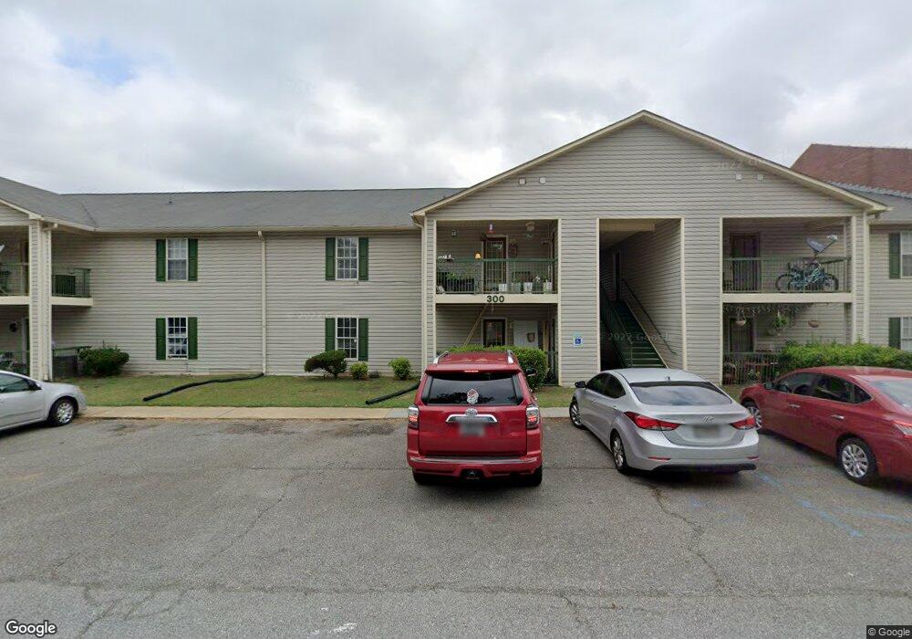
390 Old Mill Rd Unit 104 Cartersville, GA 30120
Estimated Value: $8,434,986
2
Beds
2
Baths
1,200
Sq Ft
$7,029/Sq Ft
Est. Value
About This Home
This home is located at 390 Old Mill Rd Unit 104, Cartersville, GA 30120 and is currently estimated at $8,434,986, approximately $7,029 per square foot. 390 Old Mill Rd Unit 104 is a home located in Bartow County with nearby schools including Cartersville Elementary School, Cartersville Middle School, and Cartersville High School.
Ownership History
Date
Name
Owned For
Owner Type
Purchase Details
Closed on
Nov 30, 2018
Sold by
Barrett Daniel
Bought by
Hannah Cartersville Llc
Current Estimated Value
Purchase Details
Closed on
May 20, 2015
Sold by
Blackwell Suk Hui
Bought by
Barrett Daniel
Purchase Details
Closed on
Dec 5, 2008
Sold by
The Boys & Girls Hannah
Bought by
Blackwell Suhkui
Purchase Details
Closed on
Jun 29, 2007
Sold by
Blackwell Suk Hui
Bought by
Shuman Edwardo
Create a Home Valuation Report for This Property
The Home Valuation Report is an in-depth analysis detailing your home's value as well as a comparison with similar homes in the area
Home Values in the Area
Average Home Value in this Area
Purchase History
| Date | Buyer | Sale Price | Title Company |
|---|---|---|---|
| Hannah Cartersville Llc | $4,700,000 | -- | |
| Barrett Daniel | -- | -- | |
| Blackwell Suhkui | -- | -- | |
| Shuman Edwardo | $3,800,000 | -- |
Source: Public Records
Tax History Compared to Growth
Tax History
| Year | Tax Paid | Tax Assessment Tax Assessment Total Assessment is a certain percentage of the fair market value that is determined by local assessors to be the total taxable value of land and additions on the property. | Land | Improvement |
|---|---|---|---|---|
| 2024 | $44,480 | $2,856,954 | $330,000 | $2,526,954 |
| 2023 | $45,393 | $2,856,954 | $330,000 | $2,526,954 |
| 2022 | $46,305 | $1,751,988 | $156,972 | $1,595,016 |
| 2021 | $47,600 | $1,751,988 | $156,972 | $1,595,016 |
| 2020 | $49,434 | $1,785,773 | $160,000 | $1,625,773 |
| 2019 | $50,801 | $1,134,067 | $160,000 | $974,067 |
| 2018 | $29,248 | $1,001,587 | $27,520 | $974,067 |
| 2017 | $29,193 | $978,880 | $28,014 | $950,866 |
| 2016 | $29,669 | $978,880 | $41,240 | $937,640 |
| 2015 | $32,307 | $1,089,600 | $27,520 | $1,062,080 |
| 2014 | -- | $978,880 | $41,240 | $937,640 |
| 2013 | -- | $978,880 | $41,240 | $937,640 |
Source: Public Records
Map
Nearby Homes
- 209 Parkview Dr
- 00 Douthit Ferry Rd
- 40 Calloway Ln
- 1240 West Ave
- 59 Calloway Ln
- 37 Lake Haven Dr
- 21 Stewart Dr
- 35 Lake Haven Dr
- 111 Tanglewood Dr
- 27 Grove Park Cir
- 23 Lake Haven Dr
- 555 Douthit Ferry Rd
- 209 Arrowhead Dr
- 5 Grove Park Cir
- 19 Woodview Dr
- 204 Arrowhead Dr
- 20 Woodland Dr
- 10 Woodland Dr
- 14 Town And Country Dr
- 00 Cummings Rd SE
- 390 Old Mill Rd
- 390 Old Mill Rd
- 280 Briar Patch Ln
- 282 Briar Patch Ln
- 284 Briar Patch Ln
- 284 Briar Patch Ln Unit 2
- 278 Briar Patch Ln
- 276 Briar Patch Ln
- 286 Briar Patch Ln
- 283 Briar Patch Ln
- 281 Briar Patch Ln
- 285 Briar Patch Ln
- 288 Briar Patch Ln
- 274 Briar Patch Ln
- 274 Briar Patch Ln
- 279 Briar Patch Ln
- 287 Briar Patch Ln
- 244 Parkview Dr
- 290 Briar Patch Ln
- 406 Old Mill Rd