390 Pepper Ln Weatherford, TX 76088
Estimated Value: $426,889 - $493,000
4
Beds
2
Baths
1,908
Sq Ft
$241/Sq Ft
Est. Value
About This Home
This home is located at 390 Pepper Ln, Weatherford, TX 76088 and is currently estimated at $459,945, approximately $241 per square foot. 390 Pepper Ln is a home located in Parker County with nearby schools including Garner Elementary School.
Ownership History
Date
Name
Owned For
Owner Type
Purchase Details
Closed on
Mar 16, 2015
Sold by
Green Holt James Randel and Green Holt Pamela
Bought by
Hultgren April H
Current Estimated Value
Home Financials for this Owner
Home Financials are based on the most recent Mortgage that was taken out on this home.
Original Mortgage
$216,015
Outstanding Balance
$168,856
Interest Rate
4.25%
Mortgage Type
FHA
Estimated Equity
$291,089
Purchase Details
Closed on
Apr 24, 2001
Sold by
Hurd Patrick L and Hurd Carrie
Bought by
York April M
Create a Home Valuation Report for This Property
The Home Valuation Report is an in-depth analysis detailing your home's value as well as a comparison with similar homes in the area
Home Values in the Area
Average Home Value in this Area
Purchase History
| Date | Buyer | Sale Price | Title Company |
|---|---|---|---|
| Hultgren April H | -- | Providence Title Company | |
| York April M | -- | -- |
Source: Public Records
Mortgage History
| Date | Status | Borrower | Loan Amount |
|---|---|---|---|
| Open | Hultgren April H | $216,015 |
Source: Public Records
Tax History Compared to Growth
Tax History
| Year | Tax Paid | Tax Assessment Tax Assessment Total Assessment is a certain percentage of the fair market value that is determined by local assessors to be the total taxable value of land and additions on the property. | Land | Improvement |
|---|---|---|---|---|
| 2025 | $4,285 | $344,584 | -- | -- |
| 2024 | $4,285 | $313,258 | -- | -- |
| 2023 | $4,285 | $284,780 | $0 | $0 |
| 2022 | $5,164 | $346,470 | $124,990 | $221,480 |
| 2021 | $4,731 | $346,470 | $124,990 | $221,480 |
| 2020 | $4,388 | $238,650 | $61,940 | $176,710 |
| 2019 | $4,191 | $238,650 | $61,940 | $176,710 |
| 2018 | $3,822 | $213,600 | $61,940 | $151,660 |
| 2017 | $3,457 | $213,600 | $61,940 | $151,660 |
| 2016 | $3,143 | $146,140 | $10,670 | $135,470 |
| 2015 | $2,747 | $146,140 | $10,670 | $135,470 |
| 2014 | $2,746 | $137,940 | $11,000 | $126,940 |
Source: Public Records
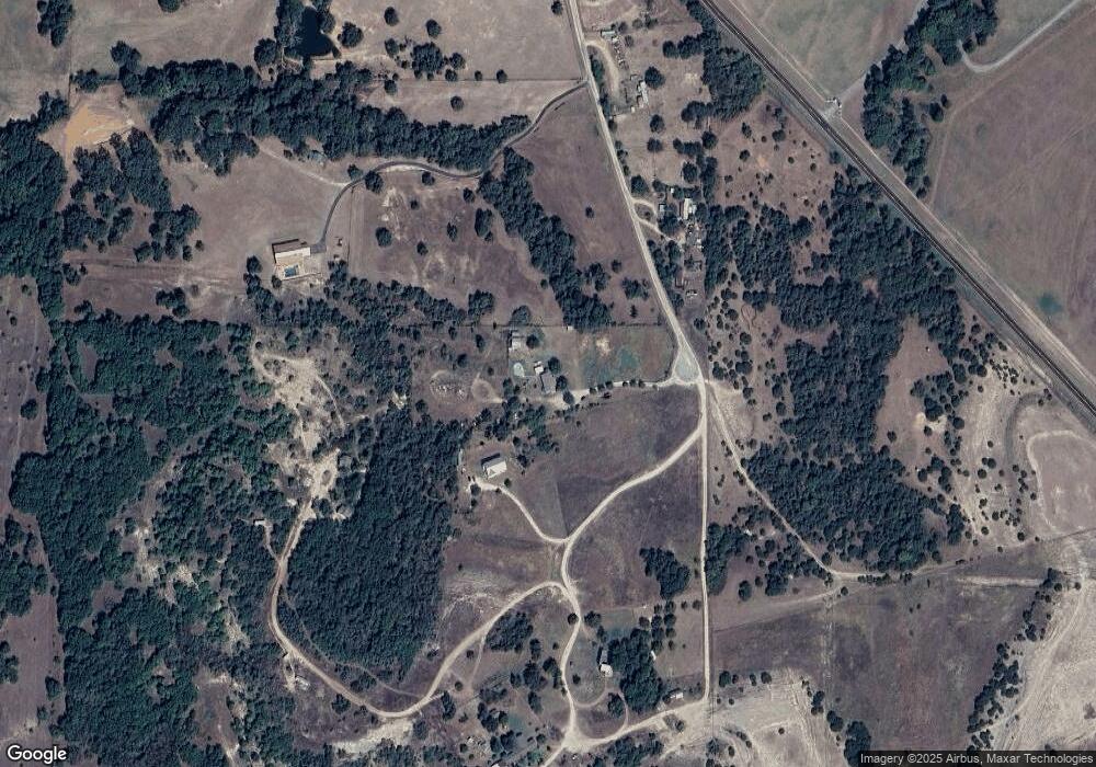
Map
Nearby Homes
- 395 Pepper Ln
- 217 Jefferson Way
- Lot 3 Suade Way
- Lot 8 Suade Way
- Lot 5 Suade Way
- 233 Jefferson Way
- 121 Norene Ln
- TBD Willow Unit 3B
- TBD Willow Unit 3A
- Lot 6 Suade Way
- Lot 7 Suade Way
- 117 Norene Ln
- Lot 2 Suade Way
- 125 Norene Ln
- Lot 1 Way
- Lot 4 Suade Way
- TBD Willow Unit 1
- 1302 Farm To Market Road 1885
- 163 Red Fox Ct
- TBD Mineral Wells Hwy
- 2216 Pepperdine
- 690 E Lone Star Rd
- 003 Ridgmar Dr
- 002 Ridgmar Dr
- 001 Ridgmar Dr
- Lot 2 Zion Hill
- Lt 4 Bruce Crandall Ct
- Lt 34 Tommy Norris Ct
- Lt 4 Tommy Norris Ct
- Lt 22 Mike Thornton Ct
- Lt 52R Doc Ballard Ct
- Lt 38 Tommy Norris Ct
- 05 Turkey Meadow Ln
- 06 Turkey Meadow Ln
- 04 Turkey Meadow Ln
- 07 N Turkey Meadow Ln
- 01 Turkey Meadow Ln
- 03 Turkey Meadow Ln
- tr5 Fm 113
- tr11 N Fm 113