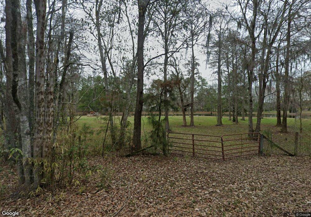
390 S Laurel Cir Bloomingdale, GA 31302
Estimated Value: $277,000 - $340,000
--
Bed
--
Bath
1,131
Sq Ft
$271/Sq Ft
Est. Value
About This Home
This home is located at 390 S Laurel Cir, Bloomingdale, GA 31302 and is currently estimated at $307,028, approximately $271 per square foot. 390 S Laurel Cir is a home with nearby schools including Sand Hill Elementary School, South Effingham Middle School, and South Effingham High School.
Ownership History
Date
Name
Owned For
Owner Type
Purchase Details
Closed on
Dec 29, 2022
Sold by
Green Tammy Yvonne
Bought by
Castro Ramon Jose and Green Tammy Yvonne
Current Estimated Value
Home Financials for this Owner
Home Financials are based on the most recent Mortgage that was taken out on this home.
Original Mortgage
$123,083
Outstanding Balance
$117,349
Interest Rate
6.49%
Mortgage Type
New Conventional
Estimated Equity
$189,679
Purchase Details
Closed on
Sep 13, 2022
Sold by
Moore James F
Bought by
Green Tammy Yvonne
Purchase Details
Closed on
Apr 6, 1984
Bought by
Moore James F
Create a Home Valuation Report for This Property
The Home Valuation Report is an in-depth analysis detailing your home's value as well as a comparison with similar homes in the area
Home Values in the Area
Average Home Value in this Area
Purchase History
| Date | Buyer | Sale Price | Title Company |
|---|---|---|---|
| Castro Ramon Jose | -- | -- | |
| Green Tammy Yvonne | -- | -- | |
| Moore James F | $18,000 | -- |
Source: Public Records
Mortgage History
| Date | Status | Borrower | Loan Amount |
|---|---|---|---|
| Open | Castro Ramon Jose | $123,083 |
Source: Public Records
Tax History Compared to Growth
Tax History
| Year | Tax Paid | Tax Assessment Tax Assessment Total Assessment is a certain percentage of the fair market value that is determined by local assessors to be the total taxable value of land and additions on the property. | Land | Improvement |
|---|---|---|---|---|
| 2024 | $1,761 | $104,560 | $60,018 | $44,542 |
| 2023 | $874 | $92,174 | $60,018 | $32,156 |
| 2022 | $1,368 | $93,303 | $61,147 | $32,156 |
| 2021 | $1,344 | $89,705 | $57,686 | $32,019 |
| 2020 | $1,264 | $86,678 | $56,554 | $30,124 |
| 2019 | $1,275 | $92,962 | $62,838 | $30,124 |
| 2018 | $1,187 | $64,274 | $35,748 | $28,526 |
| 2017 | $1,130 | $64,274 | $35,748 | $28,526 |
| 2016 | $1,077 | $63,974 | $35,748 | $28,227 |
| 2015 | -- | $63,975 | $35,748 | $28,227 |
| 2014 | -- | $63,974 | $35,748 | $28,227 |
| 2013 | -- | $63,974 | $35,747 | $28,226 |
Source: Public Records
Map
Nearby Homes
- 203 Cypress Lakes Dr
- 218 Ridge Rd
- 227 Pebblestone Dr
- 223 Pebblestone Dr
- 100 Sandstone Dr
- 511 Cobblestone Cir
- 612 Ballastone Cir
- 101 Shimmering Dell Dr
- 205 Oak Dr
- 444 Harvey Rd
- 2060 Us Highway 80
- 0 Eight St Unit 326405
- 195 Railroad St
- Tract 2 Williams St
- 225 Oconee Ave
- 119 Concord Dr
- 113 Concord Dr
- 115 Concord Dr
- 117 Concord Dr
- 128 Watson Mill Rd
- 161 Racoon Dr
- 288 S Laurel Cir
- 205 Raccoon Dr
- 205 Raccoon Dr Unit 68
- 205 Raccoon Dr Unit 68
- 205 Raccoon Dr
- 182 Raccoon Dr
- 472 Laurel Cir S
- 204 Racoon Dr
- 119 Cypress St
- 117 Cypress St
- 121 Cypress St
- 204 Raccoon Rd
- 133 Racoon Dr
- 140 Racoon Dr
- S S Laurel Cir
- S S Laurel Cir
- 123 Cypress St
- 115 Cypress Loop
- 115 Cypress St
