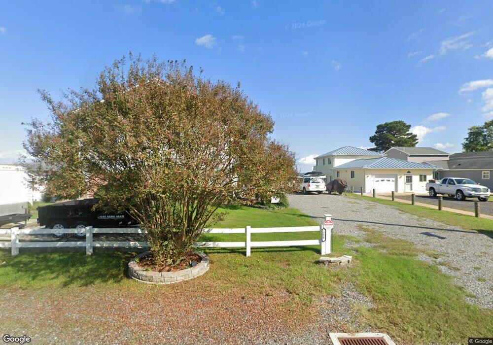
390 Shore Dr Colonial Beach, VA 22443
Estimated Value: $385,000 - $710,686
--
Bed
--
Bath
1,400
Sq Ft
$430/Sq Ft
Est. Value
About This Home
This home is located at 390 Shore Dr, Colonial Beach, VA 22443 and is currently estimated at $601,562, approximately $429 per square foot. 390 Shore Dr is a home located in Westmoreland County with nearby schools including Montross Middle School, Westmoreland High School, and Monroe Bay Christian Academy.
Ownership History
Date
Name
Owned For
Owner Type
Purchase Details
Closed on
Mar 31, 2010
Sold by
Barrack Thomas B
Bought by
Howe Frederic N
Current Estimated Value
Home Financials for this Owner
Home Financials are based on the most recent Mortgage that was taken out on this home.
Original Mortgage
$370,500
Outstanding Balance
$246,031
Interest Rate
4.94%
Mortgage Type
New Conventional
Estimated Equity
$355,531
Create a Home Valuation Report for This Property
The Home Valuation Report is an in-depth analysis detailing your home's value as well as a comparison with similar homes in the area
Home Values in the Area
Average Home Value in this Area
Purchase History
| Date | Buyer | Sale Price | Title Company |
|---|---|---|---|
| Howe Frederic N | $455,000 | -- |
Source: Public Records
Mortgage History
| Date | Status | Borrower | Loan Amount |
|---|---|---|---|
| Open | Howe Frederic N | $370,500 |
Source: Public Records
Tax History Compared to Growth
Tax History
| Year | Tax Paid | Tax Assessment Tax Assessment Total Assessment is a certain percentage of the fair market value that is determined by local assessors to be the total taxable value of land and additions on the property. | Land | Improvement |
|---|---|---|---|---|
| 2024 | $4,525 | $665,400 | $181,000 | $484,400 |
| 2023 | $4,125 | $388,800 | $0 | $388,800 |
| 2022 | $4,125 | $388,800 | $0 | $388,800 |
| 2021 | $4,059 | $534,100 | $181,000 | $353,100 |
| 2020 | $4,059 | $534,100 | $181,000 | $353,100 |
| 2019 | $1,667 | $534,100 | $181,000 | $353,100 |
| 2018 | $3,258 | $534,100 | $181,000 | $353,100 |
| 2017 | -- | $534,100 | $181,000 | $353,100 |
| 2016 | $3,205 | $534,100 | $181,000 | $353,100 |
| 2015 | -- | $541,200 | $181,000 | $360,200 |
| 2014 | -- | $0 | $0 | $0 |
| 2013 | -- | $541,200 | $181,000 | $360,200 |
Source: Public Records
Map
Nearby Homes
- 0 Monroe Dr Unit VAWE2009818
- 222 Shore Dr
- 219 Cedar Ln
- 3 Shore Dr
- 14 Shore Dr
- 0 San Pedro Dr Unit VAWE2008614
- 405 Cedar Ln
- 189 Piney Forest Dr
- 141 Wakefield Dr
- 1224 Shore Dr
- 39 Fort King Dr
- 1252 Shore Dr
- 000 Fort King Dr
- Lot 1A Esmond Ln
- Lot 3 Paynes Point Dr
- Lot 9 Section 10 Sebastian Ave
- 1407 Lossing Ave
- 1212 Lossing Ave
- 122 Sulgrave St
- 314 Lafayette St
- 380 Shore Dr
- 380 Shore Dr
- 410 Shore Dr
- 366 Shore Dr
- 422 Shore Dr
- 356 Shore Dr
- 344 Shore Dr
- 10 Monroe Dr
- 22 Monroe Dr
- 434 Shore Dr
- 401 Shore Dr
- 391 Shore Dr
- 379 Shore Dr
- 332 Shore Dr
- 0 Lot 51 Monroe Point Unit 1007599162
- 0 Lot 50 Monroe Point Unit 1007599078
- 0 Lot 49 Monroe Point Unit 1007594250
- 0 Monroe Dr
- 0 Monroe Dr Unit VAWE2005302
- 0 Lot 51 Monroe Point Unit WE8290016