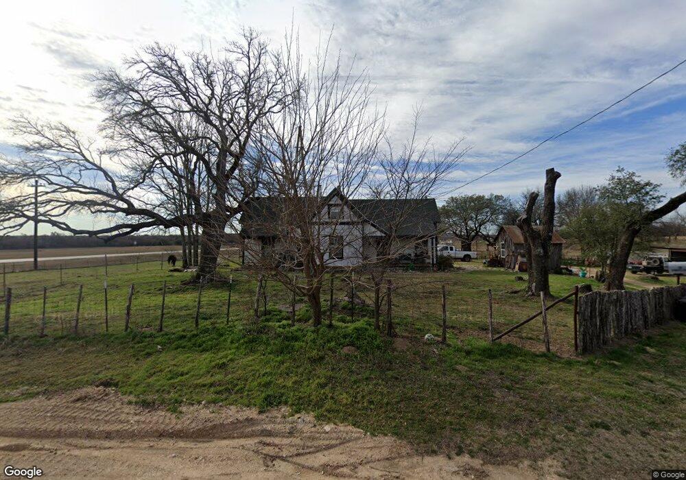
390 Springfield Rd Springtown, TX 76082
Estimated Value: $310,311 - $494,000
Studio
--
Bath
1,764
Sq Ft
$228/Sq Ft
Est. Value
About This Home
This home is located at 390 Springfield Rd, Springtown, TX 76082 and is currently estimated at $402,156, approximately $227 per square foot. 390 Springfield Rd is a home located in Parker County with nearby schools including Springtown Elementary School, Springtown Intermediate School, and Springtown Middle School.
Ownership History
Date
Name
Owned For
Owner Type
Purchase Details
Closed on
Dec 29, 2006
Sold by
Horton Christopher D and Horton Dana M
Bought by
Beckworth Carter Mercer
Current Estimated Value
Home Financials for this Owner
Home Financials are based on the most recent Mortgage that was taken out on this home.
Original Mortgage
$115,000
Outstanding Balance
$68,685
Interest Rate
6.2%
Mortgage Type
New Conventional
Estimated Equity
$333,471
Purchase Details
Closed on
Feb 16, 1996
Bought by
Beckworth Carter M
Purchase Details
Closed on
Jul 16, 1992
Bought by
Beckworth Carter M
Purchase Details
Closed on
Jan 1, 1901
Bought by
Beckworth Carter M
Create a Home Valuation Report for This Property
The Home Valuation Report is an in-depth analysis detailing your home's value as well as a comparison with similar homes in the area
Home Values in the Area
Average Home Value in this Area
Purchase History
| Date | Buyer | Sale Price | Title Company |
|---|---|---|---|
| Beckworth Carter Mercer | -- | Alamo Title | |
| Beckworth Carter M | -- | -- | |
| Beckworth Carter M | -- | -- | |
| Beckworth Carter M | -- | -- |
Source: Public Records
Mortgage History
| Date | Status | Borrower | Loan Amount |
|---|---|---|---|
| Open | Beckworth Carter Mercer | $115,000 |
Source: Public Records
Tax History
| Year | Tax Paid | Tax Assessment Tax Assessment Total Assessment is a certain percentage of the fair market value that is determined by local assessors to be the total taxable value of land and additions on the property. | Land | Improvement |
|---|---|---|---|---|
| 2025 | $1,915 | $203,788 | -- | -- |
| 2024 | $1,915 | $185,262 | -- | -- |
| 2023 | $1,915 | $168,420 | $0 | $0 |
| 2022 | $2,730 | $164,380 | $50,000 | $114,380 |
| 2021 | $2,694 | $164,380 | $50,000 | $114,380 |
| 2020 | $2,441 | $132,150 | $30,000 | $102,150 |
| 2019 | $2,386 | $132,150 | $30,000 | $102,150 |
Source: Public Records
Map
Nearby Homes
- tbd Springfield Rd
- 323 Sage Trail
- Cumberland Plan at Pennsylvania Avenue
- Champlain Plan at Pennsylvania Avenue
- Barnett Plan at Pennsylvania Avenue
- Lassen Plan at Pennsylvania Avenue
- Geneva Plan at Pennsylvania Avenue
- 421 Jameson
- 401 Berryhill Dr
- 1005 Springfield Rd
- 3523 E Highway 199
- 369 Declan St
- 373 Declan St
- 377 Declan St
- Lot 58 Kamden
- Lot 67 Kamden
- Lot 70 Kamden
- Lot 72 Kamden
- Lot 53 Kamden
- Lot 62 & 63 Kamden
- 403 Springfield Rd
- 1555 Walnut Creek Dr
- 411 Springfield Rd
- 1500 Walnut Creek Dr
- 1445 Walnut Creek Dr
- 318 Springfield Rd
- 641 Springfield Rd
- 200 Springfield Rd
- 610 Springfield Rd
- 650 Springfield Rd
- 660 Springfield Rd
- 325 Sage Trail
- 401 Sage Trail
- 321 Sage Trail
- 751 Springfield Rd
- 313 Sage Trail
- 309 Sage Trail
- 710 Springfield Rd
- 417 Sage Trail
- 413 Jameson