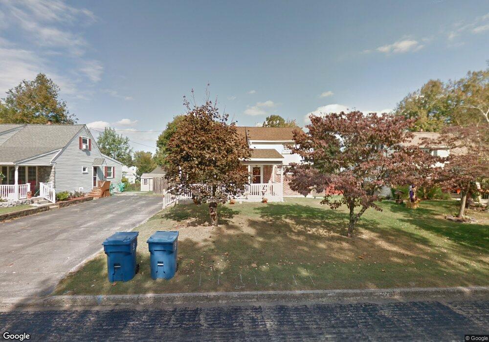
390 Stonybrook Rd King of Prussia, PA 19406
Estimated Value: $411,000 - $434,246
4
Beds
2
Baths
1,400
Sq Ft
$302/Sq Ft
Est. Value
About This Home
This home is located at 390 Stonybrook Rd, King of Prussia, PA 19406 and is currently estimated at $423,312, approximately $302 per square foot. 390 Stonybrook Rd is a home located in Montgomery County with nearby schools including Candlebrook Elementary School, Upper Merion Middle School, and Upper Merion High School.
Ownership History
Date
Name
Owned For
Owner Type
Purchase Details
Closed on
May 30, 2006
Sold by
Cwienk Douglas S and Conolly Deborah C
Bought by
Jimenez Carmen A and Jimenez Lena M
Current Estimated Value
Home Financials for this Owner
Home Financials are based on the most recent Mortgage that was taken out on this home.
Original Mortgage
$173,650
Outstanding Balance
$102,377
Interest Rate
6.62%
Estimated Equity
$320,935
Purchase Details
Closed on
Dec 20, 1999
Sold by
Cwienk Edythe M
Bought by
Conolly Deborah C and Cwienk Douglas S
Create a Home Valuation Report for This Property
The Home Valuation Report is an in-depth analysis detailing your home's value as well as a comparison with similar homes in the area
Home Values in the Area
Average Home Value in this Area
Purchase History
| Date | Buyer | Sale Price | Title Company |
|---|---|---|---|
| Jimenez Carmen A | $263,650 | T A Title Insurance Co | |
| Conolly Deborah C | -- | -- |
Source: Public Records
Mortgage History
| Date | Status | Borrower | Loan Amount |
|---|---|---|---|
| Open | Jimenez Carmen A | $173,650 |
Source: Public Records
Tax History Compared to Growth
Tax History
| Year | Tax Paid | Tax Assessment Tax Assessment Total Assessment is a certain percentage of the fair market value that is determined by local assessors to be the total taxable value of land and additions on the property. | Land | Improvement |
|---|---|---|---|---|
| 2025 | $3,734 | $121,200 | -- | -- |
| 2024 | $3,734 | $121,200 | -- | -- |
| 2023 | $3,603 | $121,200 | $0 | $0 |
| 2022 | $3,449 | $121,200 | $0 | $0 |
| 2021 | $3,342 | $121,200 | $0 | $0 |
| 2020 | $3,193 | $121,200 | $0 | $0 |
| 2019 | $3,139 | $121,200 | $0 | $0 |
| 2018 | $3,139 | $121,200 | $0 | $0 |
| 2017 | $3,026 | $121,200 | $0 | $0 |
| 2016 | $2,979 | $121,200 | $0 | $0 |
| 2015 | $2,869 | $121,200 | $0 | $0 |
| 2014 | $2,869 | $121,200 | $0 | $0 |
Source: Public Records
Map
Nearby Homes
- 391 Prince Frederick St
- 227 Crossfield Rd
- 413 Brandywine Ln
- 245 Chapel Ln Unit 80B
- 251 Chapel Ln Unit 83B
- 243 Chapel Ln Unit 79A
- 501 W Dekalb Pike
- 612 Brewster Alley Unit 74
- 610 Charles Dr
- 422 Bluebuff Rd
- 108 Anderson Rd
- 191 Gunport Rd
- 338 Rees Dr
- 407 Chestnut Way
- 545 Kingwood Rd
- 112 Ivy Ln
- 104 Tyler Rd
- 243 Jasper Rd
- 313 Aspen Way Unit HS 164- BRENTFORD
- 315 Aspen Way Unit HS 163- CARISBROOKE
- 394 Stonybrook Rd
- 384 Stonybrook Rd
- 349 Crossfield Rd
- 398 Stonybrook Rd
- 380 Stonybrook Rd
- 355 Crossfield Rd
- 359 Crossfield Rd
- 351 Crossfield Rd
- 398 Heritage Ln
- 363 Crossfield Rd
- 399 Heritage Ln
- 345 Crossfield Rd
- 339 Prince Frederick St
- 381 Stonybrook Rd
- 367 Crossfield Rd
- 396 Heritage Ln
- 375 Stonybrook Rd
- 397 Heritage Ln
- 371 Crossfield Rd
- 348 Crossfield Rd