390 W Barnhart Rd Coldwater, MI 49036
Estimated Value: $185,000 - $306,648
4
Beds
2
Baths
3,437
Sq Ft
$71/Sq Ft
Est. Value
About This Home
This home is located at 390 W Barnhart Rd, Coldwater, MI 49036 and is currently estimated at $244,412, approximately $71 per square foot. 390 W Barnhart Rd is a home located in Branch County with nearby schools including Union City Elementary School, Union City Middle School, and Union City High School.
Ownership History
Date
Name
Owned For
Owner Type
Purchase Details
Closed on
Jan 24, 2011
Sold by
Shepard Michael J and Shepard Rochelle
Bought by
Gautsche Clint and Gautsche Jennifer
Current Estimated Value
Purchase Details
Closed on
Dec 9, 2010
Sold by
Shepard Michael J and Shepard Rochelle
Bought by
Gautsche Clint and Gautsche Jennifer
Purchase Details
Closed on
Dec 14, 2005
Sold by
Kral Robert
Bought by
Shepard Michael J and Shepard Rochelle
Home Financials for this Owner
Home Financials are based on the most recent Mortgage that was taken out on this home.
Original Mortgage
$113,600
Interest Rate
6.75%
Mortgage Type
Fannie Mae Freddie Mac
Purchase Details
Closed on
Oct 17, 2005
Sold by
Estate Of Joseph S Kral and Kral Frieda
Bought by
Kral Robert
Home Financials for this Owner
Home Financials are based on the most recent Mortgage that was taken out on this home.
Original Mortgage
$113,600
Interest Rate
6.75%
Mortgage Type
Fannie Mae Freddie Mac
Purchase Details
Closed on
Jan 27, 1995
Bought by
Kral Joseph S and Kral Frieda
Create a Home Valuation Report for This Property
The Home Valuation Report is an in-depth analysis detailing your home's value as well as a comparison with similar homes in the area
Home Values in the Area
Average Home Value in this Area
Purchase History
| Date | Buyer | Sale Price | Title Company |
|---|---|---|---|
| Gautsche Clint | $500 | None Available | |
| Gautsche Clint | $61,282 | None Available | |
| Shepard Michael J | $97,500 | Branch County Abstract & Tit | |
| Kral Robert | -- | None Available | |
| Kral Joseph S | $34,000 | -- |
Source: Public Records
Mortgage History
| Date | Status | Borrower | Loan Amount |
|---|---|---|---|
| Previous Owner | Shepard Michael J | $113,600 |
Source: Public Records
Tax History Compared to Growth
Tax History
| Year | Tax Paid | Tax Assessment Tax Assessment Total Assessment is a certain percentage of the fair market value that is determined by local assessors to be the total taxable value of land and additions on the property. | Land | Improvement |
|---|---|---|---|---|
| 2025 | $1,940 | $151,680 | $0 | $0 |
| 2024 | $684 | $141,860 | $0 | $0 |
| 2023 | $622 | $134,140 | $0 | $0 |
| 2022 | $622 | $120,800 | $0 | $0 |
| 2021 | -- | $78,300 | $0 | $0 |
| 2020 | -- | $76,300 | $0 | $0 |
| 2019 | -- | $69,600 | $0 | $0 |
| 2018 | -- | $70,100 | $0 | $0 |
| 2017 | -- | $66,300 | $0 | $0 |
| 2016 | -- | $62,690 | $0 | $0 |
| 2015 | -- | $54,240 | $0 | $0 |
| 2014 | -- | $51,500 | $0 | $0 |
| 2013 | -- | $50,670 | $0 | $0 |
Source: Public Records
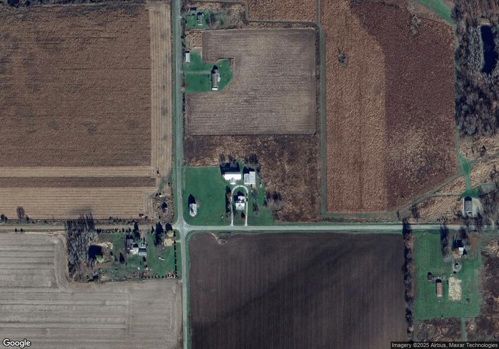
Map
Nearby Homes
- 263 Sullivan Rd
- 555 Claar Rd
- 939 Adolph Rd
- 262+2 Creek Rd
- 0 Wheeler Rd Unit 25050944
- 1006 Adolph Rd
- 317 W Colon Rd
- 141 W Union City Rd
- 951 Olds Rd
- 667 River Rd
- 234 Lyn Brook Dr
- 107 W Girard Rd
- 245 Lynbrook Dr
- 219 Adolph Shores Rd
- 566 Angler Ave Unit 11
- 217 S Moor Dr Unit 7
- 787 Doves Landing
- 414 River Rd
- 198 W Chicago Rd
- 171 W Chicago Rd
- 405 W Barnhart Rd
- 715 N Snowprairie Rd
- 723 N Snowprairie Rd
- 627 N Snow Prairie Rd
- 731 N Snowprairie Rd
- 731 N Snow Prairie Rd
- 743 N Snowprairie Rd
- 0 N Snow Prairie Rd
- 730 N Snowprairie Rd
- 340 W Barnhart Rd
- 324 W Barnhart Rd
- 320 W Barnhart Rd
- 774 N Snowprairie Rd
- 630 N Snow Prairie Rd
- W Barnhart Rd
- 311 W Barnhart Rd
- 0 Francisco Rd Unit 62022008724
- 0 Francisco Rd Unit 22008724
- 0 V/L Francisco Rd
- 614 N Snow Prairie Rd