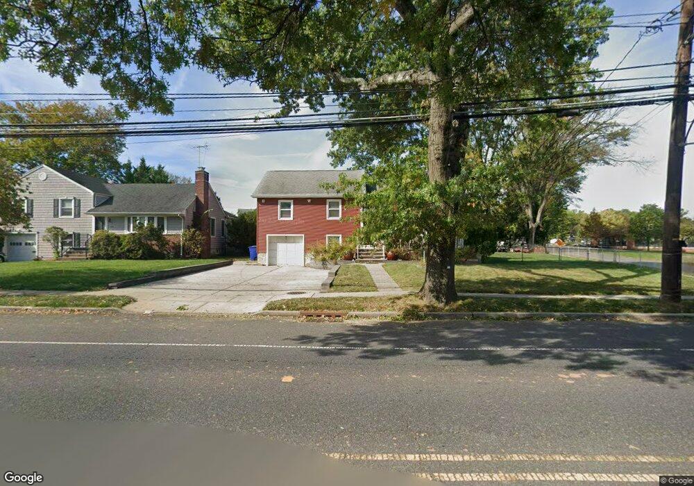
390 Walnut Ave Cranford, NJ 07016
Estimated Value: $652,049 - $1,022,000
--
Bed
--
Bath
--
Sq Ft
10,759
Sq Ft Lot
About This Home
This home is located at 390 Walnut Ave, Cranford, NJ 07016 and is currently estimated at $853,012. 390 Walnut Ave is a home located in Union County with nearby schools including Cranford Sr High School and St Michael School.
Ownership History
Date
Name
Owned For
Owner Type
Purchase Details
Closed on
May 1, 2018
Sold by
Teixeira Antonio L and Estate Of Emilla Teixeira
Bought by
Milan Marla Susan
Current Estimated Value
Home Financials for this Owner
Home Financials are based on the most recent Mortgage that was taken out on this home.
Original Mortgage
$75,000
Outstanding Balance
$23,398
Interest Rate
4.5%
Mortgage Type
Purchase Money Mortgage
Estimated Equity
$829,614
Purchase Details
Closed on
Mar 13, 1991
Bought by
Teixeira and Emilia L
Create a Home Valuation Report for This Property
The Home Valuation Report is an in-depth analysis detailing your home's value as well as a comparison with similar homes in the area
Home Values in the Area
Average Home Value in this Area
Purchase History
| Date | Buyer | Sale Price | Title Company |
|---|---|---|---|
| Milan Marla Susan | -- | None Available | |
| Teixeira | $150,000 | -- |
Source: Public Records
Mortgage History
| Date | Status | Borrower | Loan Amount |
|---|---|---|---|
| Open | Milan Marla Susan | $75,000 |
Source: Public Records
Tax History Compared to Growth
Tax History
| Year | Tax Paid | Tax Assessment Tax Assessment Total Assessment is a certain percentage of the fair market value that is determined by local assessors to be the total taxable value of land and additions on the property. | Land | Improvement |
|---|---|---|---|---|
| 2025 | $12,067 | $178,000 | $80,200 | $97,800 |
| 2024 | $11,867 | $178,000 | $80,200 | $97,800 |
| 2023 | $11,867 | $178,000 | $80,200 | $97,800 |
| 2022 | $11,769 | $178,000 | $80,200 | $97,800 |
| 2021 | $11,718 | $178,000 | $80,200 | $97,800 |
| 2020 | $11,680 | $178,000 | $80,200 | $97,800 |
| 2019 | $11,606 | $178,000 | $80,200 | $97,800 |
| 2018 | $11,396 | $178,000 | $80,200 | $97,800 |
| 2017 | $11,004 | $178,000 | $80,200 | $97,800 |
| 2016 | $10,603 | $178,000 | $80,200 | $97,800 |
| 2015 | $10,326 | $178,000 | $80,200 | $97,800 |
| 2014 | $10,114 | $178,000 | $80,200 | $97,800 |
Source: Public Records
Map
Nearby Homes
- 2 Pine St
- 10 Alan O Kell Place
- 11 Mendell Ave
- 113 Retford Ave
- 247 Walnut Ave
- 37 Broad St
- 166 N Lehigh Ave
- 45 Hillcrest Ave
- 1 Broad St
- 211 High St
- 155 Hillcrest Ave
- 24 Oneida Place
- 108 James Ave
- 7 Iroquois Rd
- 5 Iroquois Rd
- 383 Lincoln Ave E
- 219 Centennial Ave Unit B
- 29 Coldevin Rd
- 98 Winans Ave
- 1619 Raritan Rd