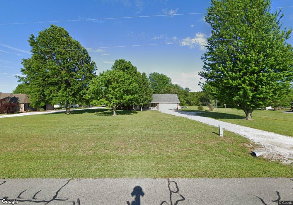
390 Wpa Rd Gentry, AR 72734
Estimated Value: $295,290 - $342,000
Studio
2
Baths
1,672
Sq Ft
$191/Sq Ft
Est. Value
About This Home
This home is located at 390 Wpa Rd, Gentry, AR 72734 and is currently estimated at $320,073, approximately $191 per square foot. 390 Wpa Rd is a home located in Benton County with nearby schools including Gentry Intermediate School, Gentry Primary School, and Gentry Middle School.
Ownership History
Date
Name
Owned For
Owner Type
Purchase Details
Closed on
Dec 2, 2025
Sold by
James And Phyllis Berry Trust and Berry James W
Bought by
Milligan Loyce
Current Estimated Value
Purchase Details
Closed on
Sep 7, 2021
Sold by
Milligan Loyce
Bought by
Berry Phyllis and Berry James
Purchase Details
Closed on
Aug 30, 2018
Sold by
Terry Douglas and Terry Lois
Bought by
Milligan George and Milligan Loyce
Home Financials for this Owner
Home Financials are based on the most recent Mortgage that was taken out on this home.
Original Mortgage
$144,000
Interest Rate
4.5%
Mortgage Type
New Conventional
Purchase Details
Closed on
May 14, 1997
Bought by
Terry Terry 1 and Terry 08Ac
Create a Home Valuation Report for This Property
The Home Valuation Report is an in-depth analysis detailing your home's value as well as a comparison with similar homes in the area
Home Values in the Area
Average Home Value in this Area
Purchase History
| Date | Buyer | Sale Price | Title Company |
|---|---|---|---|
| Milligan Loyce | -- | None Listed On Document | |
| Berry Phyllis | -- | None Listed On Document | |
| Milligan George | $160,000 | Title Source Inc | |
| Terry Terry 1 | $13,000 | -- |
Source: Public Records
Mortgage History
| Date | Status | Borrower | Loan Amount |
|---|---|---|---|
| Previous Owner | Milligan George | $144,000 |
Source: Public Records
Tax History
| Year | Tax Paid | Tax Assessment Tax Assessment Total Assessment is a certain percentage of the fair market value that is determined by local assessors to be the total taxable value of land and additions on the property. | Land | Improvement |
|---|---|---|---|---|
| 2025 | $1,989 | $57,341 | $7,560 | $49,781 |
| 2024 | $1,781 | $57,341 | $7,560 | $49,781 |
| 2023 | $1,619 | $37,000 | $5,400 | $31,600 |
| 2022 | $1,578 | $37,000 | $5,400 | $31,600 |
| 2021 | $1,056 | $37,000 | $5,400 | $31,600 |
| 2020 | $1,057 | $26,970 | $1,940 | $25,030 |
| 2019 | $959 | $25,130 | $1,940 | $23,190 |
| 2018 | $643 | $25,130 | $1,940 | $23,190 |
| 2017 | $643 | $25,130 | $1,940 | $23,190 |
| 2016 | $643 | $25,130 | $1,940 | $23,190 |
| 2015 | $935 | $21,060 | $1,300 | $19,760 |
| 2014 | $585 | $21,060 | $1,300 | $19,760 |
Source: Public Records
Map
Nearby Homes
- 204 Whitten Ave
- 1704 Pittman St
- 1724 Pittman St
- 1716 Pittman St
- 1708 Pittman St
- 1712 Pittman St
- 1720 Pittman St
- 1705 Pittman St
- 200 Post Oak Ave
- 1713 Pittman St
- 1709 Pittman St
- 1721 Pittman St
- 1717 Pittman St
- 1725 Pittman St
- 208 Whitten Ave
- 300 Post Oak Ave
- 305 Pin Oak St
- 304 White Oak St
- 308 White Oak St
- 11013 Wpa Rd
Your Personal Tour Guide
Ask me questions while you tour the home.