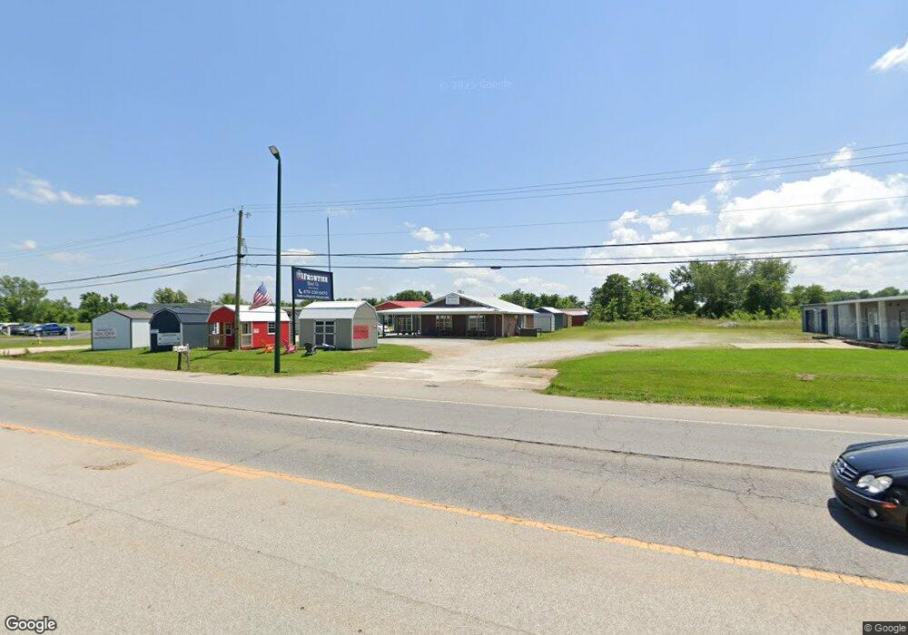
3900 Highway 412 E Siloam Springs, AR 72761
--
Bed
--
Bath
1,500
Sq Ft
2.5
Acres
About This Home
This home is located at 3900 Highway 412 E, Siloam Springs, AR 72761. 3900 Highway 412 E is a home located in Benton County with nearby schools including Northside Elementary School, Southside Elementary School, and Delbert Pete & Pat Allen Elementary School.
Ownership History
Date
Name
Owned For
Owner Type
Purchase Details
Closed on
Jul 8, 2024
Sold by
Commissioner Of State Lands
Bought by
Richardson Denise and Roberts Deidre
Purchase Details
Closed on
Oct 19, 2020
Sold by
Commissioner Of State Lands
Bought by
Richardson Denise and Roberts Deidre
Purchase Details
Closed on
May 11, 2004
Bought by
Richardson and Roberts
Purchase Details
Closed on
Nov 20, 2003
Bought by
Dykes
Purchase Details
Closed on
Jan 19, 2001
Bought by
Dykes Tr
Purchase Details
Closed on
Jan 9, 2001
Bought by
Dykes Tr
Purchase Details
Closed on
Apr 30, 1996
Bought by
Chaney
Purchase Details
Closed on
Feb 4, 1993
Bought by
Foster
Create a Home Valuation Report for This Property
The Home Valuation Report is an in-depth analysis detailing your home's value as well as a comparison with similar homes in the area
Home Values in the Area
Average Home Value in this Area
Purchase History
| Date | Buyer | Sale Price | Title Company |
|---|---|---|---|
| Richardson Denise | $36,223 | None Listed On Document | |
| Richardson Denise | $20,997 | None Listed On Document | |
| Richardson | -- | -- | |
| Dykes | -- | -- | |
| Dykes Tr | -- | -- | |
| Dykes Tr | $200,000 | -- | |
| Chaney | $160,000 | -- | |
| Foster | $36,500 | -- |
Source: Public Records
Tax History Compared to Growth
Tax History
| Year | Tax Paid | Tax Assessment Tax Assessment Total Assessment is a certain percentage of the fair market value that is determined by local assessors to be the total taxable value of land and additions on the property. | Land | Improvement |
|---|---|---|---|---|
| 2025 | $8,703 | $189,502 | $169,990 | $19,512 |
| 2024 | $8,188 | $189,502 | $169,990 | $19,512 |
| 2023 | $7,444 | $129,240 | $112,490 | $16,750 |
| 2022 | $7,438 | $129,240 | $112,490 | $16,750 |
| 2021 | $7,233 | $129,240 | $112,490 | $16,750 |
| 2020 | $6,597 | $114,530 | $98,010 | $16,520 |
| 2019 | $6,288 | $114,530 | $98,010 | $16,520 |
| 2018 | $5,839 | $114,530 | $98,010 | $16,520 |
| 2017 | $4,940 | $114,530 | $98,010 | $16,520 |
| 2016 | $4,940 | $114,530 | $98,010 | $16,520 |
| 2015 | $4,491 | $77,970 | $65,340 | $12,630 |
| 2014 | $4,491 | $77,970 | $65,340 | $12,630 |
Source: Public Records
Map
Nearby Homes
- 820 S Parrot Ln
- 813 S Katlyn Dr
- 824 S Parrot Ln
- 829 S Katlyn Dr
- 3217 E Hagen St
- 2899 Dawn Ct Unit A & B
- 920 S Canvasback Dr
- 1729-4 Plan at
- 4108 E Razorbill Dr
- 3251 E Kenwood St
- 925 S Canvasback Dr
- 0 Progress Ave
- RC Wright Plan at Fox Tail
- RC Baltimore Plan at Fox Tail
- RC Magnolia Plan at Fox Tail
- RC Cypress Plan at Fox Tail
- RC Keswick Plan at Fox Tail
- RC Ridgeland Plan at Fox Tail
- RC Mitchell Plan at Fox Tail
- RC Foster II Plan at Fox Tail
- 3900 U S 412
- 3892 U S 412
- 3890 Highway 412 E
- 3890 U S 412
- 3930 B E Hwy 412
- 3924 U S 412
- 3926 E Hwy 412
- 3930 E Hwy 412
- 3897 Thomas St
- 3893 Thomas St
- 3948 U S 412
- 3864 U S 412
- TBD Highway 412
- 3861 Highway 412 E
- 3860 Highway 412 E Unit D
- 3860 Highway 412 E
- 3860
- 412 Hook Dr
- 3860 U S 412
- 3860 U S 412 Unit B