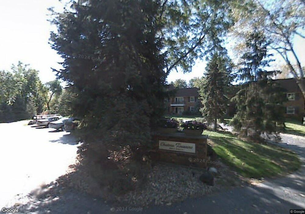
3900 N Stable Ct Unit 112 Peoria, IL 61614
North Peoria NeighborhoodEstimated Value: $130,000 - $173,000
3
Beds
3
Baths
1,386
Sq Ft
$111/Sq Ft
Est. Value
About This Home
This home is located at 3900 N Stable Ct Unit 112, Peoria, IL 61614 and is currently estimated at $153,228, approximately $110 per square foot. 3900 N Stable Ct Unit 112 is a home located in Peoria County with nearby schools including Dr. C. T. Vivian Primary School, Rolling Acres Middle School, and Peoria High School.
Ownership History
Date
Name
Owned For
Owner Type
Purchase Details
Closed on
Aug 12, 2015
Sold by
Wemple Josephine C Trust
Bought by
Biggs Kathleen A Trust 10 & 17 & 1996 and Biggs Kathleen A
Current Estimated Value
Purchase Details
Closed on
Aug 3, 2015
Sold by
Wemple Josephine C Trust
Bought by
Biggs Kathleen A Trust 10 & 17 & 1996 and Biggs Kathleen A
Purchase Details
Closed on
Nov 13, 2009
Bought by
Biggs Kathleen A
Create a Home Valuation Report for This Property
The Home Valuation Report is an in-depth analysis detailing your home's value as well as a comparison with similar homes in the area
Home Values in the Area
Average Home Value in this Area
Purchase History
| Date | Buyer | Sale Price | Title Company |
|---|---|---|---|
| Biggs Kathleen A Trust 10 & 17 & 1996 | -- | Attorney Only | |
| Biggs Kathleen A Trust 10 & 17 & 1996 | -- | Attorney Only | |
| Biggs Kathleen A | $125,000 | -- |
Source: Public Records
Tax History Compared to Growth
Tax History
| Year | Tax Paid | Tax Assessment Tax Assessment Total Assessment is a certain percentage of the fair market value that is determined by local assessors to be the total taxable value of land and additions on the property. | Land | Improvement |
|---|---|---|---|---|
| 2024 | $3,367 | $48,220 | $4,760 | $43,460 |
| 2023 | $3,127 | $44,240 | $4,370 | $39,870 |
| 2022 | $3,095 | $43,090 | $4,340 | $38,750 |
| 2021 | $2,985 | $41,030 | $4,130 | $36,900 |
| 2020 | $2,968 | $40,620 | $4,090 | $36,530 |
| 2019 | $3,034 | $41,450 | $4,170 | $37,280 |
| 2018 | $3,005 | $41,860 | $4,210 | $37,650 |
| 2017 | $2,993 | $42,280 | $4,250 | $38,030 |
| 2016 | $2,911 | $42,280 | $4,250 | $38,030 |
| 2015 | $3,588 | $41,450 | $4,170 | $37,280 |
| 2014 | $3,595 | $44,980 | $4,150 | $40,830 |
| 2013 | -- | $45,530 | $4,200 | $41,330 |
Source: Public Records
Map
Nearby Homes
- 4023 N University St
- 1413 W Aire Ave
- 1213 W Northcrest Ave
- 1123 W Purtscher Dr
- 817 W Ridge Rd
- 821 W Purtscher Dr
- 3720 N Saint Michael Ave
- 3121 N Isabell Ave
- 2046 W Wilson Ave
- 2050 W Wilson Ave
- 1412 W Forrest Hill Ave
- 2036 W Richwoods Blvd
- 3520 N Finnell Ave
- 656 W Knoll Crest Dr
- 3026 N Parish Ave
- 1011 W Forrest Hill Ave
- 3220 N Gale Ave
- 3129 N Finnell Ave
- 3203 N Biltmore Ave
- 502 W Crestwood Dr
- 3900 N Stable Ct
- 3900 N Stable Ct Unit 103
- 3900 N Stable Ct Unit 105
- 3900 N Stable Ct Unit 212
- 3900 N Stable Ct Unit 211
- 3900 N Stable Ct Unit 210
- 3900 N Stable Ct Unit 209
- 3900 N Stable Ct Unit 208
- 3900 N Stable Ct Unit 207
- 3900 N Stable Ct Unit 206
- 3900 N Stable Ct Unit 205
- 3900 N Stable Ct Unit 204
- 3900 N Stable Ct Unit 203
- 3900 N Stable Ct Unit 202
- 3900 N Stable Ct Unit 201
- 3900 N Stable Ct Unit 111
- 3900 N Stable Ct Unit 110
- 3900 N Stable Ct Unit 109
- 3900 N Stable Ct Unit 108
- 3900 N Stable Ct Unit 107