Estimated Value: $352,676 - $370,000
3
Beds
2
Baths
1,683
Sq Ft
$217/Sq Ft
Est. Value
About This Home
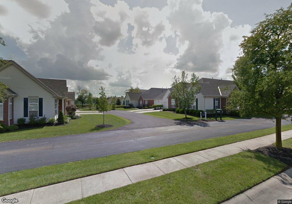
This home is located at 3901 Brantford Way, Mason, OH 45040 and is currently estimated at $364,919, approximately $216 per square foot. 3901 Brantford Way is a home located in Warren County with nearby schools including Mason Intermediate Elementary School, Mason Middle School, and William Mason High School.
Ownership History
Date
Name
Owned For
Owner Type
Purchase Details
Closed on
Mar 7, 2023
Sold by
Speer Deborah Deckman
Bought by
Speer Family Trust and Speer
Current Estimated Value
Purchase Details
Closed on
Oct 2, 2010
Sold by
Deckman Thomas E and Deckman Charlotte C
Bought by
Deckman Charlotte C
Purchase Details
Closed on
Sep 6, 2001
Sold by
Barrington Inc
Bought by
Deckman Thomas E and Deckman Charlotte
Create a Home Valuation Report for This Property
The Home Valuation Report is an in-depth analysis detailing your home's value as well as a comparison with similar homes in the area
Home Values in the Area
Average Home Value in this Area
Purchase History
| Date | Buyer | Sale Price | Title Company |
|---|---|---|---|
| Speer Family Trust | -- | None Listed On Document | |
| Speer Deborah Deckman | -- | None Listed On Document | |
| Deckman Charlotte C | -- | Attorney | |
| Deckman Thomas E | $174,481 | -- |
Source: Public Records
Tax History Compared to Growth
Tax History
| Year | Tax Paid | Tax Assessment Tax Assessment Total Assessment is a certain percentage of the fair market value that is determined by local assessors to be the total taxable value of land and additions on the property. | Land | Improvement |
|---|---|---|---|---|
| 2024 | $4,292 | $103,300 | $29,750 | $73,550 |
| 2023 | $3,286 | $77,154 | $14,455 | $62,699 |
| 2022 | $3,244 | $77,154 | $14,455 | $62,699 |
| 2021 | $3,073 | $77,154 | $14,455 | $62,699 |
| 2020 | $2,967 | $65,384 | $12,250 | $53,134 |
| 2019 | $2,728 | $65,384 | $12,250 | $53,134 |
| 2018 | $2,737 | $65,384 | $12,250 | $53,134 |
| 2017 | $2,338 | $53,911 | $10,266 | $43,645 |
| 2016 | $2,409 | $53,911 | $10,266 | $43,645 |
| 2015 | $2,414 | $53,911 | $10,266 | $43,645 |
| 2014 | $2,441 | $51,340 | $9,780 | $41,570 |
| 2013 | $2,446 | $64,340 | $12,250 | $52,090 |
Source: Public Records
Map
Nearby Homes
- 4087 Fieldsedge Dr Unit 285E
- 4154 Fieldsedge Dr
- 6668 Pondfield Ln
- 6309 Inverness Way
- 6416 Inverness Way
- 6415 Eagleview Dr
- 6441 Eagleview Dr
- 6486 Prestwick Ct
- 4109 Old Manchester Ct
- 6572 Eagle View Dr
- 6674 Villager Place Unit 153D
- 6521 Grand Cypress Way
- 3900 St Andrews Ct
- 6394 Grand Cypress Way
- 6534 Turtle Point Place
- 711 Eagle View Ct
- 6550 Villagefield Dr
- 5799 Fairway Dr
- 4427 Towneside Ct
- 6545 Farmbrooke Ct
- 3905 Brantford Way Unit B3905
- 3905 Brantford Way Unit 1
- 3907 Brantford Way Unit B3907
- 3907 Brantford Way Unit 1
- 3877 Brantford Way
- 3879 Brantford Way
- 3879 Brantford Way Unit 1
- 3873 Brantford Way
- 3875 Brantford Way
- 3917 Sandtrap Cir Unit 3917
- 3849 Brantford Way
- 3921 Sandtrap Cir
- 3895 Sandtrap Cir
- 3851 Brantford Way Unit B3851
- 3891 Sandtrap Cir
- 3943 Sandtrap Cir
- 3845 Brantford Way Unit B3845
- 3847 Brantford Way Unit 3847B
- 3947 Sandtrap Cir Unit 3947
- 3919 Sandtrap Cir Unit 3919