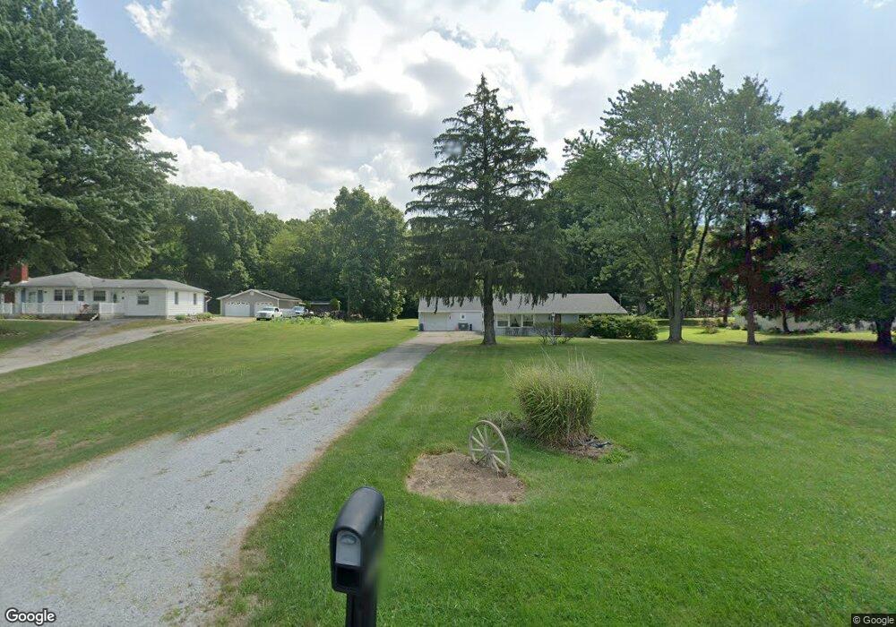
3902 Bosart Rd Springfield, OH 45503
Estimated Value: $204,000 - $237,000
3
Beds
1
Bath
1,132
Sq Ft
$196/Sq Ft
Est. Value
About This Home
This home is located at 3902 Bosart Rd, Springfield, OH 45503 and is currently estimated at $221,483, approximately $195 per square foot. 3902 Bosart Rd is a home located in Clark County with nearby schools including Northridge Elementary School, Kenton Ridge Middle & High School, and Emmanuel Christian Academy.
Ownership History
Date
Name
Owned For
Owner Type
Purchase Details
Closed on
Dec 15, 2012
Sold by
Moore Ryan K and Moore Suann Moore
Bought by
Moore Ryan K and Moore Suann Moore
Current Estimated Value
Home Financials for this Owner
Home Financials are based on the most recent Mortgage that was taken out on this home.
Original Mortgage
$140,316
Outstanding Balance
$95,894
Interest Rate
3.31%
Mortgage Type
FHA
Estimated Equity
$125,589
Purchase Details
Closed on
Aug 13, 2004
Sold by
Fannie Mae
Bought by
Moore Ryan K and Moore Suann
Home Financials for this Owner
Home Financials are based on the most recent Mortgage that was taken out on this home.
Original Mortgage
$98,900
Interest Rate
6.08%
Mortgage Type
Purchase Money Mortgage
Purchase Details
Closed on
Oct 20, 2003
Sold by
Mcevoy Thomas P
Bought by
Federal National Mortgage Association
Create a Home Valuation Report for This Property
The Home Valuation Report is an in-depth analysis detailing your home's value as well as a comparison with similar homes in the area
Home Values in the Area
Average Home Value in this Area
Purchase History
| Date | Buyer | Sale Price | Title Company |
|---|---|---|---|
| Moore Ryan K | -- | None Available | |
| Moore Ryan K | $98,900 | Title First Agency Inc | |
| Federal National Mortgage Association | $85,000 | -- |
Source: Public Records
Mortgage History
| Date | Status | Borrower | Loan Amount |
|---|---|---|---|
| Open | Moore Ryan K | $140,316 | |
| Closed | Moore Ryan K | $98,900 |
Source: Public Records
Tax History
| Year | Tax Paid | Tax Assessment Tax Assessment Total Assessment is a certain percentage of the fair market value that is determined by local assessors to be the total taxable value of land and additions on the property. | Land | Improvement |
|---|---|---|---|---|
| 2025 | $2,381 | $75,640 | $16,050 | $59,590 |
| 2024 | $2,305 | $53,290 | $13,340 | $39,950 |
| 2023 | $2,305 | $53,290 | $13,340 | $39,950 |
| 2022 | $2,313 | $53,290 | $13,340 | $39,950 |
| 2021 | $2,465 | $48,110 | $11,030 | $37,080 |
| 2020 | $2,467 | $48,110 | $11,030 | $37,080 |
| 2019 | $2,514 | $48,110 | $11,030 | $37,080 |
| 2018 | $2,120 | $38,920 | $10,140 | $28,780 |
| 2017 | $1,824 | $43,117 | $10,143 | $32,974 |
| 2016 | $1,757 | $41,881 | $10,143 | $31,738 |
| 2015 | $1,960 | $42,763 | $11,025 | $31,738 |
| 2014 | $1,959 | $42,763 | $11,025 | $31,738 |
| 2013 | $1,915 | $42,763 | $11,025 | $31,738 |
Source: Public Records
Map
Nearby Homes
- 4028 Ryland Dr Unit 4028
- 3969 Covington Dr Unit 3969
- 4500 Bosart Rd
- 1831 Pinehurst Dr Unit 37
- 1711 Pinehurst Dr
- 3126 Lakeview Ct Unit 3126
- 1507 Kingsgate Rd
- 1505 Kingsgate Rd
- 1503 Kingsgate Rd
- 1500 Kingsgate Rd
- 1502 Kingsgate Rd
- 1500 Kingsgate Rd Unit 19430
- 1502 Kingsgate Rd Unit 19432
- 1509 Kingsgate Rd
- 3631 Kingsgate Ln
- 4652 Reno Ln Unit 15
- 4446 Ridgewood Rd E Unit 3
- 4256 Midfield St Unit 9
- 2193 Amarillo Ave
- 2861 Ashlar Dr
Your Personal Tour Guide
Ask me questions while you tour the home.