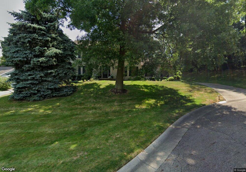
3902 Bramshaw Rd NW Canton, OH 44718
Estimated Value: $344,392 - $416,000
4
Beds
3
Baths
2,586
Sq Ft
$151/Sq Ft
Est. Value
About This Home
This home is located at 3902 Bramshaw Rd NW, Canton, OH 44718 and is currently estimated at $390,598, approximately $151 per square foot. 3902 Bramshaw Rd NW is a home located in Stark County with nearby schools including Lake Cable Elementary School, Jackson Memorial Middle School, and Jackson High School.
Ownership History
Date
Name
Owned For
Owner Type
Purchase Details
Closed on
Dec 1, 2020
Sold by
Turner Thomas Forbes and Turner Sandra Stavig
Bought by
Turner Thomas F and Turner Sandra Turne
Current Estimated Value
Home Financials for this Owner
Home Financials are based on the most recent Mortgage that was taken out on this home.
Original Mortgage
$220,000
Outstanding Balance
$123,142
Interest Rate
2.8%
Mortgage Type
New Conventional
Estimated Equity
$267,456
Purchase Details
Closed on
Aug 31, 1994
Sold by
Lazar Kenneth J
Bought by
Turner Thomas F
Home Financials for this Owner
Home Financials are based on the most recent Mortgage that was taken out on this home.
Original Mortgage
$144,415
Interest Rate
8.59%
Mortgage Type
New Conventional
Create a Home Valuation Report for This Property
The Home Valuation Report is an in-depth analysis detailing your home's value as well as a comparison with similar homes in the area
Home Values in the Area
Average Home Value in this Area
Purchase History
| Date | Buyer | Sale Price | Title Company |
|---|---|---|---|
| Turner Thomas F | -- | None Available | |
| Turner Thomas F | $169,900 | -- |
Source: Public Records
Mortgage History
| Date | Status | Borrower | Loan Amount |
|---|---|---|---|
| Open | Turner Thomas F | $220,000 | |
| Closed | Turner Thomas F | $144,415 |
Source: Public Records
Tax History
| Year | Tax Paid | Tax Assessment Tax Assessment Total Assessment is a certain percentage of the fair market value that is determined by local assessors to be the total taxable value of land and additions on the property. | Land | Improvement |
|---|---|---|---|---|
| 2025 | -- | $104,690 | $27,620 | $77,070 |
| 2024 | -- | $104,690 | $27,620 | $77,070 |
| 2023 | $3,954 | $79,450 | $22,960 | $56,490 |
| 2022 | $2,355 | $79,450 | $22,960 | $56,490 |
| 2021 | $2,346 | $79,450 | $22,960 | $56,490 |
| 2020 | $3,821 | $69,130 | $19,810 | $49,320 |
| 2019 | $719 | $69,130 | $19,810 | $49,320 |
| 2018 | $3,718 | $69,130 | $19,810 | $49,320 |
| 2017 | $3,656 | $64,650 | $17,330 | $47,320 |
| 2016 | $3,680 | $64,650 | $17,330 | $47,320 |
| 2015 | $3,725 | $64,650 | $17,330 | $47,320 |
| 2014 | $1,558 | $59,010 | $15,820 | $43,190 |
| 2013 | $1,752 | $59,010 | $15,820 | $43,190 |
Source: Public Records
Map
Nearby Homes
- 4057 Bramshaw Rd NW
- 0 Hills And Dales Rd NW Unit 5191199
- 4277 Skycrest Dr NW
- 3722 Old Hickory Ave NW Unit 3A
- 5869 Hawks Nest Cir NW
- 5867 Hawks Nest Cir NW
- 5853 Hawks Nest Cir NW
- 5851 Hawks Nest Cir NW
- 3542 Red Tail Cir NW
- 2742 Dunkeith Dr NW
- 5830 Hawks Nest Cir NW
- 5845 Hawks Nest Cir NW
- 5828 Hawks Nest Cir NW
- 5843 Hawks Nest Cir NW
- 4120 Lochness Cir NW
- 4263 Belden Greens Cir NW
- 6182 Bertram Ave NW
- 2543 Dunkeith Dr NW
- 3633 Barrington Place NW
- 5957 Century St NW
- 3922 Bramshaw Rd NW
- 3927 Ashford St NW
- 5426 Blackthorne St NW
- 3940 Bramshaw Rd NW
- 3901 Bramshaw Rd NW
- 3921 Bramshaw Rd NW
- 3941 Ashford St NW
- 3939 Bramshaw Rd NW
- 3960 Bramshaw Rd NW
- 5404 Blackthorne St NW
- 3961 Ashford St NW
- 3959 Bramshaw Rd NW
- 5405 Blackthorne St NW
- 3855 Willowcrest Dr NW
- 3860 Willowcrest Dr NW
- 3978 Bramshaw Rd NW
- 5382 Blackthorne St NW
- 3981 Ashford St NW
- 3977 Bramshaw Rd NW
- 5381 Blackthorne St NW
Your Personal Tour Guide
Ask me questions while you tour the home.