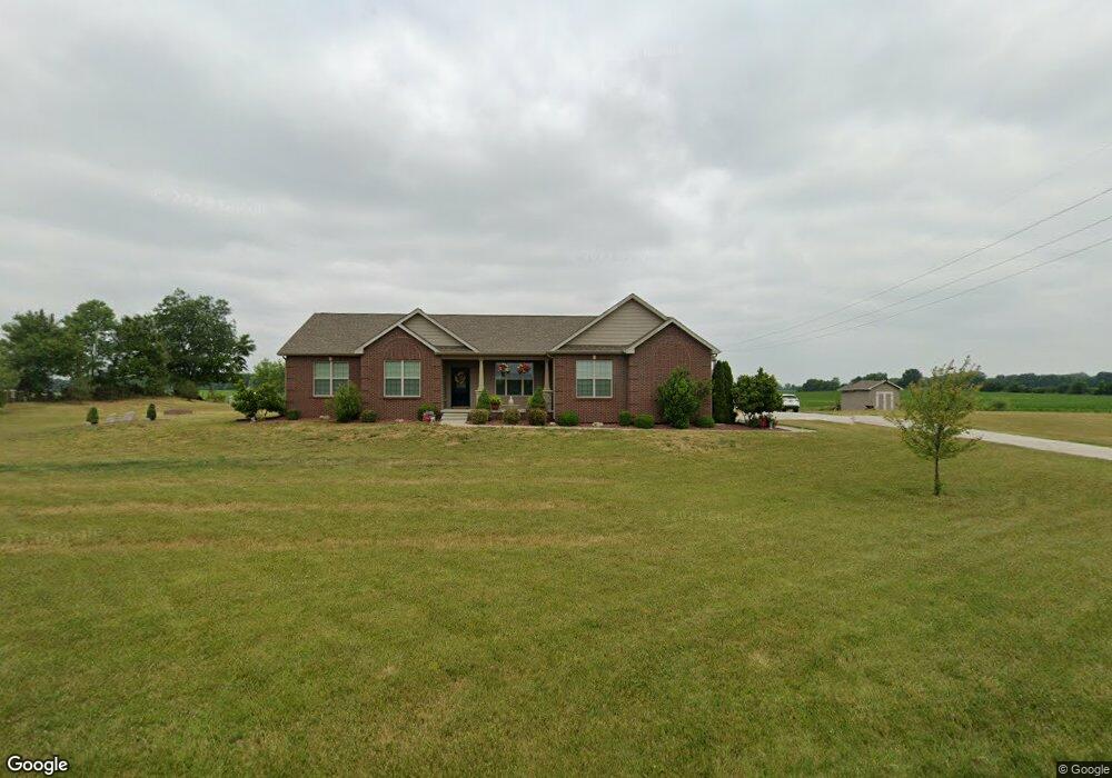
3902 E 600 S Lafayette, IN 47909
Estimated Value: $413,000 - $628,919
4
Beds
3
Baths
2,644
Sq Ft
$192/Sq Ft
Est. Value
About This Home
This home is located at 3902 E 600 S, Lafayette, IN 47909 and is currently estimated at $507,730, approximately $192 per square foot. 3902 E 600 S is a home with nearby schools including Woodland Elementary School, Wea Ridge Middle School, and McCutcheon High School.
Ownership History
Date
Name
Owned For
Owner Type
Purchase Details
Closed on
Oct 7, 2021
Sold by
Raney Noel and Raney Bethany
Bought by
Lahrman Robert J and Lahrman Elaine K
Current Estimated Value
Purchase Details
Closed on
Jul 12, 2021
Sold by
Lahrman Trust
Bought by
Raney Noel and Raney Bethany
Purchase Details
Closed on
May 10, 2013
Sold by
Crown Line Homes Inc
Bought by
Raney Noel A and Raney Bethany S
Home Financials for this Owner
Home Financials are based on the most recent Mortgage that was taken out on this home.
Original Mortgage
$216,000
Interest Rate
3.39%
Mortgage Type
New Conventional
Purchase Details
Closed on
Jan 3, 2013
Sold by
Lahrman Trust and Lahrman Robert J
Bought by
Crown Line Homes Inc
Home Financials for this Owner
Home Financials are based on the most recent Mortgage that was taken out on this home.
Original Mortgage
$207,909
Interest Rate
3.31%
Mortgage Type
New Conventional
Create a Home Valuation Report for This Property
The Home Valuation Report is an in-depth analysis detailing your home's value as well as a comparison with similar homes in the area
Purchase History
| Date | Buyer | Sale Price | Title Company |
|---|---|---|---|
| Lahrman Robert J | -- | None Available | |
| Raney Noel | -- | None Available | |
| Raney Noel A | -- | -- | |
| Crown Line Homes Inc | -- | -- |
Source: Public Records
Mortgage History
| Date | Status | Borrower | Loan Amount |
|---|---|---|---|
| Previous Owner | Raney Noel A | $216,000 | |
| Previous Owner | Crown Line Homes Inc | $207,909 |
Source: Public Records
Tax History
| Year | Tax Paid | Tax Assessment Tax Assessment Total Assessment is a certain percentage of the fair market value that is determined by local assessors to be the total taxable value of land and additions on the property. | Land | Improvement |
|---|---|---|---|---|
| 2024 | $4,600 | $521,600 | $30,700 | $490,900 |
| 2023 | $3,399 | $438,400 | $30,700 | $407,700 |
| 2022 | $3,255 | $406,800 | $30,700 | $376,100 |
| 2021 | $2,760 | $351,200 | $27,300 | $323,900 |
| 2020 | $2,554 | $330,300 | $27,300 | $303,000 |
| 2019 | $2,360 | $322,900 | $27,300 | $295,600 |
| 2018 | $2,252 | $315,400 | $27,300 | $288,100 |
| 2017 | $2,173 | $306,800 | $27,300 | $279,500 |
| 2016 | $2,073 | $298,800 | $27,300 | $271,500 |
| 2014 | $1,720 | $258,100 | $27,300 | $230,800 |
| 2013 | $1,755 | $115,900 | $27,300 | $88,600 |
Source: Public Records
Map
Nearby Homes
- 3823 E 600 S
- 3675 E 600 S
- 3710 E 600 S
- 4011 E 600 S
- 3535 E 600 S
- 6301 Forrest Grove Ln
- 6315 Forrest Grove Ln
- 3418 E 600 S
- 3425 E 600 S
- 6323 Forrest Grove Ln
- 3511 E 600 S
- 3374 E 600 S
- 6314 Forrest Grove Ln
- 6401 Forrest Grove Ln
- 6070 Sandwood Ln S
- 6324 Forrest Grove Ln
- 3330 E 600 S
- 4391 E 600 S
- 6078 Sandwood Ln S
- 6413 Forrest Grove Ln
Your Personal Tour Guide
Ask me questions while you tour the home.