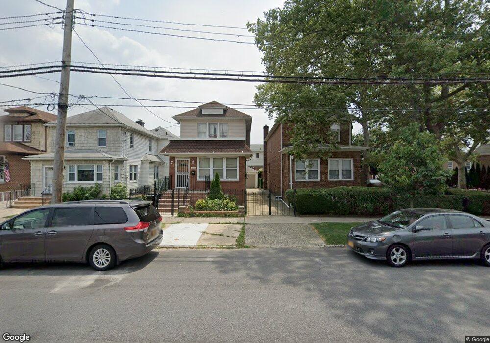
3902 Quentin Rd Brooklyn, NY 11234
Marine Park NeighborhoodEstimated Value: $1,009,562 - $1,128,000
3
Beds
2
Baths
1,920
Sq Ft
$557/Sq Ft
Est. Value
About This Home
This home is located at 3902 Quentin Rd, Brooklyn, NY 11234 and is currently estimated at $1,070,141, approximately $557 per square foot. 3902 Quentin Rd is a home located in Kings County with nearby schools including Ps 207 Elizabeth G Leary, J.H.S. 278 Marine Park, and James Madison High School.
Ownership History
Date
Name
Owned For
Owner Type
Purchase Details
Closed on
Jan 15, 2016
Sold by
Mandell Janet L
Bought by
Sobel Amy and Sobel Larry
Current Estimated Value
Home Financials for this Owner
Home Financials are based on the most recent Mortgage that was taken out on this home.
Original Mortgage
$375,000
Outstanding Balance
$296,747
Interest Rate
3.97%
Mortgage Type
New Conventional
Estimated Equity
$773,394
Purchase Details
Closed on
Jun 18, 1996
Sold by
Garbarino Louise
Bought by
Garbarino Henry R and Mandell Janet L
Create a Home Valuation Report for This Property
The Home Valuation Report is an in-depth analysis detailing your home's value as well as a comparison with similar homes in the area
Home Values in the Area
Average Home Value in this Area
Purchase History
| Date | Buyer | Sale Price | Title Company |
|---|---|---|---|
| Sobel Amy | $740,000 | -- | |
| Sobel Amy | $740,000 | -- | |
| Sobel Amy | $740,000 | -- | |
| Garbarino Henry R | -- | -- | |
| Garbarino Henry R | -- | -- |
Source: Public Records
Mortgage History
| Date | Status | Borrower | Loan Amount |
|---|---|---|---|
| Open | Sobel Amy | $375,000 | |
| Closed | Sobel Amy | $375,000 |
Source: Public Records
Tax History
| Year | Tax Paid | Tax Assessment Tax Assessment Total Assessment is a certain percentage of the fair market value that is determined by local assessors to be the total taxable value of land and additions on the property. | Land | Improvement |
|---|---|---|---|---|
| 2025 | $9,478 | $61,800 | $17,580 | $44,220 |
| 2024 | $9,478 | $66,840 | $17,580 | $49,260 |
| 2023 | $9,041 | $61,080 | $17,580 | $43,500 |
| 2022 | $8,385 | $64,200 | $17,580 | $46,620 |
| 2021 | $8,839 | $62,040 | $17,580 | $44,460 |
| 2019 | $8,226 | $54,960 | $17,580 | $37,380 |
| 2016 | $6,997 | $35,001 | $14,588 | $20,413 |
| 2015 | $2,840 | $34,735 | $17,976 | $16,759 |
| 2014 | $2,840 | $32,770 | $14,412 | $18,358 |
Source: Public Records
Map
Nearby Homes
- 1674 Ryder St
- 1752 E 38th St
- 1649 E 37th St
- 3620 Quentin Rd
- 3921 Avenue R Unit 3923
- 1632 E 38th St
- 3617 Quentin Rd
- 1672 Hendrickson St
- 1750 E 37th St
- 1719 E 36th St
- 1628 Hendrickson St
- 1623 Hendrickson St Unit 1625
- 1817 E 37th St
- 1638 E 36th St
- 1664 E 35th St
- 2075 Flatbush Ave
- 2230 Troy Ave
- 2239 Troy Ave Unit 4F
- 1857 E 37th St
- 1852 E 37th St
Your Personal Tour Guide
Ask me questions while you tour the home.