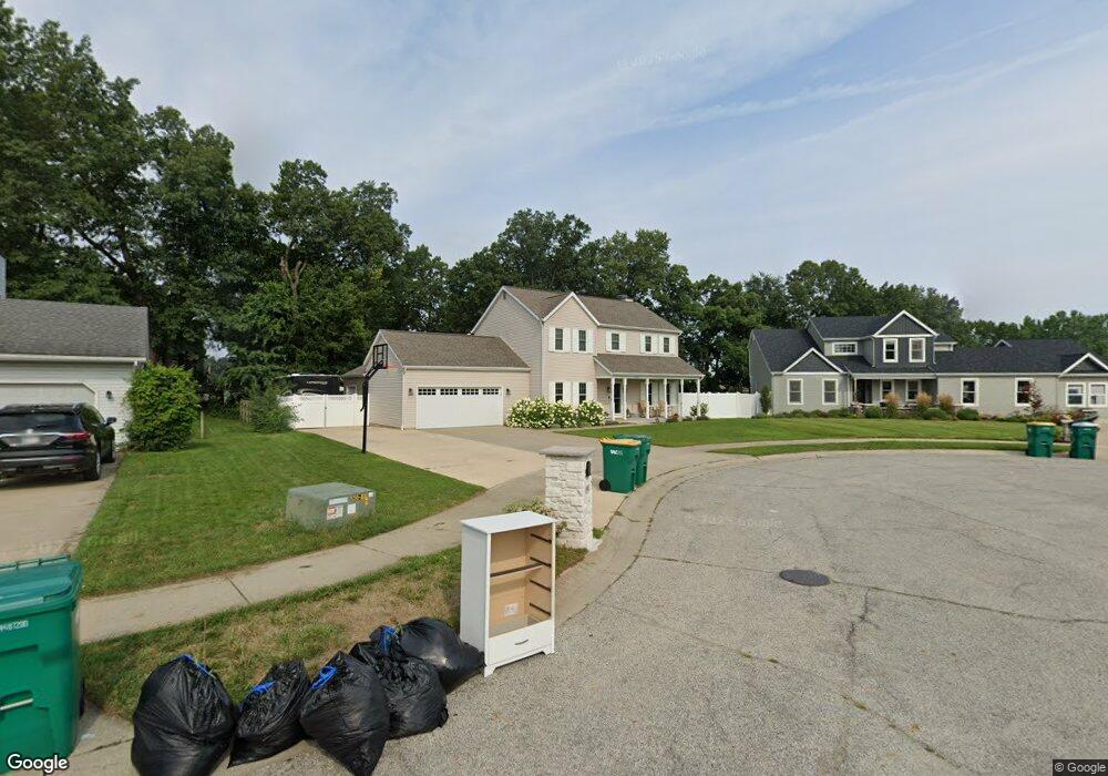
3902 Southampton Dr Mishawaka, IN 46544
Estimated Value: $357,260 - $455,000
4
Beds
4
Baths
3,872
Sq Ft
$103/Sq Ft
Est. Value
About This Home
This home is located at 3902 Southampton Dr, Mishawaka, IN 46544 and is currently estimated at $397,565, approximately $102 per square foot. 3902 Southampton Dr is a home located in St. Joseph County with nearby schools including Fred J. Hums Elementary School, John J. Young Middle School, and Mishawaka High School.
Ownership History
Date
Name
Owned For
Owner Type
Purchase Details
Closed on
Aug 24, 2022
Sold by
Barkley Timothy A and Barkley Donna J
Bought by
Leniski Kara G and Barkley Alex N
Current Estimated Value
Home Financials for this Owner
Home Financials are based on the most recent Mortgage that was taken out on this home.
Original Mortgage
$370,500
Outstanding Balance
$354,217
Interest Rate
5.51%
Mortgage Type
New Conventional
Estimated Equity
$43,348
Create a Home Valuation Report for This Property
The Home Valuation Report is an in-depth analysis detailing your home's value as well as a comparison with similar homes in the area
Home Values in the Area
Average Home Value in this Area
Purchase History
| Date | Buyer | Sale Price | Title Company |
|---|---|---|---|
| Leniski Kara G | -- | Metropolitan Title |
Source: Public Records
Mortgage History
| Date | Status | Borrower | Loan Amount |
|---|---|---|---|
| Open | Leniski Kara G | $370,500 |
Source: Public Records
Tax History Compared to Growth
Tax History
| Year | Tax Paid | Tax Assessment Tax Assessment Total Assessment is a certain percentage of the fair market value that is determined by local assessors to be the total taxable value of land and additions on the property. | Land | Improvement |
|---|---|---|---|---|
| 2024 | $4,015 | $312,000 | $53,400 | $258,600 |
| 2023 | $4,000 | $336,100 | $58,900 | $277,200 |
| 2022 | $4,051 | $297,100 | $58,900 | $238,200 |
| 2021 | $3,329 | $237,500 | $35,100 | $202,400 |
| 2020 | $3,249 | $232,000 | $35,400 | $196,600 |
| 2019 | $3,086 | $218,500 | $33,200 | $185,300 |
| 2018 | $3,751 | $216,100 | $32,600 | $183,500 |
| 2017 | $2,492 | $161,600 | $27,900 | $133,700 |
| 2016 | $2,403 | $161,600 | $27,900 | $133,700 |
| 2014 | $2,141 | $164,800 | $27,900 | $136,900 |
Source: Public Records
Map
Nearby Homes
- 3964 Stonegate Dr
- Lot 677A Rosemont Place Unit 677A
- Lot 607A Rosemont Place Unit 607A
- Lot 608A Rosemont Place Unit 608A
- 4020 Stonegate Dr
- 3811 Dudley Dr
- 1602 Stoneham
- 3421 Westborough Dr
- VL Blackberry Rd
- Lot 619A Stoneham Unit 619
- Lot 683A Stoneham Unit 683
- 1725 Stoneham
- 1101 Wellsley Ct
- 1568 Blanchard Dr
- 1556 Conant Ct
- 1315 Providence Ct
- 1529 Hampton Ct
- 135 Ray St
- 3362 York St
- 123 Oakside Ave
- 3910 Southampton Dr
- 3901 Stonegate Dr
- 1502 Shelton Dr
- 1506 Shelton Dr
- 3918 Southampton Dr
- 3907 Stonegate Dr
- 3842 Fern Hill Dr
- 1135 Diamond Dr
- 3925 Southampton Dr
- 1510 Shelton Dr
- 1133 Diamond Dr
- 1218 Meadow Ct
- 3926 Southampton Dr
- 3913 Stonegate Dr
- 1131 Diamond Dr
- 1514 Shelton Dr
- 1129 Diamond Dr
- 1217 Meadow Ct
- 1212 Meadow Ct
- 3933 Southampton Dr