3903 Mallard Rd Ropesville, TX 79358
Estimated Value: $291,000 - $426,000
Studio
--
Bath
1,705
Sq Ft
$203/Sq Ft
Est. Value
About This Home
This home is located at 3903 Mallard Rd, Ropesville, TX 79358 and is currently estimated at $345,279, approximately $202 per square foot. 3903 Mallard Rd is a home located in Hockley County with nearby schools including Ropes School.
Ownership History
Date
Name
Owned For
Owner Type
Purchase Details
Closed on
Apr 13, 2018
Sold by
Hensley Shirley C and Hensley Shirley Connie
Bought by
Harbuck Tara and Harbuck Tony
Current Estimated Value
Home Financials for this Owner
Home Financials are based on the most recent Mortgage that was taken out on this home.
Original Mortgage
$161,500
Outstanding Balance
$138,654
Interest Rate
4.46%
Mortgage Type
New Conventional
Estimated Equity
$206,625
Purchase Details
Closed on
Sep 12, 2016
Sold by
Hensley Shirley C and Hensley Shirley C
Bought by
Hensley Shirley C
Purchase Details
Closed on
Jun 28, 2005
Sold by
Rockin J Properties Llp
Bought by
Hensley John R and Hensley Shirley C
Create a Home Valuation Report for This Property
The Home Valuation Report is an in-depth analysis detailing your home's value as well as a comparison with similar homes in the area
Purchase History
We collect this data history from publicly available records. To have your information removed, we recommend requesting removal directly through your county’s website.
| Date | Buyer | Sale Price | Title Company |
|---|---|---|---|
| Harbuck Tara | -- | Service Title Company | |
| Hensley Shirley C | -- | None Available | |
| Hensley John R | -- | -- |
Source: Public Records
Mortgage History
We collect this data history from publicly available records. To have your information removed, we recommend requesting removal directly through your county’s website.
| Date | Status | Borrower | Loan Amount |
|---|---|---|---|
| Open | Harbuck Tara | $161,500 |
Source: Public Records
Tax History
| Year | Tax Paid | Tax Assessment Tax Assessment Total Assessment is a certain percentage of the fair market value that is determined by local assessors to be the total taxable value of land and additions on the property. | Land | Improvement |
|---|---|---|---|---|
| 2025 | $2,903 | $254,080 | $10,570 | $243,510 |
| 2024 | $2,936 | $238,080 | $10,060 | $228,020 |
| 2023 | $3,941 | $223,100 | $8,750 | $214,350 |
| 2022 | $4,251 | $197,430 | $8,750 | $188,680 |
| 2021 | $4,292 | $176,900 | $8,750 | $168,150 |
| 2020 | $3,905 | $171,200 | $8,750 | $162,450 |
| 2019 | $4,094 | $171,200 | $8,750 | $162,450 |
| 2018 | $4,012 | $167,770 | $8,750 | $159,020 |
| 2017 | $3,933 | $162,080 | $8,750 | $153,330 |
| 2016 | $3,795 | $156,390 | $8,750 | $147,640 |
| 2015 | -- | $151,830 | $8,750 | $143,080 |
| 2014 | -- | $146,110 | $8,750 | $137,360 |
Source: Public Records
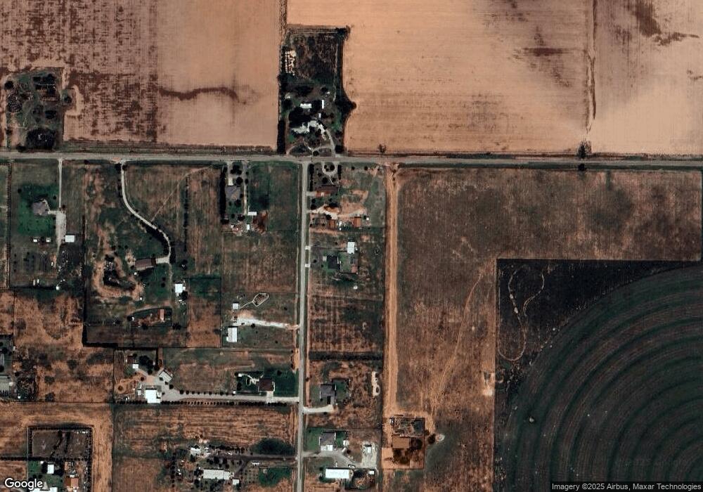
Map
Nearby Homes
- 6449 Rockin T Rd
- 0 Rockin T Rd Unit 202600317
- 0 Rockin T Rd Unit 202564755
- 0 Rockin T Rd Unit 202600240
- 0 Rockin T Rd Unit 202600239
- 0 Rockin T Rd Unit 202564738
- 0 Rockin T Rd Unit 202564743
- 0 Rockin T Rd Unit 202600406
- 0 Rockin T Rd Unit 202600315
- 0 Rockin T Rd Unit 202600407
- 0 Rockin T Rd Unit 202600314
- 0 Rockin T Rd Unit 202600316
- 0 Rockin T Rd Unit 202600402
- 0 Rockin T Rd Unit 202600238
- 0 Rockin T Rd Unit 202600237
- 0 Rockin T Rd Unit 202564746
- 0 Rockin T Rd Unit 202600404
- 0 Rockin T Rd Unit 202600405
- 0 MacAw Road Lot 22
- 0 Starling Circle Lot 18 Unit 202604123
- 0 Foster Rd Unit 9950574
- 0 Foster Rd Unit 9950539
- 0 Foster Rd Unit 9950540
- 0 Foster Rd Unit 9946820
- 0 Foster Rd Unit 9946826
- 0 Foster Rd Unit 9946828
- 0 Foster Rd Unit 9946832
- 0 Foster Rd Unit 9946822
- 0 Foster Rd Unit 9946827
- 0 Foster Rd Unit 9946823
- 0 Foster Rd Unit 9946814
- 0 Foster Rd Unit 9946829
- 0 Foster Rd Unit 9946821
- 0 Foster Rd Unit 9946816
- 0 Foster Rd Unit 9946815
- 0 Foster Rd Unit 9953651
- 0 Foster Rd Unit 9950577
- 0 Foster Rd Unit 9950586
- 0 Foster Rd Unit 9950590
- 0 Foster Rd Unit 9950575
Your Personal Tour Guide
Ask me questions while you tour the home.