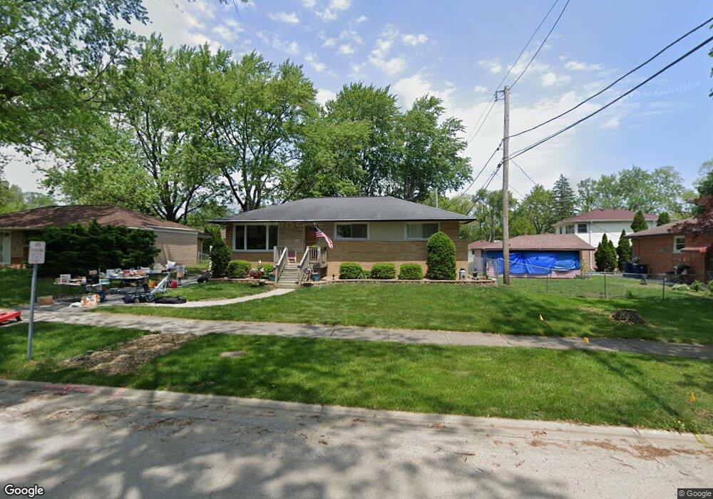
3904 213th Place Matteson, IL 60443
Old Matteson NeighborhoodEstimated Value: $178,000 - $217,000
3
Beds
2
Baths
1,037
Sq Ft
$190/Sq Ft
Est. Value
About This Home
This home is located at 3904 213th Place, Matteson, IL 60443 and is currently estimated at $197,091, approximately $190 per square foot. 3904 213th Place is a home located in Cook County with nearby schools including Illinois School, Matteson Elementary School, and Sauk Elementary School.
Ownership History
Date
Name
Owned For
Owner Type
Purchase Details
Closed on
Aug 3, 1995
Sold by
Deland Matthew J and Deland Janine T
Bought by
Oprea Paul S and Oprea Julie K
Current Estimated Value
Home Financials for this Owner
Home Financials are based on the most recent Mortgage that was taken out on this home.
Original Mortgage
$52,000
Interest Rate
7.56%
Create a Home Valuation Report for This Property
The Home Valuation Report is an in-depth analysis detailing your home's value as well as a comparison with similar homes in the area
Home Values in the Area
Average Home Value in this Area
Purchase History
| Date | Buyer | Sale Price | Title Company |
|---|---|---|---|
| Oprea Paul S | $101,000 | Chicago Title Insurance Co |
Source: Public Records
Mortgage History
| Date | Status | Borrower | Loan Amount |
|---|---|---|---|
| Closed | Oprea Paul S | $52,000 |
Source: Public Records
Tax History
| Year | Tax Paid | Tax Assessment Tax Assessment Total Assessment is a certain percentage of the fair market value that is determined by local assessors to be the total taxable value of land and additions on the property. | Land | Improvement |
|---|---|---|---|---|
| 2025 | $4,285 | $13,746 | $3,034 | $10,712 |
| 2024 | $4,285 | $13,746 | $3,034 | $10,712 |
| 2023 | $623 | $17,000 | $3,034 | $13,966 |
| 2022 | $623 | $7,989 | $2,655 | $5,334 |
| 2021 | $2,195 | $7,988 | $2,655 | $5,333 |
| 2020 | $2,172 | $7,988 | $2,655 | $5,333 |
| 2019 | $2,210 | $8,386 | $2,465 | $5,921 |
| 2018 | $2,206 | $8,386 | $2,465 | $5,921 |
| 2017 | $2,154 | $8,386 | $2,465 | $5,921 |
| 2016 | $2,038 | $7,356 | $2,275 | $5,081 |
| 2015 | $2,861 | $9,241 | $2,275 | $6,966 |
| 2014 | $2,804 | $9,241 | $2,275 | $6,966 |
| 2013 | $3,512 | $10,765 | $2,275 | $8,490 |
Source: Public Records
Map
Nearby Homes
- 3919 214th St
- 21308 Tower Ave
- 21406 S Jean Ave
- 3727 214th Place Unit 2
- 3719 211th Place
- 21142 Locust St
- 3704 215th St Unit 205
- 3615 214th St
- 4022 Richmond Ct
- 21616 Richmond Rd
- 3624 216th St
- 888 Woodstock Rd
- 831 Violet Ln
- 4110 Applewood Ln
- 3421 Station Dr
- 30 Strauss Ln
- 21602 Dogwood Rd Unit 1184
- 4325 Oakwood Ln
- 20869 Greenwood Dr
- 21617 Dogwood Rd Unit 1125
- 3908 213th Place
- 21310 Butterfield Pkwy
- 21306 Butterfield Pkwy
- 3914 213th Place
- 3905 213th St
- 3909 213th St Unit 2
- 21300 Butterfield Pkwy
- 3915 213th St
- 3905 213th Place
- 3909 213th Place
- 21320 Butterfield Pkwy
- 3915 213th Place
- 3919 213th St
- 3922 213th Place
- 3919 213th Place
- 21305 Butterfield Pkwy
- 21309 Butterfield Pkwy
- 3923 213th St
- 21301 Butterfield Pkwy
- 3830 213th Place
Your Personal Tour Guide
Ask me questions while you tour the home.