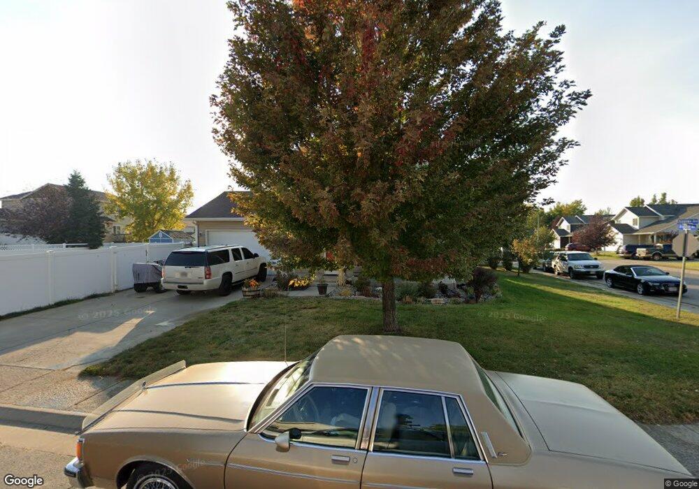
3904 Chippewa Ave Gillette, WY 82718
Estimated Value: $308,000 - $348,000
3
Beds
2
Baths
1,426
Sq Ft
$230/Sq Ft
Est. Value
About This Home
This home is located at 3904 Chippewa Ave, Gillette, WY 82718 and is currently estimated at $327,563, approximately $229 per square foot. 3904 Chippewa Ave is a home located in Campbell County with nearby schools including Westwood High School, Sunflower Elementary School, and Sage Valley Junior High School.
Ownership History
Date
Name
Owned For
Owner Type
Purchase Details
Closed on
Jul 20, 2006
Sold by
Gillette Construction Corp
Bought by
Rose Jeremy and Peterson Valerie D
Current Estimated Value
Home Financials for this Owner
Home Financials are based on the most recent Mortgage that was taken out on this home.
Original Mortgage
$183,800
Outstanding Balance
$108,816
Interest Rate
6.6%
Mortgage Type
New Conventional
Estimated Equity
$218,747
Create a Home Valuation Report for This Property
The Home Valuation Report is an in-depth analysis detailing your home's value as well as a comparison with similar homes in the area
Home Values in the Area
Average Home Value in this Area
Purchase History
| Date | Buyer | Sale Price | Title Company |
|---|---|---|---|
| Rose Jeremy | -- | None Available | |
| Gillette Construction Corp | -- | None Available |
Source: Public Records
Mortgage History
| Date | Status | Borrower | Loan Amount |
|---|---|---|---|
| Open | Rose Jeremy | $183,800 |
Source: Public Records
Tax History Compared to Growth
Tax History
| Year | Tax Paid | Tax Assessment Tax Assessment Total Assessment is a certain percentage of the fair market value that is determined by local assessors to be the total taxable value of land and additions on the property. | Land | Improvement |
|---|---|---|---|---|
| 2025 | $1,672 | $18,550 | $4,658 | $13,892 |
| 2024 | $1,672 | $23,782 | $5,972 | $17,810 |
| 2023 | $1,669 | $23,723 | $5,972 | $17,751 |
| 2022 | $1,400 | $19,838 | $4,357 | $15,481 |
| 2021 | $1,269 | $18,742 | $4,357 | $14,385 |
| 2020 | $1,269 | $18,652 | $4,357 | $14,295 |
| 2019 | $1,250 | $18,410 | $4,357 | $14,053 |
| 2018 | $1,211 | $17,908 | $4,357 | $13,551 |
| 2017 | $1,233 | $18,272 | $4,481 | $13,791 |
| 2016 | $1,276 | $18,889 | $4,108 | $14,781 |
| 2015 | -- | $17,996 | $4,108 | $13,888 |
| 2014 | -- | $17,962 | $4,108 | $13,854 |
Source: Public Records
Map
Nearby Homes
- 1251 Shoshone Ave
- 3805 Red Lodge Dr
- 3801 Red Lodge Dr
- 1306 Big Sky St
- 1301 Big Sky St
- 1150 E Shoshone Ave
- 1490 Harvest Moon Dr
- 4255 S Butler-Spaeth Rd
- Tbd Butler-Spaeth Rd
- 166 Royal Cir
- 158 Royal Cir
- 3220 Decoy Ave
- 154 Royal Cir
- 170 Royal Cir
- 150 Royal Cir
- 146 Royal Cir
- 174 Royal Cir
- 3806 Triton Ave
- 142 Royal Cir
- 167 Royal Cir
- 1213 Arapahoe Ave
- 1213 Dillon Ct
- 1211 Arapahoe Ave
- 1211 Dillon Ct
- 3905 Chippewa Ave
- 3903 Chippewa Ave
- 1209 Arapahoe Ave -
- 3907 Chippewa Ave -
- 1209 Dillon Ct
- 1209 Arapahoe Ave
- 3907 Chippewa Ave
- 3901 Chippewa Ave
- 1212 Arapahoe Ave
- 1210 Arapahoe Ave
- 1207 Dillon Ct
- 3909 Chippewa Ave
- 3811 Chippewa Ave
- 1207 Arapahoe Ave
- 1208 Arapahoe Ave
- 1205 Dillon Ct