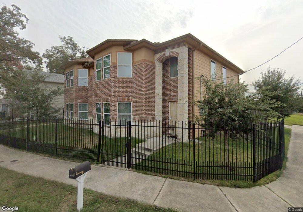
3904 Curtis St Unit A Houston, TX 77020
Estimated Value: $465,000 - $594,000
6
Beds
4
Baths
3,248
Sq Ft
$166/Sq Ft
Est. Value
About This Home
This home is located at 3904 Curtis St Unit A, Houston, TX 77020 and is currently estimated at $540,503, approximately $166 per square foot. 3904 Curtis St Unit A is a home located in Harris County with nearby schools including Atherton Elementary School, Fleming Middle School, and Wheatley High School.
Ownership History
Date
Name
Owned For
Owner Type
Purchase Details
Closed on
Nov 17, 2015
Sold by
Oh Young Kook
Bought by
Eckert Dwight W
Current Estimated Value
Purchase Details
Closed on
Mar 5, 2010
Sold by
Land Assemblage Redevelopment Authority
Bought by
Oh Young Kook
Purchase Details
Closed on
May 25, 2007
Sold by
Blaylock Henry and Williams Ollie Lee
Bought by
Land Assemblage Redevelopment Authority
Purchase Details
Closed on
Jan 10, 2007
Sold by
New Christ Way Missionary Baptist Church
Bought by
City Of Houston and Houston Independent School District
Create a Home Valuation Report for This Property
The Home Valuation Report is an in-depth analysis detailing your home's value as well as a comparison with similar homes in the area
Home Values in the Area
Average Home Value in this Area
Purchase History
| Date | Buyer | Sale Price | Title Company |
|---|---|---|---|
| Eckert Dwight W | -- | American Title Co | |
| Oh Young Kook | -- | None Available | |
| Land Assemblage Redevelopment Authority | -- | None Available | |
| City Of Houston | -- | None Available |
Source: Public Records
Tax History Compared to Growth
Tax History
| Year | Tax Paid | Tax Assessment Tax Assessment Total Assessment is a certain percentage of the fair market value that is determined by local assessors to be the total taxable value of land and additions on the property. | Land | Improvement |
|---|---|---|---|---|
| 2025 | $5,339 | $389,787 | $80,028 | $309,759 |
| 2024 | $5,339 | $389,787 | $80,028 | $309,759 |
| 2023 | $5,339 | $389,787 | $80,028 | $309,759 |
| 2022 | $6,736 | $420,004 | $69,498 | $350,506 |
| 2021 | $6,482 | $411,303 | $47,385 | $363,918 |
| 2020 | $6,123 | $309,868 | $35,802 | $274,066 |
| 2019 | $5,816 | $233,976 | $35,802 | $198,174 |
| 2018 | $4,382 | $205,218 | $26,325 | $178,893 |
| 2017 | $5,157 | $203,942 | $23,166 | $180,776 |
| 2016 | $5,098 | $201,613 | $18,954 | $182,659 |
| 2015 | -- | $182,761 | $13,268 | $169,493 |
| 2014 | -- | $56,756 | $13,268 | $43,488 |
Source: Public Records
Map
Nearby Homes
- 3922 Farmer St
- 0 Lyons Alley
- 4108 Farmer St
- 4110 Farmer St
- 3605 Farmer St
- 1711 Benson St
- 1501 Featherstone St
- 4417 New Orleans St
- 4604 & 4608 Market St
- 4009 New Orleans St Unit A
- 4009 New Orleans St Unit A/B
- 1200 Capron St
- 1416 Copeland St
- 3717 Providence St
- 3405 Orange St
- 3417 Stonewall St
- 3415 Stonewall St
- 3705 Providence St
- 2108 Bringhurst St
- 1414 Gregg St
- 3904 Curtis St
- 3904 Curtis St Unit A & B
- 3904 Curtis St Unit B
- 3906 Curtis St
- 3910 Curtis St
- 3914 Curtis St
- 3917 Curtis St
- 1419 Granger St
- 1410 Worms St
- 3919 Curtis St
- 1415 Granger St
- 4102 Curtis St
- 1408 Worms St
- 3923 Curtis St
- 1411 Granger St
- 3916 Farmer St
- 3114 Orange St
- 4001 Curtis St
- 1406 Worms St
- 1407 Granger St