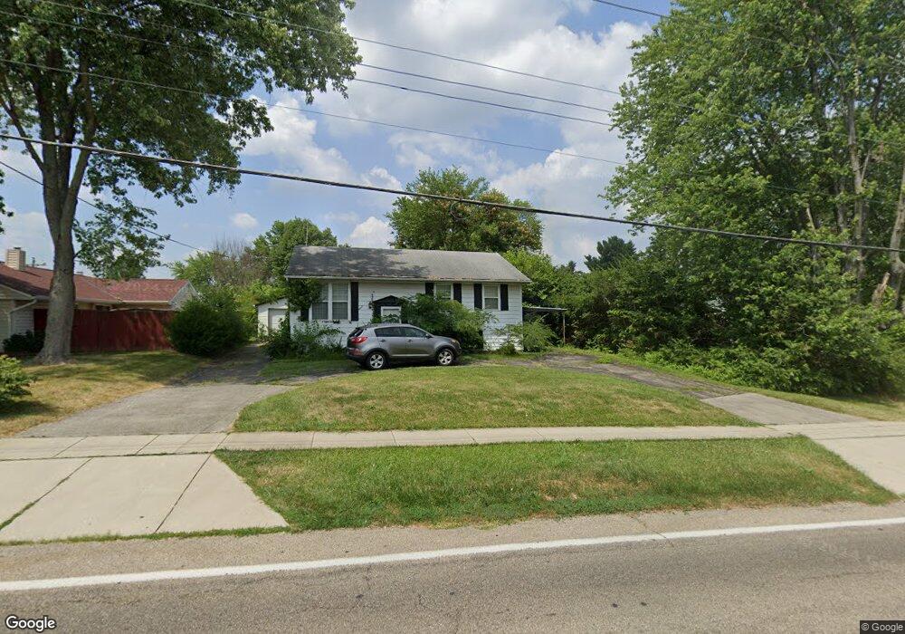
3904 Poole Rd Cincinnati, OH 45251
Northgate NeighborhoodEstimated Value: $224,000 - $280,000
3
Beds
2
Baths
1,924
Sq Ft
$126/Sq Ft
Est. Value
About This Home
This home is located at 3904 Poole Rd, Cincinnati, OH 45251 and is currently estimated at $243,188, approximately $126 per square foot. 3904 Poole Rd is a home located in Hamilton County with nearby schools including Colerain Elementary School, Colerain Middle School, and Colerain High School.
Ownership History
Date
Name
Owned For
Owner Type
Purchase Details
Closed on
Dec 31, 2008
Sold by
Schleutker Charles W
Bought by
Boyle Terrence J
Current Estimated Value
Home Financials for this Owner
Home Financials are based on the most recent Mortgage that was taken out on this home.
Original Mortgage
$103,300
Interest Rate
5.96%
Mortgage Type
VA
Purchase Details
Closed on
Jun 15, 2004
Sold by
Schleutker Charles W and Schleutker John D
Bought by
Schleutker Charles W and Schleutker John D
Create a Home Valuation Report for This Property
The Home Valuation Report is an in-depth analysis detailing your home's value as well as a comparison with similar homes in the area
Home Values in the Area
Average Home Value in this Area
Purchase History
| Date | Buyer | Sale Price | Title Company |
|---|---|---|---|
| Boyle Terrence J | $100,000 | Ltoc | |
| Schleutker Charles W | -- | -- |
Source: Public Records
Mortgage History
| Date | Status | Borrower | Loan Amount |
|---|---|---|---|
| Previous Owner | Boyle Terrence J | $103,300 |
Source: Public Records
Tax History
| Year | Tax Paid | Tax Assessment Tax Assessment Total Assessment is a certain percentage of the fair market value that is determined by local assessors to be the total taxable value of land and additions on the property. | Land | Improvement |
|---|---|---|---|---|
| 2025 | $3,025 | $52,350 | $9,688 | $42,662 |
| 2023 | $2,823 | $52,350 | $9,688 | $42,662 |
| 2022 | $2,599 | $39,309 | $9,478 | $29,831 |
| 2021 | $2,578 | $39,309 | $9,478 | $29,831 |
| 2020 | $2,603 | $39,309 | $9,478 | $29,831 |
| 2019 | $2,365 | $33,314 | $8,033 | $25,281 |
| 2018 | $2,122 | $33,314 | $8,033 | $25,281 |
| 2017 | $2,012 | $33,314 | $8,033 | $25,281 |
| 2016 | $2,035 | $33,254 | $8,082 | $25,172 |
| 2015 | $2,054 | $33,254 | $8,082 | $25,172 |
| 2014 | $2,057 | $33,254 | $8,082 | $25,172 |
| 2013 | $2,061 | $35,000 | $8,505 | $26,495 |
Source: Public Records
Map
Nearby Homes
- 9111 Cobblechase Ct
- 9136 Yellowwood Dr
- 8877 Wuest Rd
- 3760 Brockton Dr
- 8747 Cheviot Rd
- 8530 Wuest Rd
- 9125 Round Top Rd
- 3494 Poole Rd
- 3467 Amberway Ct Unit 85
- 3364 Amberway Ct Unit 45
- 3776 Sagebrush Ln
- 3724 Yellowstone Dr
- 3424 Sunbury Ln
- 8261 Cheviot Rd
- 9528 Haddington Ct
- 9446 Haddington Ct
- 9570 Stateland Ct
- 9503 Haddington Ct
- 3950 Olde Savannah Dr
- 3937 Olde Savannah Dr Unit 3937
- 3993 Woodsong Dr
- 3989 Woodsong Dr
- 3876 Poole Rd
- 3985 Woodsong Dr
- 3992 Woodsong Dr
- 3905 Poole Rd
- 3939 Poole Rd
- 3981 Woodsong Dr
- 3986 Woodsong Dr
- 3965 Poole Rd
- 4000 Poole Rd
- 3855 Poole Rd
- 3980 Woodsong Dr
- 3977 Woodsong Dr
- 3812 Poole Rd
- 4018 Poole Rd
- 3850 Poole Rd
- 3995 Poole Rd
- 3974 Woodsong Dr
- 3819 Poole Rd
Your Personal Tour Guide
Ask me questions while you tour the home.