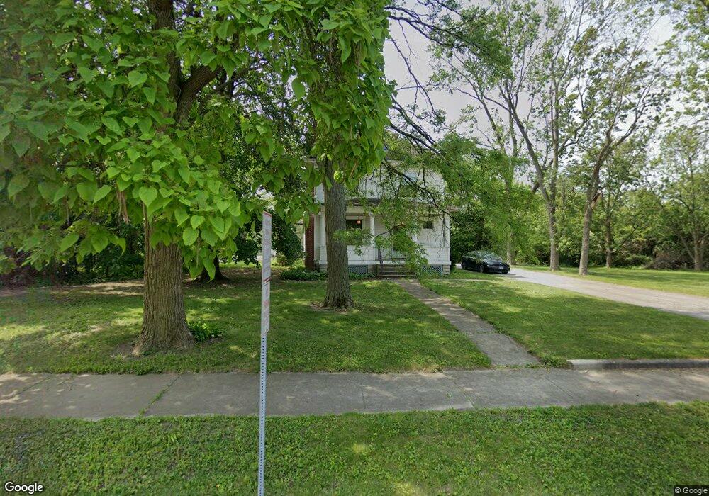
3905 216th St Matteson, IL 60443
Old Matteson NeighborhoodEstimated Value: $190,000 - $242,000
5
Beds
2
Baths
1,930
Sq Ft
$114/Sq Ft
Est. Value
About This Home
This home is located at 3905 216th St, Matteson, IL 60443 and is currently estimated at $220,436, approximately $114 per square foot. 3905 216th St is a home located in Cook County with nearby schools including Illinois School, Matteson Elementary School, and Sauk Elementary School.
Ownership History
Date
Name
Owned For
Owner Type
Purchase Details
Closed on
Aug 8, 1994
Sold by
Heritage Trust Company
Bought by
Keenan Edward J and Keenan Heidi L
Current Estimated Value
Home Financials for this Owner
Home Financials are based on the most recent Mortgage that was taken out on this home.
Original Mortgage
$171,000
Interest Rate
8.72%
Create a Home Valuation Report for This Property
The Home Valuation Report is an in-depth analysis detailing your home's value as well as a comparison with similar homes in the area
Home Values in the Area
Average Home Value in this Area
Purchase History
| Date | Buyer | Sale Price | Title Company |
|---|---|---|---|
| Keenan Edward J | $180,000 | -- |
Source: Public Records
Mortgage History
| Date | Status | Borrower | Loan Amount |
|---|---|---|---|
| Closed | Keenan Edward J | $171,000 |
Source: Public Records
Tax History
| Year | Tax Paid | Tax Assessment Tax Assessment Total Assessment is a certain percentage of the fair market value that is determined by local assessors to be the total taxable value of land and additions on the property. | Land | Improvement |
|---|---|---|---|---|
| 2025 | $5,656 | $17,000 | $7,200 | $9,800 |
| 2024 | $5,656 | $17,000 | $7,200 | $9,800 |
| 2023 | $5,213 | $17,000 | $7,200 | $9,800 |
| 2022 | $5,213 | $13,030 | $6,300 | $6,730 |
| 2021 | $5,334 | $13,030 | $6,300 | $6,730 |
| 2020 | $5,056 | $13,030 | $6,300 | $6,730 |
| 2019 | $6,007 | $15,036 | $5,850 | $9,186 |
| 2018 | $6,003 | $15,036 | $5,850 | $9,186 |
| 2017 | $6,153 | $15,760 | $5,850 | $9,910 |
| 2016 | $5,673 | $14,035 | $5,400 | $8,635 |
| 2015 | $5,563 | $14,035 | $5,400 | $8,635 |
| 2014 | $5,414 | $14,035 | $5,400 | $8,635 |
| 2013 | $5,796 | $16,057 | $5,400 | $10,657 |
Source: Public Records
Map
Nearby Homes
- 4022 Richmond Ct
- 21616 Richmond Rd
- 21406 S Jean Ave
- 3919 214th St
- 3727 214th Place Unit 2
- 3704 215th St Unit 205
- 21308 Tower Ave
- 3624 216th St
- 3615 214th St
- 3704 Linden Rd
- 5085 Euclid Ln
- 4430 Maple Ave
- 21945 Millard Ave
- 21142 Locust St
- 3719 211th Place
- 3421 Station Dr
- 4448 Maple Ave
- 22100 Karlov Ave
- 22048 Jordan Ln
- 22121 Karlov Ave
Your Personal Tour Guide
Ask me questions while you tour the home.