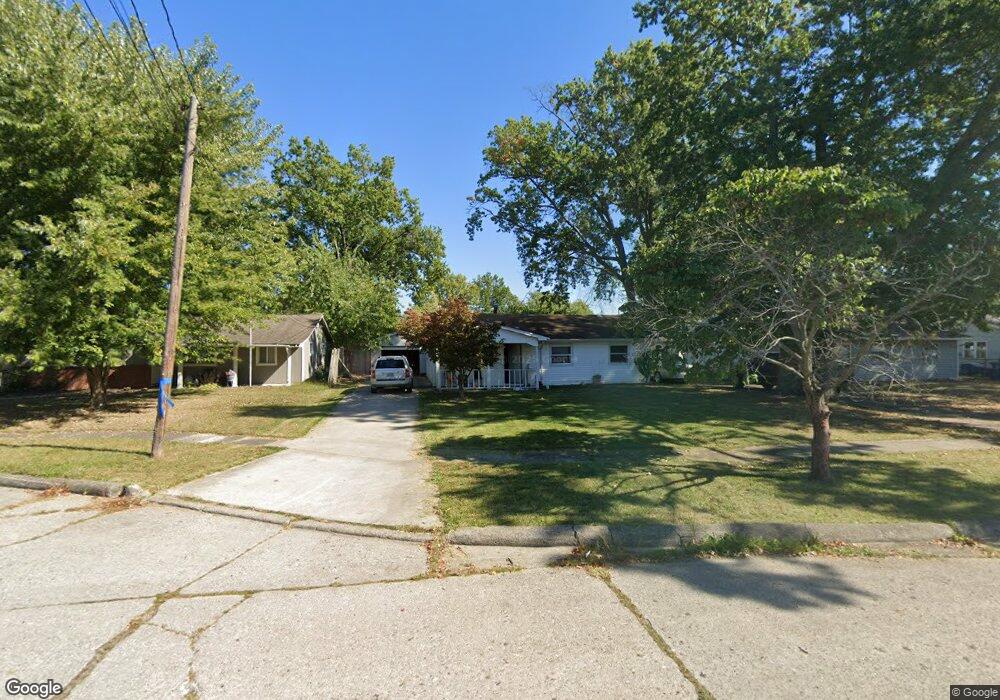
3905 Carrie Dr Lorain, OH 44055
Estimated Value: $127,000 - $155,000
3
Beds
1
Bath
988
Sq Ft
$145/Sq Ft
Est. Value
About This Home
This home is located at 3905 Carrie Dr, Lorain, OH 44055 and is currently estimated at $142,772, approximately $144 per square foot. 3905 Carrie Dr is a home located in Lorain County with nearby schools including Helen Steiner Rice Elementary School, Southview Middle School, and Lorain High School.
Ownership History
Date
Name
Owned For
Owner Type
Purchase Details
Closed on
Mar 27, 2015
Sold by
Perez Efrain and Perez Irma
Bought by
Emt Investments Llc
Current Estimated Value
Home Financials for this Owner
Home Financials are based on the most recent Mortgage that was taken out on this home.
Original Mortgage
$45,000
Outstanding Balance
$34,553
Interest Rate
3.67%
Mortgage Type
Purchase Money Mortgage
Estimated Equity
$108,219
Create a Home Valuation Report for This Property
The Home Valuation Report is an in-depth analysis detailing your home's value as well as a comparison with similar homes in the area
Home Values in the Area
Average Home Value in this Area
Purchase History
| Date | Buyer | Sale Price | Title Company |
|---|---|---|---|
| Emt Investments Llc | $50,000 | Old Republic Natl Title Ins |
Source: Public Records
Mortgage History
| Date | Status | Borrower | Loan Amount |
|---|---|---|---|
| Open | Emt Investments Llc | $45,000 |
Source: Public Records
Tax History Compared to Growth
Tax History
| Year | Tax Paid | Tax Assessment Tax Assessment Total Assessment is a certain percentage of the fair market value that is determined by local assessors to be the total taxable value of land and additions on the property. | Land | Improvement |
|---|---|---|---|---|
| 2024 | $1,447 | $34,244 | $5,443 | $28,802 |
| 2023 | $1,567 | $29,659 | $6,055 | $23,604 |
| 2022 | $1,554 | $29,659 | $6,055 | $23,604 |
| 2021 | $1,553 | $29,659 | $6,055 | $23,604 |
| 2020 | $1,441 | $23,890 | $4,880 | $19,010 |
| 2019 | $1,433 | $23,890 | $4,880 | $19,010 |
| 2018 | $1,433 | $23,890 | $4,880 | $19,010 |
| 2017 | $1,323 | $20,790 | $5,690 | $15,100 |
| 2016 | $1,312 | $20,790 | $5,690 | $15,100 |
| 2015 | $1,240 | $20,790 | $5,690 | $15,100 |
| 2014 | $645 | $19,890 | $5,440 | $14,450 |
| 2013 | $640 | $19,890 | $5,440 | $14,450 |
Source: Public Records
Map
Nearby Homes
- 1951 E 39th St
- 1928 E 41st St
- 3934 Gary Ave
- 1924 E 33rd St
- 3690 Gary Ave
- 2315 Homewood Dr
- 2323 Homewood Dr
- V/L Grove Ave
- 2374 E 37th St
- 1837 E 36th St
- 1929 E 31st St
- 1810 E 34th St
- 2312 E 32nd St
- 2456 E 37th St
- 1771 E 37th St
- 3785 Lorain Ave
- 1844 E 31st St
- 2126 E 29th St
- 2338 E 31st St
- 3985 Dale Ave
- 3909 Carrie Dr
- 3903 Carrie Dr
- 3915 Carrie Dr
- 3904 Oakwood Ave
- 3910 Oakwood Ave
- 3901 Carrie Dr
- 2024 E 39th St
- 3828 Oakwood Ave
- 3916 Oakwood Ave
- 2033 E 39th St
- 3922 Oakwood Ave
- 3822 Oakwood Ave
- 3914 Carrie Dr
- 2020 E 39th St
- 2029 E 39th St
- 4001 Carrie Dr
- 3816 Oakwood Ave
- 3930 Oakwood Ave
- 3920 Carrie Dr
- 2025 E 39th St