Estimated Value: $312,000 - $468,000
3
Beds
2
Baths
1,760
Sq Ft
$222/Sq Ft
Est. Value
About This Home
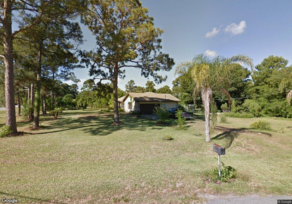
This home is located at 3905 Eagle Point Way, Mims, FL 32754 and is currently estimated at $390,685, approximately $221 per square foot. 3905 Eagle Point Way is a home located in Brevard County with nearby schools including Pinewood Elementary School, James Madison Middle School, and Astronaut High School.
Ownership History
Date
Name
Owned For
Owner Type
Purchase Details
Closed on
Apr 15, 2005
Sold by
Haga David B and Haga Claire H
Bought by
Morris Deborah L
Current Estimated Value
Home Financials for this Owner
Home Financials are based on the most recent Mortgage that was taken out on this home.
Original Mortgage
$100,000
Interest Rate
5.79%
Purchase Details
Closed on
Nov 15, 1996
Sold by
Haga David B and Haga Claire H
Bought by
Laporte Gerald J and Laporte La Forte
Create a Home Valuation Report for This Property
The Home Valuation Report is an in-depth analysis detailing your home's value as well as a comparison with similar homes in the area
Home Values in the Area
Average Home Value in this Area
Purchase History
| Date | Buyer | Sale Price | Title Company |
|---|---|---|---|
| Morris Deborah L | -- | Gulfatlantic Title | |
| Morris Deborah L | $250,000 | Gulfatlantic Title | |
| Laporte Gerald J | $111,900 | -- |
Source: Public Records
Mortgage History
| Date | Status | Borrower | Loan Amount |
|---|---|---|---|
| Previous Owner | Morris Deborah L | $100,000 |
Source: Public Records
Tax History
| Year | Tax Paid | Tax Assessment Tax Assessment Total Assessment is a certain percentage of the fair market value that is determined by local assessors to be the total taxable value of land and additions on the property. | Land | Improvement |
|---|---|---|---|---|
| 2025 | $1,622 | $120,880 | -- | -- |
| 2024 | $1,584 | $117,480 | -- | -- |
| 2023 | $1,584 | $114,060 | $0 | $0 |
| 2022 | $1,478 | $110,740 | $0 | $0 |
| 2021 | $1,497 | $107,520 | $0 | $0 |
| 2020 | $1,438 | $106,040 | $0 | $0 |
| 2019 | $1,378 | $103,660 | $0 | $0 |
| 2018 | $1,370 | $101,730 | $0 | $0 |
| 2017 | $1,365 | $99,640 | $0 | $0 |
| 2016 | $1,370 | $97,600 | $37,500 | $60,100 |
| 2015 | $1,387 | $96,930 | $37,500 | $59,430 |
| 2014 | $1,390 | $96,170 | $30,000 | $66,170 |
Source: Public Records
Map
Nearby Homes
- 0000 Wood Duck Dr
- 3772 E R Smyth Dr
- 3573 Sandhill Crane Cir
- 3724 Sandhill Crane Cir
- 3600 Burrowing Owl Dr
- 3570 Burrowing Owl Dr
- 3550 US Highway 1 Unit Lot 8
- 3550 US Highway 1 Unit Lot 75
- 3479 Burrowing Owl Dr
- 3931 U S Route 1
- 3259 Burrowing Owl Dr
- 4080 Highway 1 Hwy
- 3426 Morrow Place
- 4150 U S Route 1
- 3406 Morrow Place
- 3527 Old Dixie Hwy
- 0000 Joel Ave
- 3818 Loggerhead Ln
- 3318 5th Ave
- 3884 Sandhill Crane Cir
- 3915 Eagle Point Way
- 3900 Eagle Point Way
- 3660 Wood Duck Dr
- 3665 Wood Duck Dr
- 3925 Eagle Point Way
- 3685 Wood Duck Dr
- 3910 Eagle Point Way
- 3930 Eagle Point Way
- 3650 Wood Duck Dr
- 3705 Wood Duck Dr
- 3920 Eagle Point Way
- 3700 Wood Duck Dr
- 3655 Wood Duck Dr
- 3710 Wood Duck Dr
- 3645 Wood Duck Dr
- 3640 Wood Duck Dr
- 3720 Wood Duck Dr
- 3635 Wood Duck Dr
- 3725 Wood Duck Dr
- 3630 Wood Duck Dr
Your Personal Tour Guide
Ask me questions while you tour the home.