3905 Faye Ave N Mandan, ND 58554
Estimated Value: $279,000 - $356,000
--
Bed
--
Bath
--
Sq Ft
2.09
Acres
About This Home
This home is located at 3905 Faye Ave N, Mandan, ND 58554 and is currently estimated at $316,190. 3905 Faye Ave N is a home located in Morton County.
Ownership History
Date
Name
Owned For
Owner Type
Purchase Details
Closed on
Jul 29, 2019
Sold by
Gartner Chad and Gartner Suzanne
Bought by
Smith Kelsey
Current Estimated Value
Purchase Details
Closed on
Jun 10, 2011
Sold by
Zornjak Troy and Zornjak Nicole
Bought by
Gartner Chad and Gartner Suzanne
Purchase Details
Closed on
Nov 5, 2007
Sold by
Gill Randy A and Gill Amber N
Bought by
Zornjak Troy and Zornjak Nicole
Home Financials for this Owner
Home Financials are based on the most recent Mortgage that was taken out on this home.
Original Mortgage
$14,025
Interest Rate
7.75%
Mortgage Type
Purchase Money Mortgage
Create a Home Valuation Report for This Property
The Home Valuation Report is an in-depth analysis detailing your home's value as well as a comparison with similar homes in the area
Home Values in the Area
Average Home Value in this Area
Purchase History
| Date | Buyer | Sale Price | Title Company |
|---|---|---|---|
| Smith Kelsey | $35,625 | Quality Title Inc | |
| Gartner Chad | $18,500 | North Dakota Guaranty & Titl | |
| Zornjak Troy | $16,500 | Mandan Title Company |
Source: Public Records
Mortgage History
| Date | Status | Borrower | Loan Amount |
|---|---|---|---|
| Previous Owner | Zornjak Troy | $14,025 |
Source: Public Records
Tax History Compared to Growth
Tax History
| Year | Tax Paid | Tax Assessment Tax Assessment Total Assessment is a certain percentage of the fair market value that is determined by local assessors to be the total taxable value of land and additions on the property. | Land | Improvement |
|---|---|---|---|---|
| 2024 | $1,299 | $105,000 | $20,000 | $85,000 |
| 2023 | $1,166 | $100,650 | $20,000 | $80,650 |
| 2022 | $848 | $66,450 | $20,000 | $46,450 |
| 2021 | $1,364 | $119,350 | $20,000 | $99,350 |
| 2020 | $1,473 | $120,400 | $20,000 | $100,400 |
| 2019 | $1,693 | $126,300 | $0 | $0 |
| 2018 | $1,548 | $118,600 | $20,000 | $98,600 |
| 2017 | $1,255 | $110,900 | $20,000 | $90,900 |
| 2016 | $1,177 | $101,750 | $10,000 | $91,750 |
| 2015 | $1,049 | $84,100 | $4,000 | $80,100 |
| 2014 | $430 | $30,650 | $4,000 | $26,650 |
| 2013 | $441 | $28,450 | $4,000 | $24,450 |
Source: Public Records
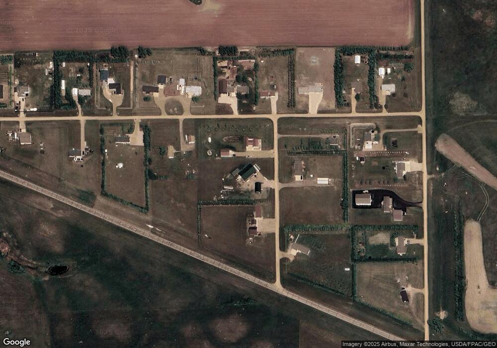
Map
Nearby Homes
- 3250 County Road 139
- 3260 County Road 139
- 3145 County Rd Unit 139a
- 3060 37th St
- ON Country Ln
- On S Coyote Rd
- 210 Crown Butte Dr
- 3744 Roughrider Ln
- 3190 County Road 139
- 0 County Rd 82 Rd
- 3474 Dakota Loop
- 2574 Brooks St
- 6017 Horseshoe Bend NW
- 000 56th Ave
- 4510 Blackstone Ln NW
- 4506 Blackstone Ln NW
- 4527 Blackstone Ln NW
- 5010 Rimrock Ave NW
- 5004 Rimrock Ave NW
- On 24th Ave