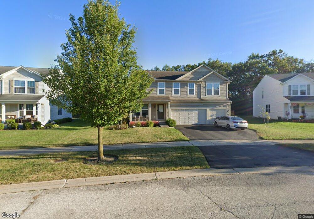
3905 Harmony Ct Zion, IL 60099
West Zion NeighborhoodEstimated Value: $395,000 - $448,000
4
Beds
3
Baths
3,292
Sq Ft
$127/Sq Ft
Est. Value
About This Home
This home is located at 3905 Harmony Ct, Zion, IL 60099 and is currently estimated at $416,573, approximately $126 per square foot. 3905 Harmony Ct is a home located in Lake County with nearby schools including Kenneth Murphy School, Beach Park Middle School, and Zion-Benton Township High School.
Ownership History
Date
Name
Owned For
Owner Type
Purchase Details
Closed on
Sep 28, 2007
Sold by
Pulte Home Corp
Bought by
Rivera Danny and Rivera Glisel
Current Estimated Value
Home Financials for this Owner
Home Financials are based on the most recent Mortgage that was taken out on this home.
Original Mortgage
$280,525
Outstanding Balance
$177,781
Interest Rate
6.5%
Mortgage Type
Purchase Money Mortgage
Estimated Equity
$238,792
Create a Home Valuation Report for This Property
The Home Valuation Report is an in-depth analysis detailing your home's value as well as a comparison with similar homes in the area
Home Values in the Area
Average Home Value in this Area
Purchase History
| Date | Buyer | Sale Price | Title Company |
|---|---|---|---|
| Rivera Danny | $321,000 | Pulte Midwest Title South |
Source: Public Records
Mortgage History
| Date | Status | Borrower | Loan Amount |
|---|---|---|---|
| Open | Rivera Danny | $280,525 |
Source: Public Records
Tax History Compared to Growth
Tax History
| Year | Tax Paid | Tax Assessment Tax Assessment Total Assessment is a certain percentage of the fair market value that is determined by local assessors to be the total taxable value of land and additions on the property. | Land | Improvement |
|---|---|---|---|---|
| 2024 | $12,234 | $116,378 | $15,849 | $100,529 |
| 2023 | $12,025 | $103,761 | $14,131 | $89,630 |
| 2022 | $12,025 | $98,161 | $12,674 | $85,487 |
| 2021 | $11,868 | $92,083 | $11,889 | $80,194 |
| 2020 | $11,462 | $86,609 | $11,182 | $75,427 |
| 2019 | $11,163 | $80,679 | $10,416 | $70,263 |
| 2018 | $11,004 | $78,742 | $10,685 | $68,057 |
| 2017 | $10,808 | $73,045 | $9,912 | $63,133 |
| 2016 | $10,054 | $66,308 | $8,998 | $57,310 |
| 2015 | $9,687 | $60,165 | $8,164 | $52,001 |
| 2014 | $8,118 | $52,734 | $7,545 | $45,189 |
| 2012 | $8,693 | $56,160 | $8,035 | $48,125 |
Source: Public Records
Map
Nearby Homes
- 2413 Michael Ave
- 2407 Miriam Ave
- 2414 Phillip Dr
- 2407 Phillip Dr
- 3404 Sarah Dr
- 12976 W 28th Place
- 42334 N Heritage Lot 7 Trail
- 0 26th St
- 39520 N Green Bay Rd
- 3007 30th St
- 39401 N Green Bay Rd
- 2822 26th St
- 13051 Bucksburn Ct
- 2313 Joppa Ave
- 2031 Dawn Ln
- 2509 Jethro Ave
- 2305 Joppa Ave
- 2307 Joanna Ave
- 3100 Lebanon Ave
- 2204 Joanna Ave
- 3907 Harmony Ct
- 3901 Harmony Ct
- 3909 Harmony Ct
- 3917 Harmony Ct
- 3919 Harmony Ct
- 3817 Harmony Dr
- 3911 Harmony Ct
- 3915 Harmony Ct
- 3913 Harmony Ct
- 4001 Cypress Dr
- 3815 Harmony Dr
- 3814 Harmony Dr
- 3812 Harmony Dr
- 4003 Cypress Dr
- 3813 Harmony Dr
- 4000 Cypress Dr
- 12309 W Hickory Ln
- 12304 W Hickory Ln
- 4005 Cypress Dr
- 4002 Cypress Dr