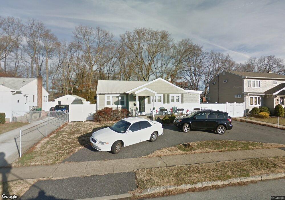
3905 Mill Rd Seaford, NY 11783
Estimated Value: $681,941 - $701,000
Studio
1
Bath
1,074
Sq Ft
$644/Sq Ft
Est. Value
About This Home
This home is located at 3905 Mill Rd, Seaford, NY 11783 and is currently estimated at $691,471, approximately $643 per square foot. 3905 Mill Rd is a home located in Nassau County with nearby schools including Seaford Middle School, Seaford Senior High School, and Maria Regina Elementary School.
Ownership History
Date
Name
Owned For
Owner Type
Purchase Details
Closed on
Jan 28, 2016
Sold by
Demartino Paul and Demartino John
Bought by
Demartino Paul
Current Estimated Value
Home Financials for this Owner
Home Financials are based on the most recent Mortgage that was taken out on this home.
Original Mortgage
$242,170
Outstanding Balance
$192,045
Interest Rate
3.79%
Estimated Equity
$499,426
Purchase Details
Closed on
Mar 31, 2011
Sold by
Hubschmitt Mary Ann and Chambers Nancy Ann
Bought by
Demartino John and Demartino Paul
Purchase Details
Closed on
Feb 18, 2005
Sold by
Brunson Betty
Create a Home Valuation Report for This Property
The Home Valuation Report is an in-depth analysis detailing your home's value as well as a comparison with similar homes in the area
Home Values in the Area
Average Home Value in this Area
Purchase History
| Date | Buyer | Sale Price | Title Company |
|---|---|---|---|
| Demartino Paul | -- | None Available | |
| Demartino John | $322,000 | -- | |
| -- | -- | -- |
Source: Public Records
Mortgage History
| Date | Status | Borrower | Loan Amount |
|---|---|---|---|
| Open | Demartino Paul | $242,170 |
Source: Public Records
Tax History
| Year | Tax Paid | Tax Assessment Tax Assessment Total Assessment is a certain percentage of the fair market value that is determined by local assessors to be the total taxable value of land and additions on the property. | Land | Improvement |
|---|---|---|---|---|
| 2025 | $10,389 | $383 | $175 | $208 |
| 2024 | $3,402 | $436 | $199 | $237 |
| 2023 | $11,399 | $438 | $200 | $238 |
| 2022 | $11,399 | $436 | $199 | $237 |
| 2021 | $15,638 | $463 | $211 | $252 |
| 2020 | $13,109 | $794 | $672 | $122 |
| 2019 | $13,152 | $794 | $672 | $122 |
| 2018 | $12,367 | $794 | $0 | $0 |
| 2017 | $7,459 | $794 | $672 | $122 |
| 2016 | $11,069 | $794 | $672 | $122 |
| 2015 | $3,352 | $794 | $647 | $147 |
| 2014 | $3,352 | $794 | $647 | $147 |
| 2013 | $3,143 | $794 | $672 | $122 |
Source: Public Records
Map
Nearby Homes
- 1433 Bowers Dr
- 3771 Jerusalem Ave
- 4030 Jerusalem Ave Unit 1B
- 3938 Arthur Ave N
- 3984 Arthur Ave N
- 4057 Eve Dr
- 3914 Maplewood Dr
- 3683 Orchard Rd
- 3862 Clark St
- 1420 Poulson St
- 20 Boston Ave
- 1480 Adam Place
- 74 Jerusalem Ave
- 248 Twin Ln E
- 3887 Hudson Ave
- 361 Twin Ln S
- 9 N Walnut Place
- 3 N Walnut Place
- 1461 Briard St
- 3860 Hudson Ave
Your Personal Tour Guide
Ask me questions while you tour the home.