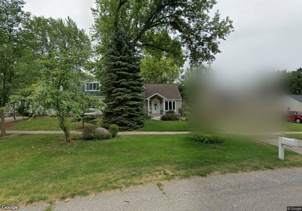
3905 Motorway Dr Waterford, MI 48328
Waterford Township NeighborhoodEstimated Value: $198,949 - $217,000
3
Beds
1
Bath
962
Sq Ft
$220/Sq Ft
Est. Value
About This Home
This home is located at 3905 Motorway Dr, Waterford, MI 48328 and is currently estimated at $211,487, approximately $219 per square foot. 3905 Motorway Dr is a home located in Oakland County with nearby schools including Donelson Hills Elementary School, Mason Middle School, and Waterford Mott High School.
Ownership History
Date
Name
Owned For
Owner Type
Purchase Details
Closed on
Jan 11, 2023
Sold by
Peters Kenneth and Peters Michele E
Bought by
Peters Heather L and Peters Blake M
Current Estimated Value
Create a Home Valuation Report for This Property
The Home Valuation Report is an in-depth analysis detailing your home's value as well as a comparison with similar homes in the area
Home Values in the Area
Average Home Value in this Area
Purchase History
| Date | Buyer | Sale Price | Title Company |
|---|---|---|---|
| Peters Heather L | -- | Land Title |
Source: Public Records
Tax History Compared to Growth
Tax History
| Year | Tax Paid | Tax Assessment Tax Assessment Total Assessment is a certain percentage of the fair market value that is determined by local assessors to be the total taxable value of land and additions on the property. | Land | Improvement |
|---|---|---|---|---|
| 2024 | $820 | $72,830 | $0 | $0 |
| 2023 | $782 | $68,310 | $0 | $0 |
| 2022 | $1,274 | $63,590 | $0 | $0 |
| 2021 | $1,206 | $62,090 | $0 | $0 |
| 2020 | $716 | $56,220 | $0 | $0 |
| 2019 | $1,861 | $50,560 | $0 | $0 |
| 2018 | $1,847 | $45,190 | $0 | $0 |
| 2017 | $1,776 | $45,190 | $0 | $0 |
| 2016 | $1,707 | $40,230 | $0 | $0 |
| 2015 | -- | $34,810 | $0 | $0 |
| 2014 | -- | $31,180 | $0 | $0 |
| 2011 | -- | $32,810 | $0 | $0 |
Source: Public Records
Map
Nearby Homes
- 445 Lakeside Dr
- 4003 Elmhurst Rd
- 3860 Lawley Ave
- 581 S Winding Dr
- 126 S Roslyn Rd
- 540 Lake Village Ave
- 4025 Cresthaven Dr
- 603 Woodingham Ave
- 577 Lakeside Dr
- The Dover Plan at Hogarth
- The Dawson Plan at Hogarth
- The Concord Plan at Hogarth
- The Everest Plan at Hogarth
- 433 Hogarth St
- 425 Hogarth St
- 424 Hogarth St
- 4227 Lanette Dr
- 4199 Motorway Dr
- 549 Grixdale Ln
- 3932 Oak Knoll Rd
- 3895 Motorway Dr
- 3915 Motorway Dr
- 3925 Motorway Dr
- 430 Lakeside Dr
- 3849 Motorway Dr
- 424 Lakeside Dr
- 426 Lakeside Dr
- 420 Lakeside Dr
- 3935 Motorway Dr
- 436 Lakeside Dr
- 3831 Motorway Dr
- 426 S Roslyn Rd
- 3945 Motorway Dr
- 444 Lakeside Dr
- 385 Ascot Ave
- 3955 Motorway Dr
- 398 S Roslyn Rd
- 395 S Roslyn Rd
- 450 Lakeside Dr Unit Bldg-Unit
- 450 Lakeside Dr