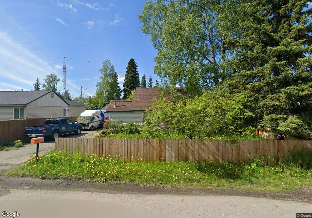
3906 Iowa Dr Anchorage, AK 99517
Spenard NeighborhoodEstimated Value: $203,000 - $364,000
2
Beds
2
Baths
1,120
Sq Ft
$264/Sq Ft
Est. Value
About This Home
This home is located at 3906 Iowa Dr, Anchorage, AK 99517 and is currently estimated at $296,229, approximately $264 per square foot. 3906 Iowa Dr is a home located in Anchorage Municipality with nearby schools including Northwood Elementary School, Romig Middle School, and West High School.
Ownership History
Date
Name
Owned For
Owner Type
Purchase Details
Closed on
Apr 28, 2009
Sold by
Anderson Monique S and Anderson Blain C
Bought by
Minski Laura L
Current Estimated Value
Home Financials for this Owner
Home Financials are based on the most recent Mortgage that was taken out on this home.
Original Mortgage
$181,649
Outstanding Balance
$115,632
Interest Rate
4.99%
Mortgage Type
FHA
Estimated Equity
$180,597
Purchase Details
Closed on
Mar 2, 1999
Sold by
Lomax David L
Bought by
Anderson Monique S and Anderson Blain C
Home Financials for this Owner
Home Financials are based on the most recent Mortgage that was taken out on this home.
Original Mortgage
$120,828
Interest Rate
6.76%
Mortgage Type
FHA
Purchase Details
Closed on
Oct 23, 1996
Sold by
Hill Rebecca D
Bought by
Lomax David L
Home Financials for this Owner
Home Financials are based on the most recent Mortgage that was taken out on this home.
Original Mortgage
$85,500
Interest Rate
8.3%
Mortgage Type
New Conventional
Create a Home Valuation Report for This Property
The Home Valuation Report is an in-depth analysis detailing your home's value as well as a comparison with similar homes in the area
Home Values in the Area
Average Home Value in this Area
Purchase History
| Date | Buyer | Sale Price | Title Company |
|---|---|---|---|
| Minski Laura L | -- | United Title | |
| Anderson Monique S | -- | -- | |
| Lomax David L | -- | -- |
Source: Public Records
Mortgage History
| Date | Status | Borrower | Loan Amount |
|---|---|---|---|
| Open | Minski Laura L | $181,649 | |
| Previous Owner | Anderson Monique S | $120,828 | |
| Previous Owner | Lomax David L | $85,500 |
Source: Public Records
Tax History Compared to Growth
Tax History
| Year | Tax Paid | Tax Assessment Tax Assessment Total Assessment is a certain percentage of the fair market value that is determined by local assessors to be the total taxable value of land and additions on the property. | Land | Improvement |
|---|---|---|---|---|
| 2025 | $3,121 | $278,500 | $104,500 | $174,000 |
| 2024 | $3,121 | $268,300 | $104,500 | $163,800 |
| 2023 | $3,043 | $253,700 | $104,500 | $149,200 |
| 2022 | $3,318 | $246,300 | $104,500 | $141,800 |
| 2021 | $3,900 | $216,400 | $104,500 | $111,900 |
| 2020 | $2,984 | $219,700 | $104,500 | $115,200 |
| 2019 | $2,885 | $220,400 | $104,500 | $115,900 |
| 2018 | $2,877 | $219,300 | $100,200 | $119,100 |
| 2017 | $3,245 | $227,200 | $100,200 | $127,000 |
| 2016 | $2,707 | $213,400 | $96,700 | $116,700 |
| 2015 | $2,707 | $214,600 | $96,700 | $117,900 |
| 2014 | $2,707 | $201,300 | $96,600 | $104,700 |
Source: Public Records
Map
Nearby Homes
- 4000 Iowa Dr
- NHN Northwood Dr
- 5000 Northwood Dr
- 3913 Barbara Dr
- 4302 Forrest Rd
- 2202 Lincoln Ave
- 2105 Mckinley Ave
- 2820 Wiley Post Ave
- 2702 Mcrae Rd
- 2511 Abbey Ln
- 2925 W 36th Ave
- 2040 Wenmatt Cir
- 2201 W 47th Ave
- 2808 Iris Dr
- 1808 Cleveland Ave
- 1806 Cleveland Ave
- 3517 Vintage Cir
- 3900 Crosson Dr
- 2101 W 47th Ave
- 3605 Oregon Dr Unit 7
- 3904 Iowa Dr
- 3908 Iowa Dr
- 3902 Iowa Dr
- 3903 Iowa Dr
- 3903 Iowa Dr Unit 3
- 3903 Iowa Dr Unit 1
- 3903 Iowa Dr Unit 4
- 3903 Iowa Dr Unit 5
- 3903 Iowa Dr Unit 2
- 3911 Arkansas Dr
- 3907 Arkansas Dr
- 4001 Arkansas Dr
- 3905 Iowa Dr
- 3905 Iowa Dr
- 3905 Iowa Dr Unit 1
- 3905 Iowa Dr Unit 3
- 3905 Iowa Dr Unit 4
- 3905 Iowa Dr Unit 2
- 4002 Iowa Dr
- 3905 Arkansas Dr