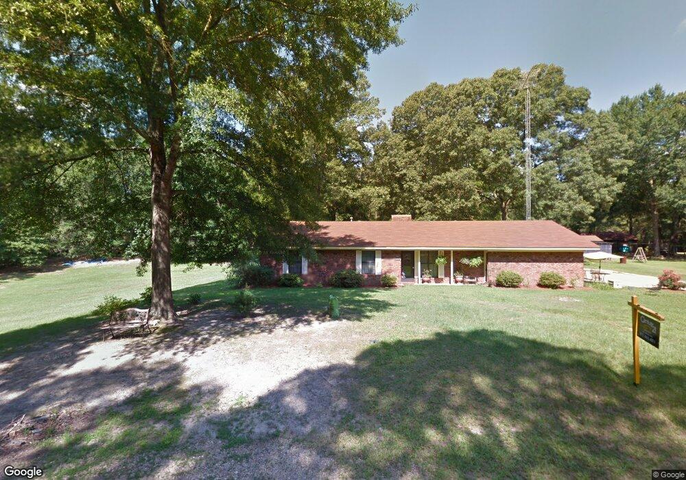
3906 Michael Ln El Dorado, AR 71730
Estimated Value: $181,000 - $247,000
Studio
2
Baths
1,868
Sq Ft
$119/Sq Ft
Est. Value
About This Home
This home is located at 3906 Michael Ln, El Dorado, AR 71730 and is currently estimated at $223,194, approximately $119 per square foot. 3906 Michael Ln is a home located in Union County with nearby schools including El Dorado High School.
Ownership History
Date
Name
Owned For
Owner Type
Purchase Details
Closed on
Jul 22, 2025
Sold by
Citigroup Mortgage Loan Trust and Us Bank Trust National Association
Bought by
Lagoon Properties Llc
Current Estimated Value
Purchase Details
Closed on
Jun 28, 2024
Sold by
Graven Tiffany R and Graven Michael E
Bought by
Citigroup Mortgage Loan Trust
Purchase Details
Closed on
Mar 23, 2007
Sold by
Roberson Warren F and Denise Roberson R
Bought by
Graven Michael and Graven Tiffany
Home Financials for this Owner
Home Financials are based on the most recent Mortgage that was taken out on this home.
Original Mortgage
$127,500
Interest Rate
6.24%
Mortgage Type
New Conventional
Purchase Details
Closed on
Jan 1, 1992
Bought by
Roberson Warren F
Create a Home Valuation Report for This Property
The Home Valuation Report is an in-depth analysis detailing your home's value as well as a comparison with similar homes in the area
Purchase History
| Date | Buyer | Sale Price | Title Company |
|---|---|---|---|
| Lagoon Properties Llc | $103,950 | None Listed On Document | |
| Citigroup Mortgage Loan Trust | $127,663 | None Listed On Document | |
| Graven Michael | $128,000 | None Available | |
| Roberson Warren F | -- | -- |
Source: Public Records
Mortgage History
| Date | Status | Borrower | Loan Amount |
|---|---|---|---|
| Previous Owner | Graven Michael | $127,500 |
Source: Public Records
Tax History
| Year | Tax Paid | Tax Assessment Tax Assessment Total Assessment is a certain percentage of the fair market value that is determined by local assessors to be the total taxable value of land and additions on the property. | Land | Improvement |
|---|---|---|---|---|
| 2025 | $1,295 | $29,660 | $670 | $28,990 |
| 2024 | $687 | $29,660 | $670 | $28,990 |
| 2023 | $708 | $29,660 | $670 | $28,990 |
| 2022 | $588 | $23,260 | $670 | $22,590 |
| 2021 | $588 | $23,260 | $670 | $22,590 |
| 2020 | $588 | $23,260 | $670 | $22,590 |
| 2019 | $549 | $23,260 | $670 | $22,590 |
| 2018 | $549 | $23,260 | $670 | $22,590 |
| 2017 | $488 | $20,690 | $670 | $20,020 |
| 2016 | $488 | $20,690 | $670 | $20,020 |
| 2014 | $488 | $20,690 | $670 | $20,020 |
Source: Public Records
Map
Nearby Homes
- 126 Michael Ln
- 0000 Ramble Rd Unit LotWP001
- 2303 Gaines St
- 0 Highway 63
- 14-18-15 Junction City Rd
- 418 E Ave
- 1306 Craig Ave
- 1005 E Cook St
- Lot 1-2 Southfield Rd
- 907 E Cook St
- 832 S Smith Ave
- 722 E Cook St
- 1009 E 1st St
- 136 Jacks Dr
- 1016 S Martin Luther King Junior Blvd
- 1510 E Hillsboro St
- 0000 E Main St
- 890 Nick Springs Rd
- 629 Miles
- 510 Dixie Dr
Your Personal Tour Guide
Ask me questions while you tour the home.