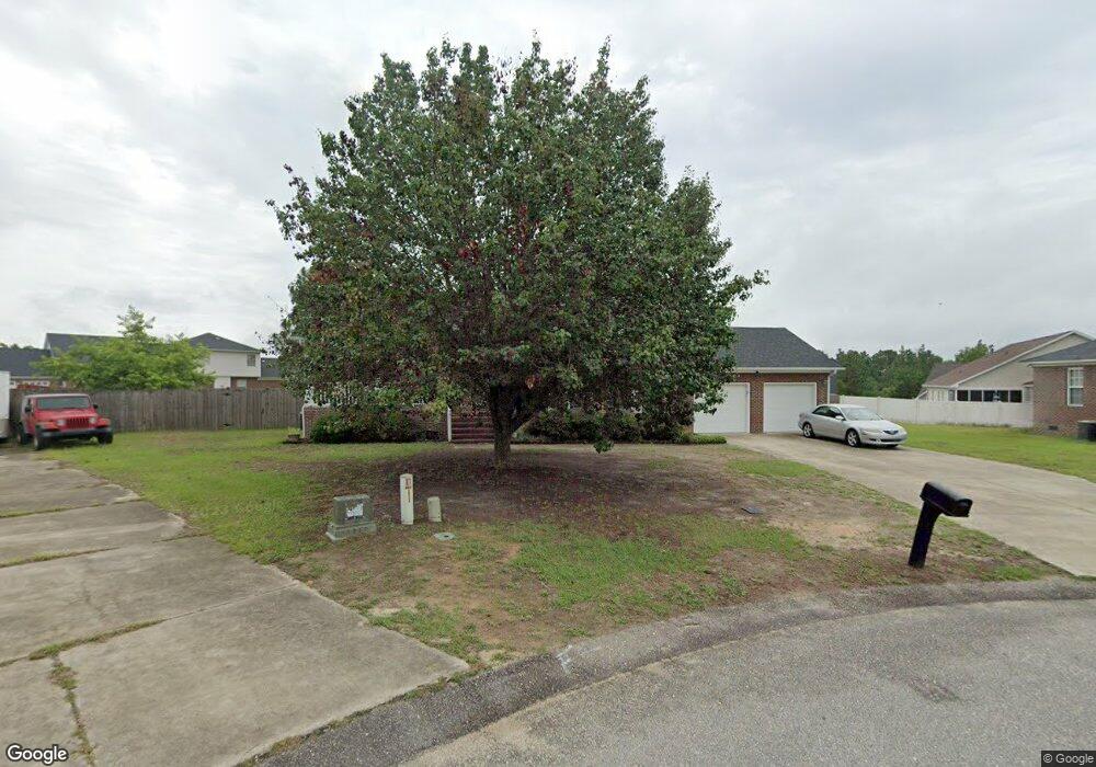
3907 Bensley Ct Hope Mills, NC 28348
South View NeighborhoodEstimated Value: $284,994 - $325,000
4
Beds
3
Baths
2,009
Sq Ft
$149/Sq Ft
Est. Value
About This Home
This home is located at 3907 Bensley Ct, Hope Mills, NC 28348 and is currently estimated at $298,499, approximately $148 per square foot. 3907 Bensley Ct is a home located in Cumberland County with nearby schools including C Wayne Collier Elementary, Hope Mills Middle, and South View High.
Ownership History
Date
Name
Owned For
Owner Type
Purchase Details
Closed on
Sep 1, 2004
Sold by
Hcc Investments L L C
Bought by
Russell Terence A
Current Estimated Value
Home Financials for this Owner
Home Financials are based on the most recent Mortgage that was taken out on this home.
Original Mortgage
$151,200
Outstanding Balance
$74,530
Interest Rate
5.91%
Mortgage Type
New Conventional
Estimated Equity
$223,969
Create a Home Valuation Report for This Property
The Home Valuation Report is an in-depth analysis detailing your home's value as well as a comparison with similar homes in the area
Home Values in the Area
Average Home Value in this Area
Purchase History
| Date | Buyer | Sale Price | Title Company |
|---|---|---|---|
| Russell Terence A | $168,000 | -- |
Source: Public Records
Mortgage History
| Date | Status | Borrower | Loan Amount |
|---|---|---|---|
| Open | Russell Terence A | $151,200 |
Source: Public Records
Tax History Compared to Growth
Tax History
| Year | Tax Paid | Tax Assessment Tax Assessment Total Assessment is a certain percentage of the fair market value that is determined by local assessors to be the total taxable value of land and additions on the property. | Land | Improvement |
|---|---|---|---|---|
| 2024 | $3,404 | $173,525 | $24,000 | $149,525 |
| 2023 | $2,710 | $173,525 | $24,000 | $149,525 |
| 2022 | $2,523 | $173,525 | $24,000 | $149,525 |
| 2021 | $2,486 | $173,525 | $24,000 | $149,525 |
| 2019 | $2,475 | $162,800 | $24,000 | $138,800 |
| 2018 | $2,451 | $162,800 | $24,000 | $138,800 |
| 2017 | $2,451 | $162,800 | $24,000 | $138,800 |
| 2016 | $2,570 | $180,600 | $24,000 | $156,600 |
| 2015 | $2,570 | $180,600 | $24,000 | $156,600 |
| 2014 | $2,570 | $180,600 | $24,000 | $156,600 |
Source: Public Records
Map
Nearby Homes
- 5019 Woodspring Dr
- 6145 Woodspring Dr
- 5869 Permastone Lake Rd
- 6241 Hedingham Dr
- 1504 Thoroughbred Trail
- 6208 Birchbrook Dr
- 5983 Richfield Ave
- 2134 Queen Elizabeth Ln
- 5909 Spinner Rd
- 2124 Sir Michael Dr
- 4213 Buckhurst Dr
- 6314 Bretton Woods Dr
- Alexander Plan at Pembroke
- McKimmon Plan at Pembroke
- Watauga Plan at Pembroke
- Tucker Plan at Pembroke
- Bowen Plan at Pembroke
- Mallard Plan at Pembroke
- 4531 Bunker Bay Ln
- Turlington Plan at Pembroke
- 3900 Bensley Ct
- 3911 Bensley Ct
- 4035 Dickens Ave
- 5027 Woodspring Dr
- 5031 Woodspring Dr
- 5035 Woodspring Dr
- 5011 Woodspring Dr
- 3908 Bensley Ct
- 5039 Woodspring Dr
- 3904 Bensley Ct
- 5001 Woodspring Dr
- 4034 Dickens Ave
- 5043 Woodspring Dr
- 4030 Dickens Ave
- 5028 Woodspring Dr
- 5032 Woodspring Dr
- 4026 Dickens Ave
- 5024 Woodspring Dr
- 5036 Woodspring Dr
- 5047 Woodspring Dr