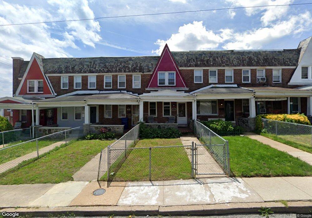
3907 Cranston Ave Baltimore, MD 21229
Edmondson Villiage NeighborhoodEstimated Value: $125,000 - $129,611
Studio
1
Bath
1,200
Sq Ft
$106/Sq Ft
Est. Value
About This Home
This home is located at 3907 Cranston Ave, Baltimore, MD 21229 and is currently estimated at $127,306, approximately $106 per square foot. 3907 Cranston Ave is a home located in Baltimore City with nearby schools including Booker T. Washington Middle School, Frederick Douglass High School, and Forest Park High School.
Ownership History
Date
Name
Owned For
Owner Type
Purchase Details
Closed on
Feb 5, 2021
Sold by
Morris Elizabeth L
Bought by
Graves Michael
Current Estimated Value
Home Financials for this Owner
Home Financials are based on the most recent Mortgage that was taken out on this home.
Original Mortgage
$85,500
Outstanding Balance
$76,470
Interest Rate
2.7%
Mortgage Type
New Conventional
Estimated Equity
$50,836
Purchase Details
Closed on
Nov 8, 2001
Sold by
Morris Elizabeth L
Bought by
Morris Elizabeth L
Create a Home Valuation Report for This Property
The Home Valuation Report is an in-depth analysis detailing your home's value as well as a comparison with similar homes in the area
Home Values in the Area
Average Home Value in this Area
Purchase History
| Date | Buyer | Sale Price | Title Company |
|---|---|---|---|
| Graves Michael | $90,000 | Passport Title Services Llc | |
| Graves Michael | $90,000 | Passport Title Services Llc | |
| Morris Elizabeth L | -- | -- |
Source: Public Records
Mortgage History
| Date | Status | Borrower | Loan Amount |
|---|---|---|---|
| Open | Graves Michael | $85,500 | |
| Closed | Graves Michael | $85,500 |
Source: Public Records
Tax History
| Year | Tax Paid | Tax Assessment Tax Assessment Total Assessment is a certain percentage of the fair market value that is determined by local assessors to be the total taxable value of land and additions on the property. | Land | Improvement |
|---|---|---|---|---|
| 2025 | $2,200 | $116,200 | -- | -- |
| 2024 | $2,200 | $108,300 | -- | -- |
| 2023 | $2,157 | $100,400 | $25,000 | $75,400 |
| 2022 | $2,071 | $96,633 | $0 | $0 |
| 2021 | $2,192 | $92,867 | $0 | $0 |
| 2020 | $1,921 | $89,100 | $25,000 | $64,100 |
| 2019 | $1,894 | $88,367 | $0 | $0 |
| 2018 | $1,908 | $87,633 | $0 | $0 |
| 2017 | $1,916 | $86,900 | $0 | $0 |
| 2016 | $1,661 | $83,133 | $0 | $0 |
| 2015 | $1,661 | $79,367 | $0 | $0 |
| 2014 | $1,661 | $75,600 | $0 | $0 |
Source: Public Records
Map
Nearby Homes
- 733 Lyndhurst St
- 3904 Woodridge Rd
- 3925 Colborne Rd
- 704 Mount Holly St
- 605 Lyndhurst St
- 601 N Loudon Ave
- 3706 Cranston Ave
- 3710 Harlem Ave
- 703 N Augusta Ave
- 641 N Augusta Ave
- 3700 Gelston Dr
- 4103 Colborne Rd
- 827 N Augusta Ave
- 720 N Augusta Ave
- 4100 Colborne Rd
- 3707 Colborne Rd
- 622 Allendale St
- 3812 Flowerton Rd
- 620 Allendale St
- 3657 Gelston Dr
- 3905 Cranston Ave
- 3909 Cranston Ave
- 3903 Cranston Ave
- 3911 Cranston Ave
- 3901 Cranston Ave
- 3913 Cranston Ave
- 3915 Cranston Ave
- 3919 Cranston Ave
- 3921 Cranston Ave
- 728 Lyndhurst St
- 730 Lyndhurst St
- 3923 Cranston Ave
- 726 Lyndhurst St
- 732 Lyndhurst St
- 724 Lyndhurst St
- 3906 Gelston Dr
- 3904 Gelston Dr
- 3908 Gelston Dr
- 3902 Gelston Dr
- 3910 Gelston Dr
Your Personal Tour Guide
Ask me questions while you tour the home.