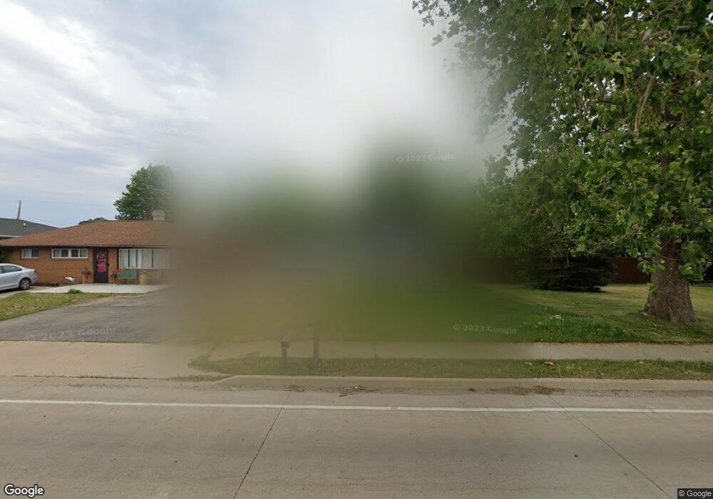
3908 Airport Rd Peoria, IL 61607
Estimated Value: $96,000 - $124,000
1
Bed
1
Bath
816
Sq Ft
$138/Sq Ft
Est. Value
About This Home
This home is located at 3908 Airport Rd, Peoria, IL 61607 and is currently estimated at $112,988, approximately $138 per square foot. 3908 Airport Rd is a home located in Peoria County with nearby schools including Oak Grove School, Oak Grove West School, and Limestone Community High School.
Ownership History
Date
Name
Owned For
Owner Type
Purchase Details
Closed on
Jul 5, 2017
Sold by
Lehman Betty J
Bought by
Griffin Diana L
Current Estimated Value
Home Financials for this Owner
Home Financials are based on the most recent Mortgage that was taken out on this home.
Original Mortgage
$75,801
Outstanding Balance
$64,601
Interest Rate
4.87%
Mortgage Type
FHA
Estimated Equity
$48,387
Create a Home Valuation Report for This Property
The Home Valuation Report is an in-depth analysis detailing your home's value as well as a comparison with similar homes in the area
Home Values in the Area
Average Home Value in this Area
Purchase History
| Date | Buyer | Sale Price | Title Company |
|---|---|---|---|
| Griffin Diana L | $77,500 | Attorney Only |
Source: Public Records
Mortgage History
| Date | Status | Borrower | Loan Amount |
|---|---|---|---|
| Open | Griffin Diana L | $75,801 |
Source: Public Records
Tax History Compared to Growth
Tax History
| Year | Tax Paid | Tax Assessment Tax Assessment Total Assessment is a certain percentage of the fair market value that is determined by local assessors to be the total taxable value of land and additions on the property. | Land | Improvement |
|---|---|---|---|---|
| 2024 | $2,842 | $35,060 | $6,620 | $28,440 |
| 2023 | $2,636 | $32,460 | $6,130 | $26,330 |
| 2022 | $3,070 | $30,370 | $5,770 | $24,600 |
| 2021 | $2,968 | $29,200 | $5,550 | $23,650 |
| 2020 | $2,813 | $28,630 | $5,440 | $23,190 |
| 2019 | $2,805 | $28,630 | $5,440 | $23,190 |
| 2018 | $2,741 | $28,620 | $5,440 | $23,180 |
| 2017 | $2,838 | $28,900 | $5,490 | $23,410 |
| 2016 | $1,760 | $29,200 | $5,550 | $23,650 |
| 2015 | $1,649 | $28,630 | $5,440 | $23,190 |
| 2014 | $261 | $28,110 | $5,330 | $22,780 |
| 2013 | -- | $28,110 | $5,330 | $22,780 |
Source: Public Records
Map
Nearby Homes
- 11 Sandalwood Ln
- 4206 S Granville Ave
- 3807 S Lafayette Ave
- 29 Gulf Stream Ave
- 1 New Salem Rd
- 4622 Meadow Ln
- 811 W Garfield Ave
- 0 Correll Ct
- 1000 Taylor Ln
- 605 Franklin Ave
- 5221 W Cisna Rd
- 0 S Skyway Rd
- 5914 Madison St
- 5115 W Harp Hollow Rd
- #8 W Harp Hollow Rd
- 6113 S Adams St
- 7113 Depot St
- 5801 S Jefferson St
- 5807 S Adams St
- 117 Harrison St
- 3902 Airport Rd
- 3900 Airport Rd
- 3912 Airport Rd
- 3927 S Paramount Rd
- 3916 S Airport Rd
- 3925 S Paramount Rd
- 3826 Airport Rd
- 3916 Airport Rd
- 3826 S Airport Rd
- 3921 S Paramount Rd
- 3931 S Paramount Rd
- 3920 S Airport Rd
- 3822 S Airport Rd
- 3822 Airport Rd
- 3920 Airport Rd
- 3911 S Paramount Rd
- 3935 S Paramount Rd
- 3818 Airport Rd
- 3924 Airport Rd
- 5408 Salisbury Ave