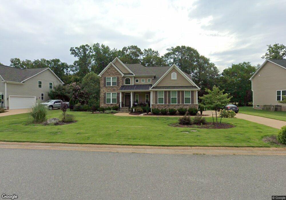
3909 Thorngate Dr Williamsburg, VA 23188
Greensprings NeighborhoodEstimated Value: $648,166 - $731,000
4
Beds
3
Baths
2,800
Sq Ft
$247/Sq Ft
Est. Value
About This Home
This home is located at 3909 Thorngate Dr, Williamsburg, VA 23188 and is currently estimated at $691,792, approximately $247 per square foot. 3909 Thorngate Dr is a home located in James City County with nearby schools including Matoaka Elementary School, Lois Hornsby Middle School, and Jamestown High School.
Ownership History
Date
Name
Owned For
Owner Type
Purchase Details
Closed on
Jun 4, 2013
Sold by
Nvr Inc
Bought by
Freeman Michael
Current Estimated Value
Home Financials for this Owner
Home Financials are based on the most recent Mortgage that was taken out on this home.
Original Mortgage
$413,801
Outstanding Balance
$292,827
Interest Rate
3.45%
Mortgage Type
New Conventional
Estimated Equity
$398,965
Create a Home Valuation Report for This Property
The Home Valuation Report is an in-depth analysis detailing your home's value as well as a comparison with similar homes in the area
Home Values in the Area
Average Home Value in this Area
Purchase History
| Date | Buyer | Sale Price | Title Company |
|---|---|---|---|
| Freeman Michael | $435,581 | -- |
Source: Public Records
Mortgage History
| Date | Status | Borrower | Loan Amount |
|---|---|---|---|
| Open | Freeman Michael | $413,801 |
Source: Public Records
Tax History
| Year | Tax Paid | Tax Assessment Tax Assessment Total Assessment is a certain percentage of the fair market value that is determined by local assessors to be the total taxable value of land and additions on the property. | Land | Improvement |
|---|---|---|---|---|
| 2025 | $4,647 | $559,900 | $146,500 | $413,400 |
| 2024 | $4,367 | $559,900 | $146,500 | $413,400 |
| 2023 | $4,367 | $459,600 | $118,800 | $340,800 |
| 2022 | $3,815 | $459,600 | $118,800 | $340,800 |
| 2021 | $3,563 | $424,200 | $118,800 | $305,400 |
| 2020 | $3,563 | $424,200 | $118,800 | $305,400 |
| 2019 | $3,456 | $411,400 | $106,000 | $305,400 |
| 2018 | $3,456 | $411,400 | $106,000 | $305,400 |
| 2017 | $3,456 | $411,400 | $106,000 | $305,400 |
| 2016 | $3,456 | $411,400 | $106,000 | $305,400 |
| 2015 | $1,628 | $387,600 | $106,000 | $281,600 |
| 2014 | $2,985 | $387,600 | $106,000 | $281,600 |
Source: Public Records
Map
Nearby Homes
- 3215 Westover Ridge
- 4023 Thorngate Dr
- 3239 Westover Ridge
- 3783 Brick Bat Rd
- 4032 Colonial Crescent
- 4105 Longview Landing
- 4216 Haymarket Ln
- 4123 Longview Landing
- 3840 Philip Ludwell
- 3719 Waterloo Place
- 4045 Frances Berkeley
- 4008 Elizabeth Killebrew
- 200 Thompson Ln
- 232 Thompson Ln
- 2306 Montgomerie Arch
- 262 Thompson Ln
- 4092 Centerville Rd
- 2801 Ann Johnson Ln
- 3017 Margaret Jones Ln
- 2805 Ann Johnson Ln
- 3915 Thorngate Dr
- 3905 Thorngate Dr
- 3919 Thorngate Dr
- 3901 Thorngate Dr
- 3923 Thorngate Dr
- 3860 Brick Bat Rd
- 3927 Thorngate Dr
- 3830 Brick Bat Rd
- 3301 Windsor Ridge S
- 3297 Windsor Ridge S
- 3293 Windsor Ridge S
- 3305 Windsor Ridge S
- 3918 Thorngate Dr
- 3931 Thorngate Dr
- 3309 Windsor Ridge S
- 3289 Windsor Ridge S
- 3285 Windsor Ridge S
- 3935 Thorngate Dr
- 3922 Thorngate Dr
- 3798 Brick Bat Rd
Your Personal Tour Guide
Ask me questions while you tour the home.