Estimated Value: $212,000 - $244,000
3
Beds
2
Baths
2,548
Sq Ft
$91/Sq Ft
Est. Value
About This Home
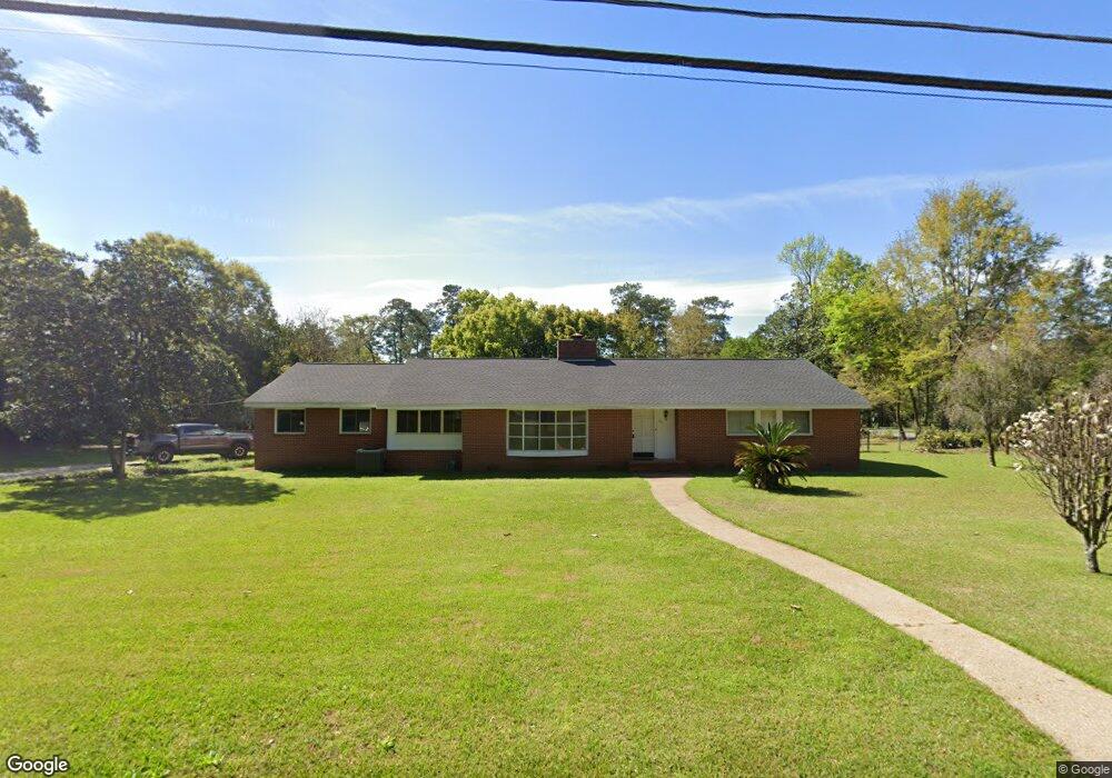
This home is located at 391 12th Ave NW, Cairo, GA 39828 and is currently estimated at $231,481, approximately $90 per square foot. 391 12th Ave NW is a home located in Grady County with nearby schools including Cairo High School.
Ownership History
Date
Name
Owned For
Owner Type
Purchase Details
Closed on
Aug 12, 2005
Sold by
Head Charles W
Bought by
Brown Henry T and Brown Suzanne C
Current Estimated Value
Home Financials for this Owner
Home Financials are based on the most recent Mortgage that was taken out on this home.
Original Mortgage
$156,000
Outstanding Balance
$81,685
Interest Rate
5.61%
Mortgage Type
New Conventional
Estimated Equity
$149,796
Purchase Details
Closed on
Dec 15, 2004
Sold by
Legette Lequita
Bought by
Head Charles W
Purchase Details
Closed on
Jun 9, 1958
Bought by
Legette Lequita
Create a Home Valuation Report for This Property
The Home Valuation Report is an in-depth analysis detailing your home's value as well as a comparison with similar homes in the area
Purchase History
| Date | Buyer | Sale Price | Title Company |
|---|---|---|---|
| Brown Henry T | $195,000 | -- | |
| Head Charles W | $172,500 | -- | |
| Legette Lequita | -- | -- |
Source: Public Records
Mortgage History
| Date | Status | Borrower | Loan Amount |
|---|---|---|---|
| Open | Brown Henry T | $156,000 |
Source: Public Records
Tax History
| Year | Tax Paid | Tax Assessment Tax Assessment Total Assessment is a certain percentage of the fair market value that is determined by local assessors to be the total taxable value of land and additions on the property. | Land | Improvement |
|---|---|---|---|---|
| 2024 | $2,398 | $81,285 | $5,520 | $75,765 |
| 2023 | $2,050 | $57,060 | $9,990 | $47,070 |
| 2022 | $2,489 | $66,247 | $9,990 | $56,257 |
| 2021 | $2,496 | $66,247 | $9,990 | $56,257 |
| 2020 | $2,502 | $66,247 | $9,990 | $56,257 |
| 2019 | $2,454 | $65,009 | $9,990 | $55,019 |
| 2018 | $2,333 | $65,009 | $9,990 | $55,019 |
| 2017 | $2,245 | $65,009 | $9,990 | $55,019 |
| 2016 | $1,949 | $55,399 | $9,990 | $45,409 |
| 2015 | $1,929 | $55,399 | $9,990 | $45,409 |
| 2014 | $1,930 | $55,399 | $9,990 | $45,409 |
| 2013 | -- | $51,576 | $9,990 | $41,586 |
Source: Public Records
Map
Nearby Homes
- 00 6th St NW
- 909 4th St NW
- 1420 Parallel Dr NW
- 698 12th Ave NW
- 220 8th Ave NW
- 1497 U S 84
- 000 15th Ave Nw -- Tract 2
- 000 15th Ave Nw -- Tract 1
- 2975 U S 84
- 00 00 Hwy 111 South Tract 2
- 1016 Syrup Mill Creek Ln
- 1490 Magnolia Dr
- 125 6th Ave NW
- 1296 McQuaig St NW
- 0 McQuaig St NW
- 4761 Hadley Ferry Rd
- 1293 McQuaig St NW
- 00 Hwy 111 South Tract 1
- X 1st St
- 0 1st St
- 350 12th Ave NW
- 406 12th Ave NW
- 333 12th Ave NW
- 330 12th Ave NW
- 329 12th Ave NW
- 222 11th Ave NW
- 1212 4th St NW
- 1225 4th St NW
- 419 12th Ave NW
- 328 12th Ave NW
- 420 12th Ave NW
- 321 12th Ave NW
- 316 13th Ave NW
- 400 11th Ave NW
- 294 11th Ave NW
- 1302 5th St NW
- 1010 4th St NW
- 315 13th Ave NW
- 1223 Us Highway 84 W
- 318 12th Ave NW
Your Personal Tour Guide
Ask me questions while you tour the home.