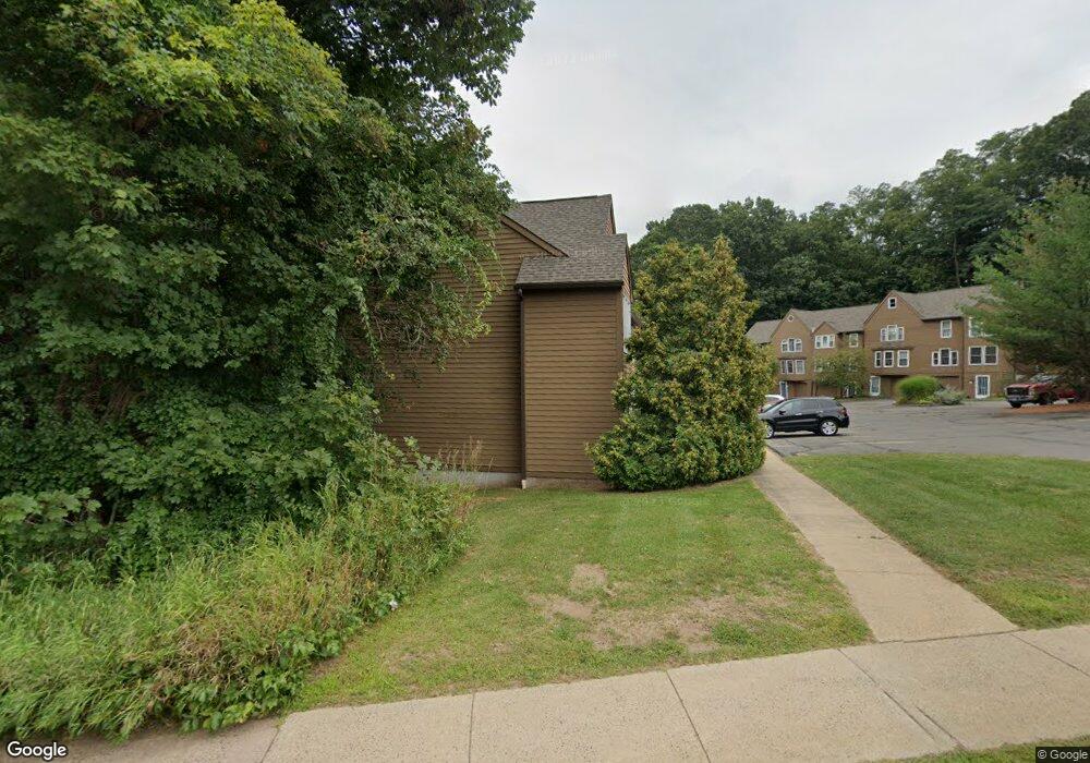
391 Adams St Unit 15 Manchester, CT 06042
Waddell NeighborhoodEstimated Value: $244,000 - $278,000
2
Beds
2
Baths
1,261
Sq Ft
$204/Sq Ft
Est. Value
About This Home
This home is located at 391 Adams St Unit 15, Manchester, CT 06042 and is currently estimated at $257,586, approximately $204 per square foot. 391 Adams St Unit 15 is a home located in Hartford County with nearby schools including Waddell School, Illing Middle School, and Elisabeth M. Bennet Academy.
Ownership History
Date
Name
Owned For
Owner Type
Purchase Details
Closed on
Aug 15, 2025
Sold by
Bomboy Robert Est and Murdock
Bought by
Christy Michael
Current Estimated Value
Home Financials for this Owner
Home Financials are based on the most recent Mortgage that was taken out on this home.
Original Mortgage
$220,410
Outstanding Balance
$220,217
Interest Rate
6.67%
Mortgage Type
New Conventional
Estimated Equity
$37,369
Purchase Details
Closed on
Oct 17, 1994
Sold by
Ziskoski Raymond J and Ziskoski Janet A
Bought by
Bomboy Robert A
Create a Home Valuation Report for This Property
The Home Valuation Report is an in-depth analysis detailing your home's value as well as a comparison with similar homes in the area
Home Values in the Area
Average Home Value in this Area
Purchase History
| Date | Buyer | Sale Price | Title Company |
|---|---|---|---|
| Christy Michael | $224,900 | -- | |
| Bomboy Robert A | $83,900 | -- | |
| Bomboy Robert A | $83,900 | -- |
Source: Public Records
Mortgage History
| Date | Status | Borrower | Loan Amount |
|---|---|---|---|
| Open | Christy Michael | $220,410 |
Source: Public Records
Tax History Compared to Growth
Tax History
| Year | Tax Paid | Tax Assessment Tax Assessment Total Assessment is a certain percentage of the fair market value that is determined by local assessors to be the total taxable value of land and additions on the property. | Land | Improvement |
|---|---|---|---|---|
| 2025 | $4,989 | $125,300 | $0 | $125,300 |
| 2024 | $4,847 | $125,300 | $0 | $125,300 |
| 2023 | $4,661 | $125,300 | $0 | $125,300 |
| 2022 | $4,570 | $125,300 | $0 | $125,300 |
| 2021 | $4,068 | $111,400 | $0 | $111,400 |
| 2020 | $4,068 | $111,400 | $0 | $111,400 |
| 2019 | $4,068 | $111,400 | $0 | $111,400 |
| 2018 | $3,989 | $111,400 | $0 | $111,400 |
| 2017 | $3,882 | $111,400 | $0 | $111,400 |
| 2016 | $3,217 | $92,300 | $0 | $92,300 |
| 2015 | $3,201 | $92,300 | $0 | $92,300 |
| 2014 | $3,138 | $92,300 | $0 | $92,300 |
Source: Public Records
Map
Nearby Homes
- 474 Adams St
- 8 Hendee Rd
- 47 Crestwood Dr
- 15 Deepwood Dr
- 11 Penn Rd
- 65 Deepwood Dr
- 527 Hilliard St Unit B
- 49 Brent Rd
- 126 Falknor Dr
- 15 Saint John St
- 85 Falknor Dr
- 633 Center St Unit E
- 52 Devon Dr
- 149 Deepwood Dr
- 14 Saint Lawrence St
- 600 Center St
- 4 Flint Dr
- 176 Broad St
- 182 Broad St
- 20 Thompson Rd Unit 8A
- 391 Adams St Unit 17
- 391 Adams St Unit 16
- 391 Adams St Unit 14
- 391 Adams St Unit 12
- 391 Adams St Unit 11
- 401 Adams St Unit 5
- 401 Adams St Unit 4
- 401 Adams St Unit 3
- 401 Adams St Unit 2
- 401 Adams St Unit 1
- 399 Adams St Unit 9
- 399 Adams St Unit 8
- 399 Adams St Unit 7
- 399 Adams St Unit 6
- 399 Adams St Unit 10
- 368 Adams St
- 61 Englewood Dr
- 362 Adams St
- 57 Englewood Dr
- 525 Middle Turnpike W