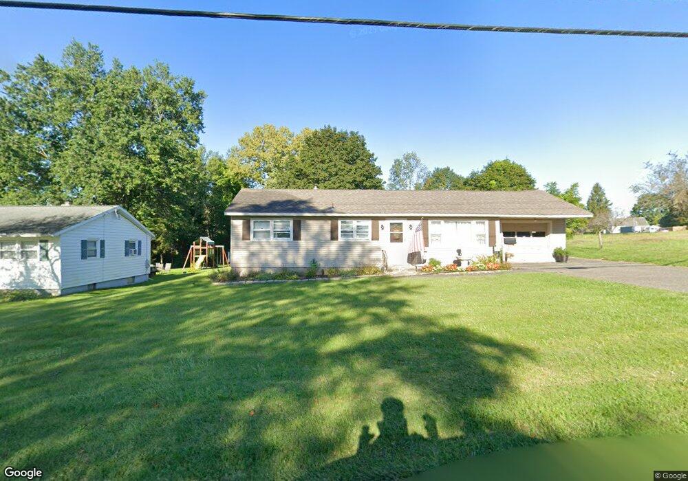
391 Benedict Rd Pittsfield, MA 01201
Estimated Value: $340,000 - $402,000
4
Beds
2
Baths
1,718
Sq Ft
$217/Sq Ft
Est. Value
About This Home
This home is located at 391 Benedict Rd, Pittsfield, MA 01201 and is currently estimated at $372,297, approximately $216 per square foot. 391 Benedict Rd is a home located in Berkshire County with nearby schools including Allendale Elementary School, Theodore Herberg Middle School, and Pittsfield High School.
Ownership History
Date
Name
Owned For
Owner Type
Purchase Details
Closed on
Apr 7, 1993
Sold by
Giardina Francis A and Giardina Cynthia R
Bought by
Bolus Joseph G and Weatherwax Beth
Current Estimated Value
Home Financials for this Owner
Home Financials are based on the most recent Mortgage that was taken out on this home.
Original Mortgage
$88,000
Interest Rate
7.48%
Mortgage Type
Purchase Money Mortgage
Create a Home Valuation Report for This Property
The Home Valuation Report is an in-depth analysis detailing your home's value as well as a comparison with similar homes in the area
Home Values in the Area
Average Home Value in this Area
Purchase History
| Date | Buyer | Sale Price | Title Company |
|---|---|---|---|
| Bolus Joseph G | $110,000 | -- |
Source: Public Records
Mortgage History
| Date | Status | Borrower | Loan Amount |
|---|---|---|---|
| Closed | Bolus Joseph G | $88,000 | |
| Previous Owner | Bolus Joseph G | $28,000 | |
| Previous Owner | Bolus Joseph G | $20,000 |
Source: Public Records
Tax History
| Year | Tax Paid | Tax Assessment Tax Assessment Total Assessment is a certain percentage of the fair market value that is determined by local assessors to be the total taxable value of land and additions on the property. | Land | Improvement |
|---|---|---|---|---|
| 2025 | $6,390 | $356,200 | $100,900 | $255,300 |
| 2024 | $5,867 | $318,000 | $100,900 | $217,100 |
| 2023 | $5,523 | $301,500 | $100,900 | $200,600 |
| 2022 | $4,948 | $266,600 | $92,100 | $174,500 |
| 2021 | $4,689 | $243,600 | $92,100 | $151,500 |
| 2020 | $4,417 | $224,100 | $77,800 | $146,300 |
| 2019 | $4,189 | $215,700 | $72,500 | $143,200 |
| 2018 | $3,798 | $189,800 | $72,500 | $117,300 |
| 2017 | $3,681 | $187,500 | $74,500 | $113,000 |
| 2016 | $3,324 | $177,200 | $62,500 | $114,700 |
| 2015 | $3,200 | $177,200 | $62,500 | $114,700 |
Source: Public Records
Map
Nearby Homes
- 96 Broadview Terrace
- 167 E Park Terrace
- 74 Norman Ave
- 71 Dickinson Ave
- 0 Stanley Ave
- 0 Faucett Ln
- 40 Roland St
- 121 Elberon Ave
- 21 Ensign Ave
- I11001904 Scammell Ave
- 81 Dartmouth St Unit 108
- 258 Dalton Ave
- 91 Dalton Ave
- 0 Brown St
- 5 Marco Dr
- 0 Parker St
- 607 Crane Ave
- 29 Glenwood Ave
- 11 Crane Ave
- 29 Murphy Place
Your Personal Tour Guide
Ask me questions while you tour the home.