Estimated Value: $194,683 - $354,000
2
Beds
1
Bath
320
Sq Ft
$890/Sq Ft
Est. Value
About This Home
This home is located at 391 Birch Point Rd, Perry, ME 04667 and is currently estimated at $284,894, approximately $890 per square foot. 391 Birch Point Rd is a home with nearby schools including Perry Elementary School.
Ownership History
Date
Name
Owned For
Owner Type
Purchase Details
Closed on
Dec 10, 2013
Sold by
Norton Richard C and Greenlaw-Peakes Jane N
Bought by
Clark Dennis and Clark Debra
Current Estimated Value
Home Financials for this Owner
Home Financials are based on the most recent Mortgage that was taken out on this home.
Original Mortgage
$39,000
Outstanding Balance
$29,293
Interest Rate
4%
Mortgage Type
Adjustable Rate Mortgage/ARM
Estimated Equity
$255,601
Create a Home Valuation Report for This Property
The Home Valuation Report is an in-depth analysis detailing your home's value as well as a comparison with similar homes in the area
Home Values in the Area
Average Home Value in this Area
Purchase History
| Date | Buyer | Sale Price | Title Company |
|---|---|---|---|
| Clark Dennis | -- | -- | |
| Clark Dennis | -- | -- |
Source: Public Records
Mortgage History
| Date | Status | Borrower | Loan Amount |
|---|---|---|---|
| Open | Clark Dennis | $39,000 | |
| Closed | Clark Dennis | $39,000 |
Source: Public Records
Tax History Compared to Growth
Tax History
| Year | Tax Paid | Tax Assessment Tax Assessment Total Assessment is a certain percentage of the fair market value that is determined by local assessors to be the total taxable value of land and additions on the property. | Land | Improvement |
|---|---|---|---|---|
| 2024 | $1,354 | $91,500 | $52,900 | $38,600 |
| 2023 | $1,507 | $94,200 | $55,600 | $38,600 |
| 2022 | $1,410 | $94,000 | $55,400 | $38,600 |
| 2021 | $1,103 | $73,500 | $55,200 | $18,300 |
| 2020 | $1,206 | $74,000 | $55,700 | $18,300 |
| 2019 | $1,221 | $74,000 | $55,700 | $18,300 |
| 2018 | $1,228 | $74,400 | $56,100 | $18,300 |
| 2017 | $1,267 | $74,500 | $56,200 | $18,300 |
| 2016 | $178 | $11,000 | $11,000 | $0 |
| 2015 | $143 | $8,800 | $8,800 | $0 |
| 2014 | $136 | $8,800 | $8,800 | $0 |
| 2013 | $186 | $14,400 | $14,400 | $0 |
Source: Public Records
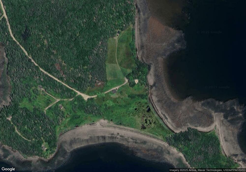
Map
Nearby Homes
- L1-1,2,3,4 Birch Point Rd
- 150 Leach Point Rd
- Lot 13 Red Rock Estates
- 448 Garnet Head Rd
- 54 Old Toll Bridge Rd
- 149 Old Eastport Rd
- 2 Janney St
- 1 Deek St
- 0 Barton St
- 3-1 Garnet Head Rd
- 17 Indian Rd
- 187 County Rd
- 27 Redoubt Hill Rd
- 1 Daggett Rd
- 799 N Lubec Rd
- 7 Deep Cove Rd
- 155 Coffins Neck Rd
- 104 County Rd
- Lot 48 Coffins Neck Rd
- 82 County Rd
- 281 Birch Point Rd
- Map 1, Lot Birch Point Rd
- M1 L 3A-15 Birch Point Rd
- 303 Birch Point Rd
- Map 1 Birch Point Rd
- 44 Cobscook Dr
- xxx Birch Point Rd
- XX Birch Point Rd
- 101 Birch Point Rd
- 102 Birch Point Rd
- 0 Birch Point Rd Unit 1567727
- 0 Birch Point Rd Unit 1035510
- 0 Birch Point Rd Unit 1037908
- 0 Birch Point Rd Unit 1081654
- 0 Birch Point Rd Unit 1107190
- 0 Birch Point Rd Unit 1241074
- 0 Birch Point Rd Unit 1320007
- 0 Birch Point Rd Unit 1533086
- TBD Birch Point Rd
- 270 Cannon Hill Rd