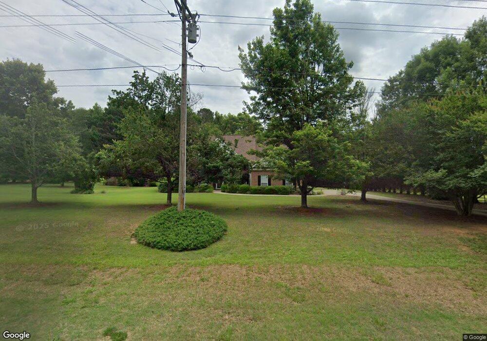
391 Bob Smith Rd Sharpsburg, GA 30277
Estimated Value: $373,786 - $461,000
4
Beds
2
Baths
2,097
Sq Ft
$203/Sq Ft
Est. Value
About This Home
This home is located at 391 Bob Smith Rd, Sharpsburg, GA 30277 and is currently estimated at $425,697, approximately $203 per square foot. 391 Bob Smith Rd is a home located in Coweta County with nearby schools including Willis Road Elementary School, Lee Middle School, and East Coweta High School.
Ownership History
Date
Name
Owned For
Owner Type
Purchase Details
Closed on
Dec 13, 2002
Sold by
Stonemill Homes Llc
Bought by
Hughes Scott and Hughes Pam
Current Estimated Value
Home Financials for this Owner
Home Financials are based on the most recent Mortgage that was taken out on this home.
Original Mortgage
$197,650
Outstanding Balance
$90,465
Interest Rate
6.08%
Mortgage Type
VA
Estimated Equity
$335,232
Purchase Details
Closed on
Dec 7, 2001
Sold by
Brookside Communitie
Bought by
Stonemill Homes Llc
Purchase Details
Closed on
Sep 20, 1999
Bought by
Brookside Communitie
Create a Home Valuation Report for This Property
The Home Valuation Report is an in-depth analysis detailing your home's value as well as a comparison with similar homes in the area
Home Values in the Area
Average Home Value in this Area
Purchase History
| Date | Buyer | Sale Price | Title Company |
|---|---|---|---|
| Hughes Scott | $191,900 | -- | |
| Stonemill Homes Llc | -- | -- | |
| Brookside Communitie | $494,300 | -- |
Source: Public Records
Mortgage History
| Date | Status | Borrower | Loan Amount |
|---|---|---|---|
| Open | Hughes Scott | $197,650 |
Source: Public Records
Tax History Compared to Growth
Tax History
| Year | Tax Paid | Tax Assessment Tax Assessment Total Assessment is a certain percentage of the fair market value that is determined by local assessors to be the total taxable value of land and additions on the property. | Land | Improvement |
|---|---|---|---|---|
| 2025 | $3,200 | $140,297 | $24,000 | $116,297 |
| 2024 | $3,204 | $142,608 | $24,000 | $118,608 |
| 2023 | $3,204 | $112,495 | $18,000 | $94,495 |
| 2022 | $2,555 | $108,412 | $18,000 | $90,412 |
| 2021 | $2,348 | $93,882 | $18,000 | $75,882 |
| 2020 | $2,363 | $93,882 | $18,000 | $75,882 |
| 2019 | $1,966 | $71,971 | $12,000 | $59,971 |
| 2018 | $1,970 | $71,971 | $12,000 | $59,971 |
| 2017 | $1,781 | $65,546 | $12,000 | $53,546 |
| 2016 | $1,762 | $65,546 | $12,000 | $53,546 |
| 2015 | $1,735 | $65,546 | $12,000 | $53,546 |
| 2014 | $1,723 | $65,546 | $12,000 | $53,546 |
Source: Public Records
Map
Nearby Homes
- 25 Lentry Dr
- 180 Saint James Place
- 25 Chemin Place
- 8 Chiefs Trail
- 21 Lake Park Ct
- 250 Bob Smith Rd
- 196 Bob Smith Rd
- 50 Kay Ct
- 0 Bob Smith Rd Unit 10562838
- 140 Halo Trace
- 7483 Highway 54
- 40 Long Branch Trail
- 51 Christopher Rd
- 28 Fawn Ct
- 214 Northwynn Dr
- 296 Mcintosh Trail
- 0 Highway 154 Unit 10470800
- Briarwood Plan at Twelve Parks 55+
- Sullivan Plan at Twelve Parks 55+
- 4 Unicoi Trail
- 365 Bob Smith Rd
- 7 Melrose Dr
- 343 Bob Smith Rd
- 404 Bob Smith Rd
- 386 Bob Smith Rd
- 8 Melrose Dr
- 428 Bob Smith Rd
- 366 Bob Smith Rd
- 115 Melrose Dr
- 48 Melrose Dr
- 71 Melrose Dr
- 321 Bob Smith Rd
- 436 Bob Smith Rd
- 64 Melrose Dr
- 85 Melrose Dr
- 465 Bob Smith Rd
- 125 Melrose Dr
- 95 Melrose Dr
- 320 Bob Smith Rd
- 76 Melrose Dr