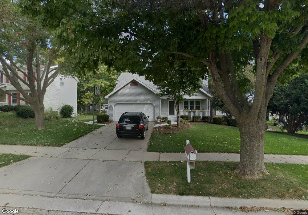
391 Burning Wood Way Oregon, WI 53575
Estimated Value: $469,000 - $563,000
3
Beds
3
Baths
1,984
Sq Ft
$254/Sq Ft
Est. Value
About This Home
This home is located at 391 Burning Wood Way, Oregon, WI 53575 and is currently estimated at $504,885, approximately $254 per square foot. 391 Burning Wood Way is a home located in Dane County with nearby schools including Rome Corners Intermediate School, Oregon Middle School, and Oregon High School.
Ownership History
Date
Name
Owned For
Owner Type
Purchase Details
Closed on
Feb 11, 2025
Sold by
Rampetsreiter Michael P
Bought by
Garson Rita M and Rampetsreiter Michael P
Current Estimated Value
Purchase Details
Closed on
Jun 8, 2016
Sold by
Rampetsreiter Cynthia A
Bought by
Rampetsreiter Michael P
Home Financials for this Owner
Home Financials are based on the most recent Mortgage that was taken out on this home.
Original Mortgage
$182,000
Interest Rate
3.54%
Mortgage Type
New Conventional
Create a Home Valuation Report for This Property
The Home Valuation Report is an in-depth analysis detailing your home's value as well as a comparison with similar homes in the area
Home Values in the Area
Average Home Value in this Area
Purchase History
| Date | Buyer | Sale Price | Title Company |
|---|---|---|---|
| Garson Rita M | -- | None Listed On Document | |
| Rampetsreiter Michael P | -- | Attorney |
Source: Public Records
Mortgage History
| Date | Status | Borrower | Loan Amount |
|---|---|---|---|
| Previous Owner | Rampetsreiter Michael P | $182,000 |
Source: Public Records
Tax History Compared to Growth
Tax History
| Year | Tax Paid | Tax Assessment Tax Assessment Total Assessment is a certain percentage of the fair market value that is determined by local assessors to be the total taxable value of land and additions on the property. | Land | Improvement |
|---|---|---|---|---|
| 2024 | $6,878 | $421,100 | $61,500 | $359,600 |
| 2023 | $6,624 | $421,100 | $61,500 | $359,600 |
| 2021 | $5,802 | $339,600 | $61,500 | $278,100 |
| 2020 | $5,768 | $323,100 | $61,500 | $261,600 |
| 2019 | $5,357 | $302,000 | $61,500 | $240,500 |
| 2018 | $5,099 | $282,200 | $61,500 | $220,700 |
| 2017 | $5,003 | $268,800 | $61,500 | $207,300 |
| 2016 | $4,890 | $256,000 | $61,500 | $194,500 |
| 2015 | $4,810 | $248,600 | $61,500 | $187,100 |
| 2014 | -- | $243,200 | $61,500 | $181,700 |
| 2013 | $4,975 | $239,100 | $61,500 | $177,600 |
Source: Public Records
Map
Nearby Homes
- 564 S Burr Oak Ave
- 141 Amanda Ct
- 163 Hickory Ct
- 168 Hickory Ct
- 924 Brynhill Dr
- 280 Ash St
- 963 Brynhill Dr
- 192 State St
- 182 Ames St
- 1025 Brynhill Dr
- 507 Janesville St
- 669 N Woods Edge Dr
- 826 Sumac St
- 275 Park St
- 920 Carnoustie Way
- 130 Jwana Cir
- 264 Alpine Meadow Cir
- 270 Alpine Meadow Cir
- 441 Jefferson St
- 131 Raquel Cir
- 401 Burning Wood Way
- 471 S Burr Oak Ave
- 463 S Burr Oak Ave
- 432 Thomas Ct
- 449 S Burr Oak Ave
- 419 Burning Wood Way
- 438 Thomas Ct
- 426 Thomas Ct
- 388 Burning Wood Way
- 398 Burning Wood Way
- 437 S Burr Oak Ave
- 380 Burning Wood Way
- 416 Burning Wood Way
- 429 Burning Wood Way
- 429 S Burr Oak Ave
- 470 S Burr Oak Ave
- 442 Thomas Ct
- 462 S Burr Oak Ave
- 482 S Burr Oak Ave
- 428 Burning Wood Way