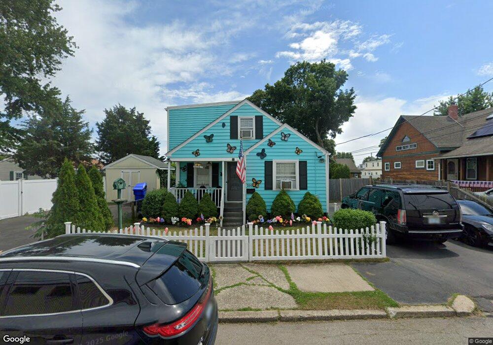
391 Carter Ave Pawtucket, RI 02861
Darlington NeighborhoodEstimated Value: $407,000 - $459,000
3
Beds
2
Baths
1,721
Sq Ft
$247/Sq Ft
Est. Value
About This Home
This home is located at 391 Carter Ave, Pawtucket, RI 02861 and is currently estimated at $424,230, approximately $246 per square foot. 391 Carter Ave is a home located in Providence County with nearby schools including St Cecilia School and Saint Teresa Catholic Elementary School.
Ownership History
Date
Name
Owned For
Owner Type
Purchase Details
Closed on
Aug 9, 2017
Sold by
Davis Lorie and Lesieur Jesse
Bought by
Lesieur Jesse and Medeiros Carl A
Current Estimated Value
Purchase Details
Closed on
Jul 28, 2000
Sold by
Archambault Barbara L
Bought by
Davis Lorie J
Create a Home Valuation Report for This Property
The Home Valuation Report is an in-depth analysis detailing your home's value as well as a comparison with similar homes in the area
Home Values in the Area
Average Home Value in this Area
Purchase History
| Date | Buyer | Sale Price | Title Company |
|---|---|---|---|
| Lesieur Jesse | -- | -- | |
| Davis Lorie J | $87,000 | -- |
Source: Public Records
Mortgage History
| Date | Status | Borrower | Loan Amount |
|---|---|---|---|
| Previous Owner | Davis Lorie J | $12,500 | |
| Previous Owner | Davis Lorie J | $133,000 | |
| Previous Owner | Davis Lorie J | $101,700 | |
| Previous Owner | Davis Lorie J | $10,304 |
Source: Public Records
Tax History Compared to Growth
Tax History
| Year | Tax Paid | Tax Assessment Tax Assessment Total Assessment is a certain percentage of the fair market value that is determined by local assessors to be the total taxable value of land and additions on the property. | Land | Improvement |
|---|---|---|---|---|
| 2025 | $4,250 | $323,200 | $138,300 | $184,900 |
| 2024 | $3,988 | $323,200 | $138,300 | $184,900 |
| 2023 | $3,690 | $217,800 | $73,000 | $144,800 |
| 2022 | $3,611 | $217,800 | $73,000 | $144,800 |
| 2021 | $3,611 | $217,800 | $73,000 | $144,800 |
| 2020 | $3,472 | $166,200 | $60,800 | $105,400 |
| 2019 | $3,472 | $166,200 | $60,800 | $105,400 |
| 2018 | $3,346 | $166,200 | $60,800 | $105,400 |
| 2017 | $2,917 | $128,400 | $44,800 | $83,600 |
| 2016 | $2,811 | $128,400 | $44,800 | $83,600 |
| 2015 | $2,811 | $128,400 | $44,800 | $83,600 |
| 2014 | $2,880 | $124,900 | $44,800 | $80,100 |
Source: Public Records
Map
Nearby Homes
- 329 Pullen Ave
- 228 London Ave
- 358 Orient Ave
- 133 Hanover Ave
- 304 Hughes Ave
- 1167 Newport Ave
- 126 Suffolk Ave
- 119 Gregory Dr
- 51 Benjamin St
- 120 Rowe Ave
- 143 Hatfield St
- 84 Bellevue Ave
- 888 Central Ave
- 140 Robinson Ave
- 342 Grand Ave
- 41 Calder St
- 113 Oakland Ave
- 9 Makin St
- 49 Harcourt Ave
- 127 Ricard St
- 383 Carter Ave
- 168 Orient Ave
- 172 Orient Ave
- 377 Carter Ave
- 258 Pullen Ave
- 250 Pullen Ave
- 156 Orient Ave
- 371 Carter Ave
- 371 Carter Ave Unit 2
- 246 Pullen Ave
- 244 Pullen Ave
- 369 Carter Ave Unit 2
- 367 Carter Ave
- 259 Pullen Ave
- 238 Pullen Ave
- 167 Orient Ave
- 163 Orient Ave
- 411 Carter Ave
- 280 Pullen Ave
- 255 Pullen Ave